
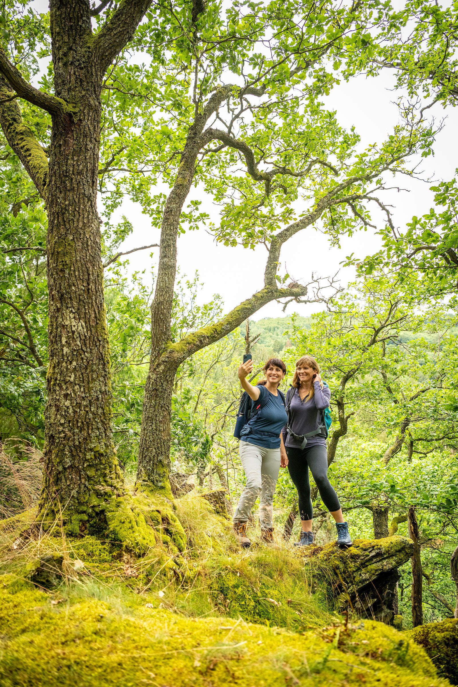
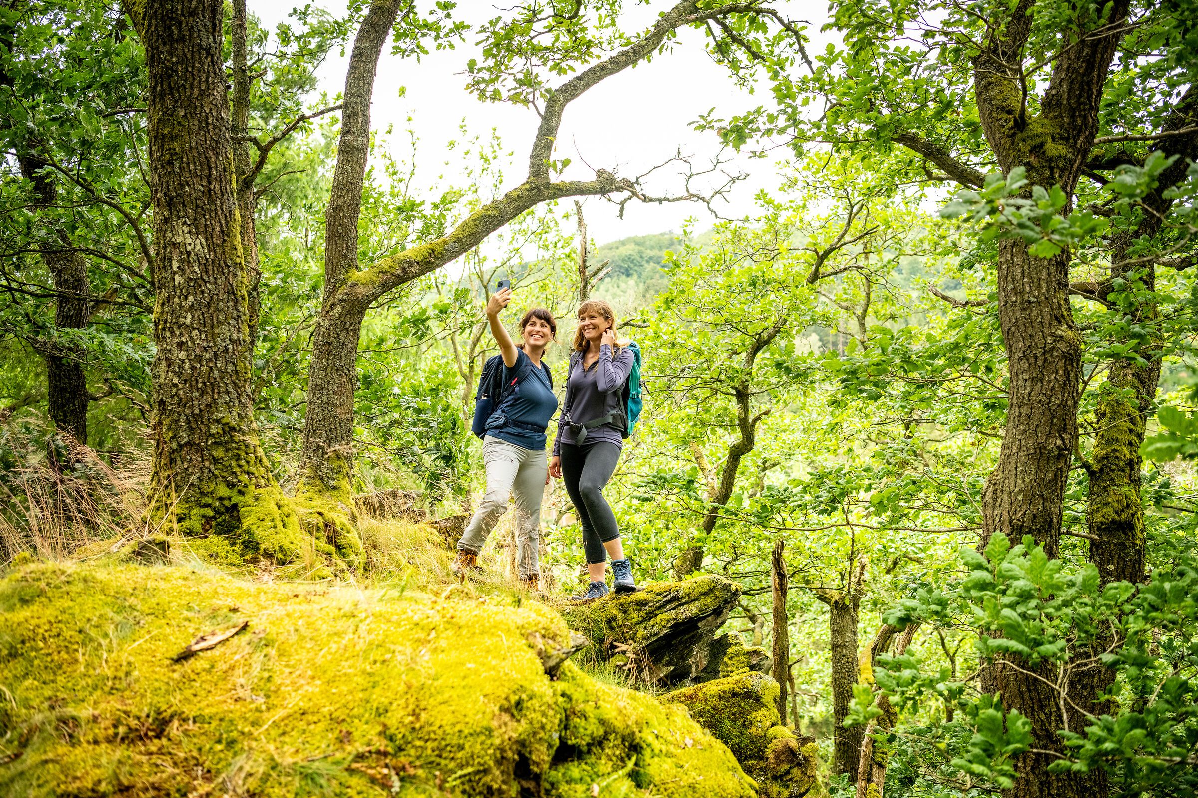
In the Eifel, every path leads you not only through breathtaking landscapes, but also through centuries of history, traces of ancient cultures and deep experiences of nature. Between volcanic rocks and gentle mountain ranges, quiet valleys and sunny juniper heaths lies your very own personal path - and you can now easily find it with the new hiking tour finder.
Whether cultural-historical, natural, sporty or meditative - each hiking route tells its own story. You decide what you want to discover: the rugged rock formations of the Devil's Gorge, the mighty reservoirs and the primeval forest of tomorrow in the Eifel National Park, the wide plateaus in the wild Islek, the powerful volcanic landscape or the rushing natural spectacle at the highest waterfall in the Eifel.
Plan individually. Experience it authentically. Immerse yourself deeply.
With just a few clicks, you can find the tour that suits your rhythm - by difficulty, length or theme.
The hiking tour finder is your compass for discovering the natural landscapes of the Eifel
Find a tour now and start hiking:

Easy circular hike (7.1 km) - dream path around Polch with great views of the Maifeld.
The third and longest leg of the route leads high into the hills and is 18.7 km long, the highest point being the Aremberg.

The circular route leads through the Perlenbach valley near Monschau-Höfen to the "Unterer Steg" footbridge, which crosses the stream, and back downstream to Höfener Mühle.
The watercourses and their floodplains are a typical and ecologically valuable part of the Rureifel with a great wealth of flora and fauna. This diversity is thanks to the farmers who have mowed the meadows for centuries. When modern forms of farming close to villages made haymaking in the valleys no longer worthwhile, spruce trees were planted there. Efforts are currently being made in many places to restore the original floodplain vegetation. The characteristic terracing can be seen in many places along the hiking trail. This occurs when a river is no longer able to transport its debris load and deposits it in the floodplain. If a river deepens again due to a change in climate, it cuts through the previously formed terrace. The formerly swampy valleys of the Eifel only acquired their function as traffic routes after the river regulation at the beginning of the 20th century.
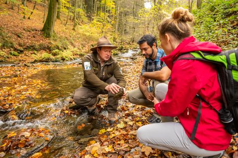
Circular trail - 5.9 km - from the Rothe Kreuz parking lot in Höfen

Experience the highest elevation in the Eifel up close: the circular trail around the Hohe Acht offers impressive nature, sweeping views from the Kaiser Wilhelm Tower and varied hiking trails through forests and over heights."

In the course of open-cast lignite mining, the Inde was relocated along a length of 12 kilometers around the open-cast mine and is now a vivid example of a near-natural river landscape and habitat for many plants and animals.

The Volcano Trail (13) connects the eastern and central parts of the Volcanic Eifel in a series of wide loops; it is a hiking trail that winds through the Eifel’s recent and most recent volcanic activity.
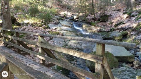
11.4 km long circular hiking trail through Mützenich into the romantic Rur valley Starting point: Mützenich village square

Hiking in the footsteps of St. Jodokus: The Jodokus Trail starts and ends in Langenfeld at the neo-Gothic parish church "St. Quirinus", which is also popularly known as the "Eifel Cathedral" due to its importance as a pilgrimage church and its considerable size. On the route, which is around 11 kilometers long and marked with a "J", hikers reach the pilgrimage chapel of St. Jost along an old pilgrimage path.
Selected cycling and hiking tours in October and November at a special price.