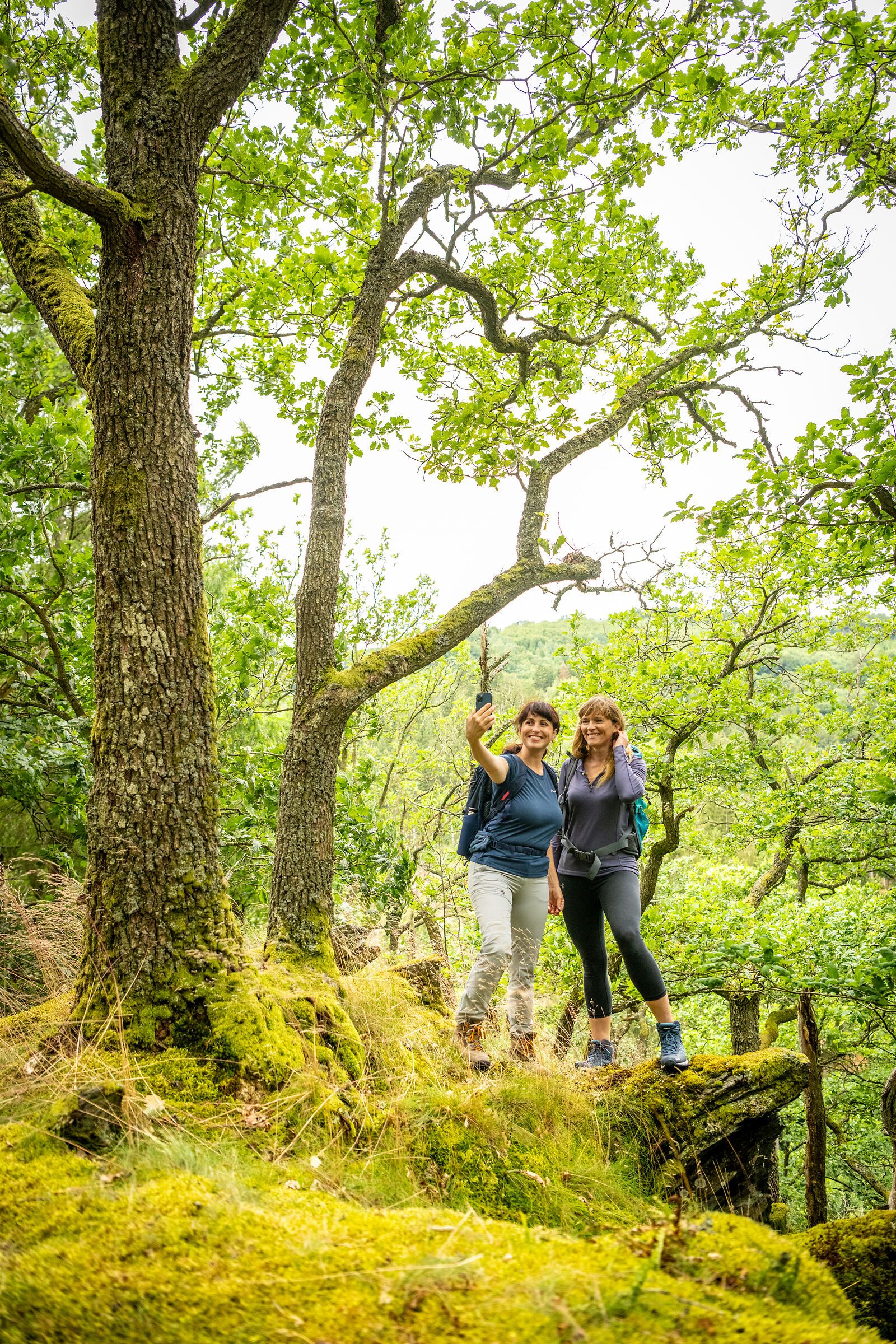
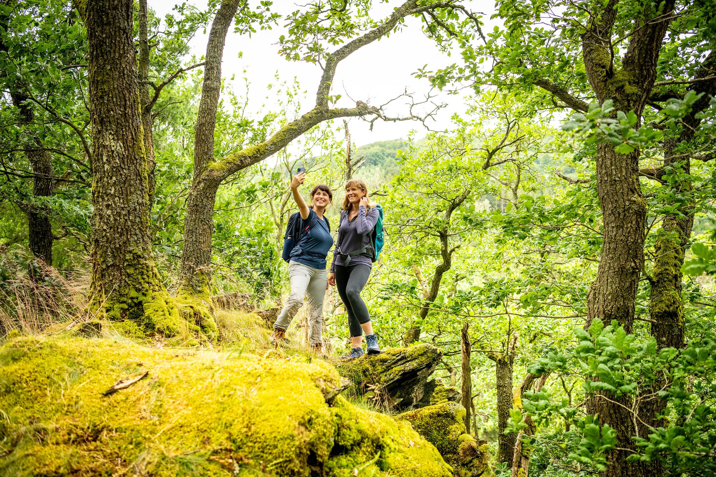
In the Eifel, every path leads you not only through breathtaking landscapes, but also through centuries of history, traces of ancient cultures and deep experiences of nature. Between volcanic rocks and gentle mountain ranges, quiet valleys and sunny juniper heaths lies your very own personal path - and you can now easily find it with the new hiking tour finder.
Whether cultural-historical, natural, sporty or meditative - each hiking route tells its own story. You decide what you want to discover: the rugged rock formations of the Devil's Gorge, the mighty reservoirs and the primeval forest of tomorrow in the Eifel National Park, the wide plateaus in the wild Islek, the powerful volcanic landscape or the rushing natural spectacle at the highest waterfall in the Eifel.
Plan individually. Experience it authentically. Immerse yourself deeply.
With just a few clicks, you can find the tour that suits your rhythm - by difficulty, length or theme.
The hiking tour finder is your compass for discovering the natural landscapes of the Eifel
Find a tour now and start hiking:
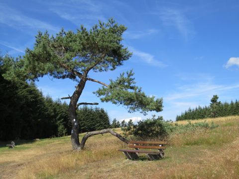
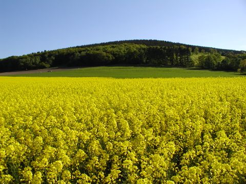
The approximately 6-kilometre circular trail offers fantastic views of the volcanic Eastern Eifel, unique juniper heaths and idyllic forests.
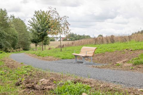


2-kilometre barrier-free path near the Daleiden retirement home
"...this hike takes hikers around the sleepy Eifel village of Obermaubach and offers beautiful views of the village with the reservoir from the heights "The "Kreuzauer Busch" hike starts and ends in Obermaubach and leads around the approx. 400 m high Bovenberg, from where there are beautiful views of the village and the reservoir. Obermaubach has almost 1000 years of history. The county of "Molbach" was first mentioned in 1152. It was named after a mill. The old German term "Mole" was derived from the Latin "molo" for mill. A moated castle, the "Castrum Molbach", probably stood near today's mill from the 12th to 17th century. The name eventually changed from Molbach to Maubach. We follow the signposts 73.
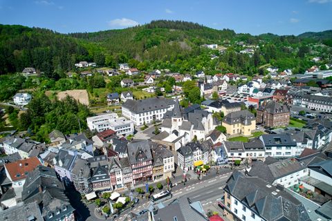
An eventful circular route (10 km) with fantastic views over the town of Adenau, the world-famous Nordschleife race track and the Hocheifel region
R Ni4 - From Aare trail 9.5 km - difficult
The varied circular tour of approx. 14 km offers tips and information about the special features around the climatic health resort of Prüm at 10 stations.
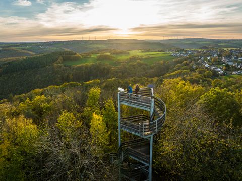
Long-distance hike / 8.8 km
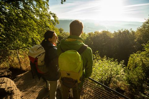
Learn about the history of this adventurous rocky landscape, discover its natural treasures - and meet the devil himself! The audio guide at the Devil's Gorge Nature Park Center is exciting, original and surprising. The unusual audio tour will delight adults, children and young people alike and can be downloaded free of charge to your own smartphone via an app.
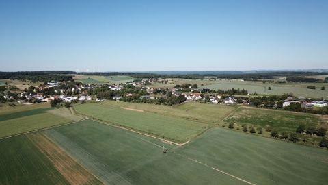
The Bitburger LandGang " Between the bushes" around Idenheim, is characterized by the two forest areas "Großbüsch" and "Wehrbüsch". Walk through the woods with your eyes open.
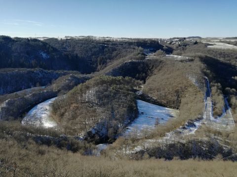
Circular hike near Lutzerath in GesundLand Vulkaneifel to the Achter Höhe viewing platform
Benefit now from the early booking advantage on many hiking and cycling tours!