Copyright: Eifel Tourismus GmbH, Dominik Ketz
Caves and Gorges in the Eifel
Fascinating Rock Landscapes Shaped by Volcanism and the Ice Age
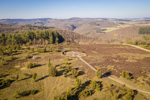
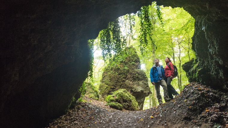
The Eifel is one of Germany’s most diverse low-mountain ranges. Shaped by volcanic activity, Ice Age processes, and millennia of erosion, it offers an impressive variety of rocks, gorges, and caves. Narrow rock crevices, moss-covered gorge forests, mysterious cave chambers, and towering rock formations make the region a unique natural experience—for hikers, families, and nature lovers alike.
Formation of the Rock and Gorge Landscape
The Eifel’s current landscape is the result of various geological processes. In the Volcanic Eifel, basalt domes, lava rocks, and tuff bear witness to the region’s volcanic past. In other parts, particularly in the Southern Eifel, sandstone and limestone formations dominate the landscape.
Many gorges were formed by the interaction of water, frost, and rock: During the last Ice Age, the freeze-thaw cycle shattered sections of rock, while streams cut deeply into the rock, forming narrow V-shaped valleys and canyon-like gorges. This gave rise to impressive rocky landscapes with narrow crevices, steep walls, and valley floors strewn with boulders.
Impressions
Copyright: Eifel Tourismus GmbH, Dominik Ketz Copyright: Eifel Tourismus GmbH, Dominik Ketz Copyright: Eifel Tourismus GmbH, Dominik Ketz Copyright: Eifel Tourismus GmbH, Dominik Ketz Copyright: Eifel Tourismus GmbH, Dominik Ketz Copyright: Eifel Tourismus GmbH, Dominik Ketz Copyright: Eifel Tourismus GmbH, Dominik Ketz Copyright: Eifel Tourismus GmbH, Dominik Ketz Copyright: Eifel Tourismus GmbH, Dominik Ketz
Exploring Gorges and Cliffs
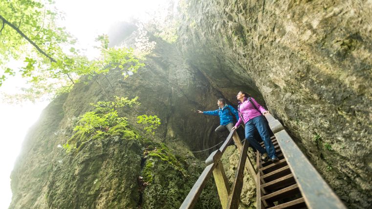
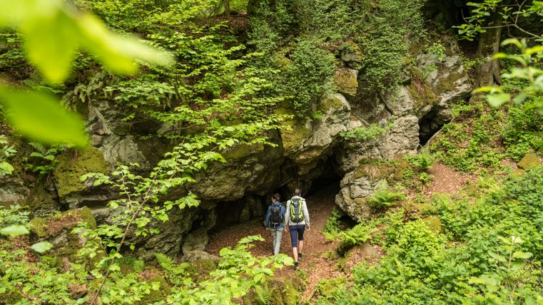
Rugged cliffs and narrow gorges make the Eifel a fascinating natural wonder. Shaped by volcanic activity, the Ice Age, and thousands of years of erosion, impressive rocky landscapes await you—from the spectacular Teufelsschlucht to striking dolomite and sandstone formations.
6 results
"Teufelsschlucht" (Devil's Gorge)
ErnzenOpen today
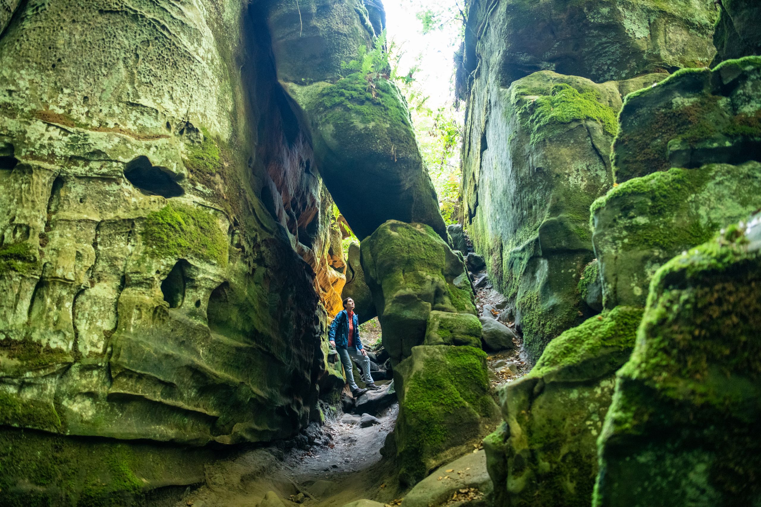
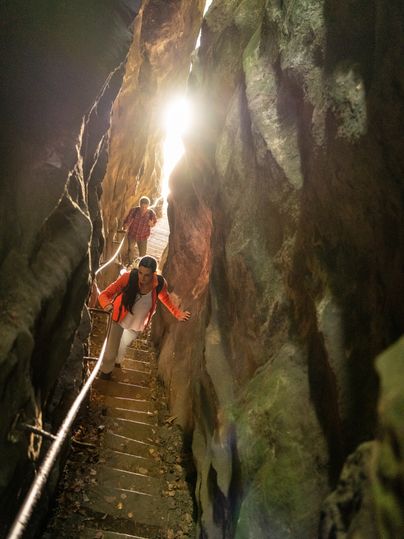
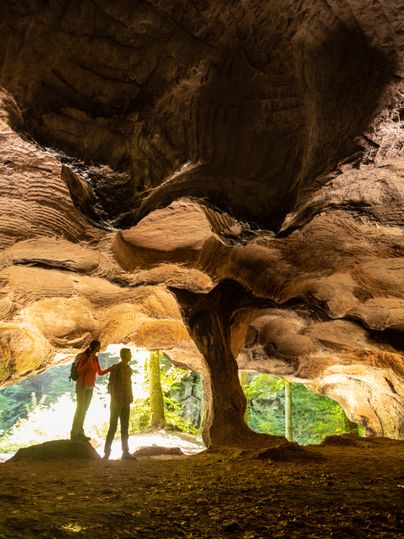
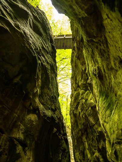
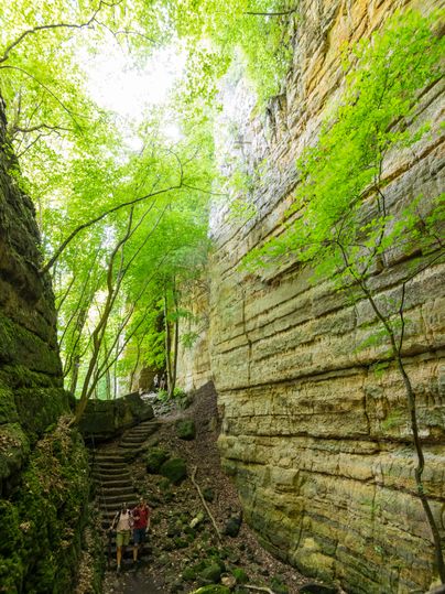
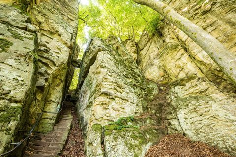
A natural monument of extraordinary fascination: a narrow gorge with metre-high rock faces, cool and dark. Cracks and crevices, weathered and overgrown with mosses and lichens. Anyone walking through this eye of a needle in the sandstone is walking through a 200-million-year-old seabed that harbours many secrets.
"Irreler Wasserfälle" (Waterfalls of Irrel)
IrrelOpen today
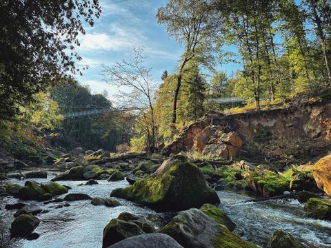
The rapids of the Prüm, known as the "Irrel Waterfalls", remain a fascinating natural spectacle even after the flood disaster of 2021. Crossing the river is once again possible via the new suspension bridge.
Gerolsteiner Dolomiten
GerolsteinOpen today
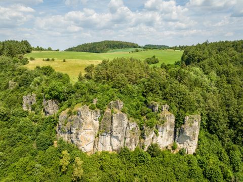
The rocks “Hustley”, “Munterley”, “Drohende Ley”, “Große Kanzel” and “Auberg” shape the cityscape from afar and form Gerolstein’s landmark. The most famous peak of the Gerolstein Dolomites is the "Munterley" - with an altitude of 482 meters.
Roter Puhl
MettendorfOpen today
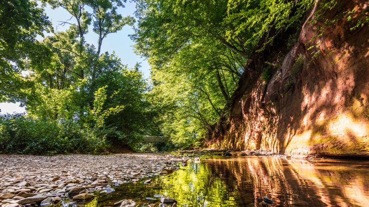
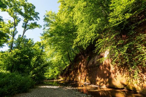
At the "Roter Puhl", the red sandstone slope on the Enz, the natural landscape presents itself in particularly impressive orange-glowing colours.
Schweineställe
ErnzenOpen today
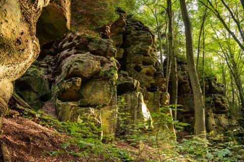
A ravine called the "pigsty"? A strange name. But you can actually meet cheerful pigs here - and a mysterious, possibly millennia-old inscription!
Katzensteine
MechernichOpen today
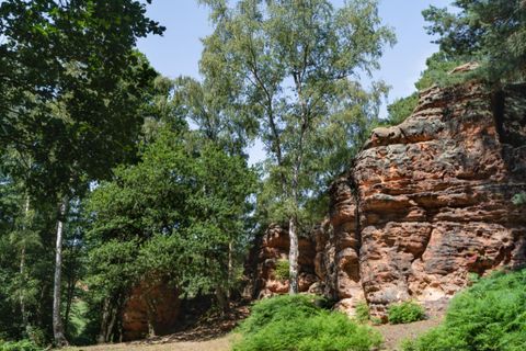
In the "Mechernich Forest", which extends from the eastern city limits of Mechernich to Satzvey, the Katzensteine rise on the border with the Veybachaue near Katzvey.
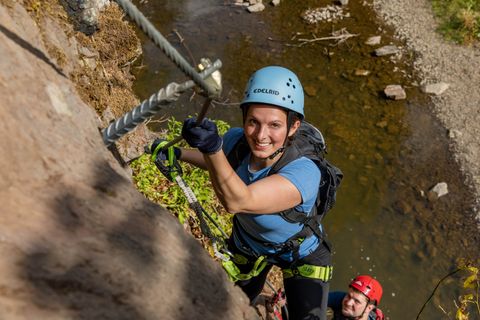
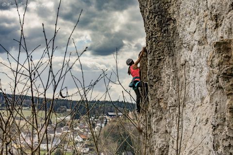
Explore Caves
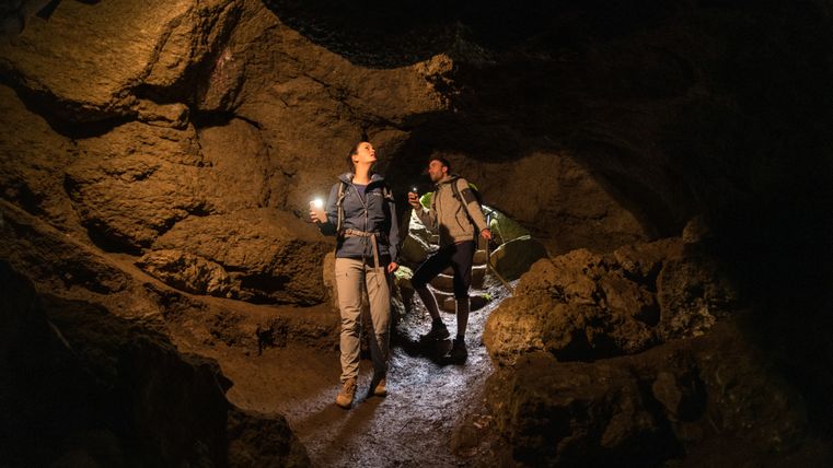
The caves of the Eifel tell the story of volcanism, geological history, and thousands of years of human use. Unlike traditional stalactite cave regions, the Eifel is best known for its caves formed by basalt and millstone quarrying, though there are also natural limestone and dolomite caves such as the Kakushöhle and the Buchenlochhöhle.
12 results
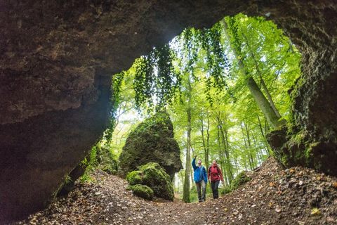
Birresborner Eishöhlen
Birresbornclosed today
Until far into the 19th century millstone were carved out in the caves. But the caves also were used as natural "refrigerators". In the winter time they were equipped with ice and snow so that cooling conditions kept the cold far into the summer.
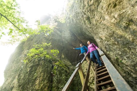
Buchenlochhöhle
GerolsteinOpen today
The Buchenlochhöhle is located in the nature reserve of the Gerolstein Dolomites. The cave was washed out of the rock millions of years ago by the dissolving power of groundwater and is open all year round.
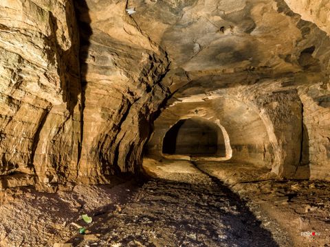
Eiskeller
HillesheimThis ''Eiskeller'' served as a refrigerator for the Hillesheimer beer breweries.
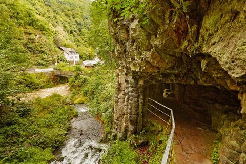
Elfengrotte (Käsegrotte)
Bad BertrichOpen today
Discover a small natural monument of a special kind on the outskirts of Bad Bertrich: the “Elfengrotte”, also called “Käsegrotte”. It originated a thousand years ago, when hot basalt currents flowed through the Üssbach valley and gave the valley a new shape. Located not far from the rushing Elbesbach waterfall, the Elfengrotte has a fairy-tale magic that you should explore.
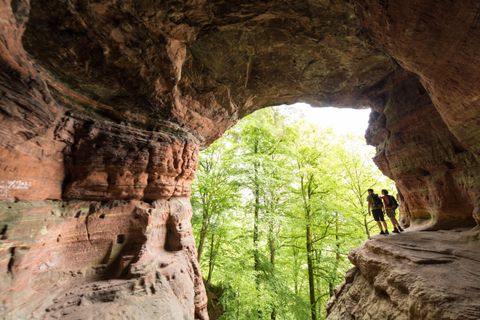
Genoveva cave
KordelOpen today
Near the Kyll Valley lies the imposing and legendary Genoveva Cave. The premium hiking trails Eifelsteig and Römerpfad guide hikers to this spot in the middle of an enchanted forest. Over millions of years, the forces of nature carved the shell-shaped cave out of the massive rock. Since the Stone Age, it has offered people shelter from the elements and wild animals. According to legend, Genoveva, the doomed wife of Count Palatine Siegried, also found a safe hiding place here for many years.
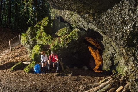
Hochstein mit Genovevahöhle
MendigOpen today
The 563m high mountain makes the heart of every nature lover beat faster. Below the summit you can find the legendary Genoveva Cave.
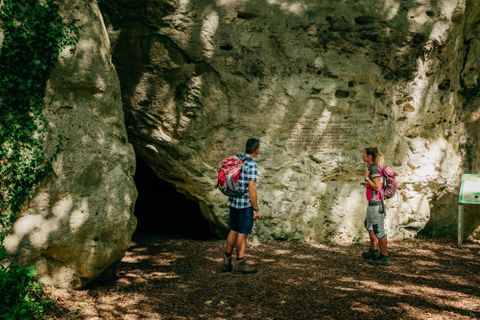
Kakushöhle
MechernichOpen today
Traces of settlement at the prehistoric Kakushöhle between Eiserfey and Weyer date back to 80,000 BC. Hunter-gatherer groups of the Neanderthals left behind numerous stone implements of the Middle Palaeolithic epochs and animal bones.
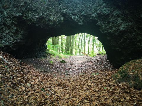
Lavagrotte Ernstberg
HinterweilerOpen today
The Ernstberg cave is a testimony to volcanism in the Eifel region
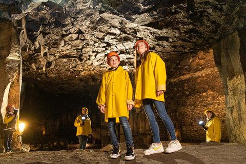
Lavakeller – Einmalige Landschaft in der Tiefe
MendigOpen today
There are many steps leading deep down below the town of Mendig: Here in the lava cellars, in the middle of the cooled volcanic rock, it is consistently cold even in the hottest summers, there is a mysterious dim light, there is the smell of moisture. Up to 28 Mendig breweries used the 32-metre-high, cathedral-like halls in the basalt rock to store fresh beer. Mighty pillars, left standing during centuries of basalt and lava mining, support the gigantic cellars. A guided tour through the cellars is an unforgettable aha experience. The Vulkan Brewery in Mendig, which is located above the cellars, still uses this unique cold storage facility today. The Lava Dome as a multimedia museum shows many more exciting facets of volcanism.
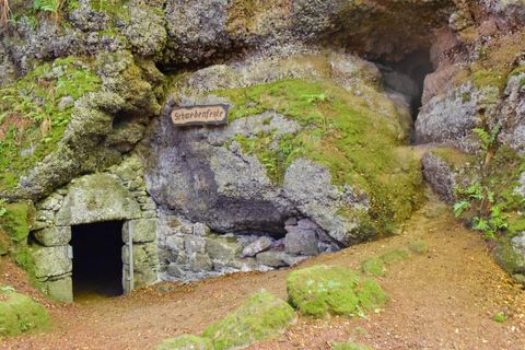
Mühlsteinhöhlen Hohenfels-Essingen
Hohenfels-EssingenOpen today
The three caves are located at Mühlenberg, north of Hohenfels-Essingen.
Do you have any more questions?
Among the best-known rocky regions are the Südeifel rock formations, including the Teufelsschlucht, the Katzensteine near Mechernich, and the dolomite cliffs in the Gerolstein region.
The Devil's Gorge near Ernzen is a rock crevice up to 28 m deep, featuring narrow passages, high sandstone walls, and bizarre weathering formations. It was formed, among other things, by freeze-thaw processes at the end of the last Ice Age, about 12,000 years ago.
The Eifel region is primarily composed of slate, greywacke, limestone, dolomite, quartzite, and volcanic rocks such as basalt and tuff.
Yes, many of the hiking trails in the NaturWanderPark delux are characterized by rocky terrain.
Whether you combine it with a hike or just go on a day trip, there are many caves to explore in the Eifel.