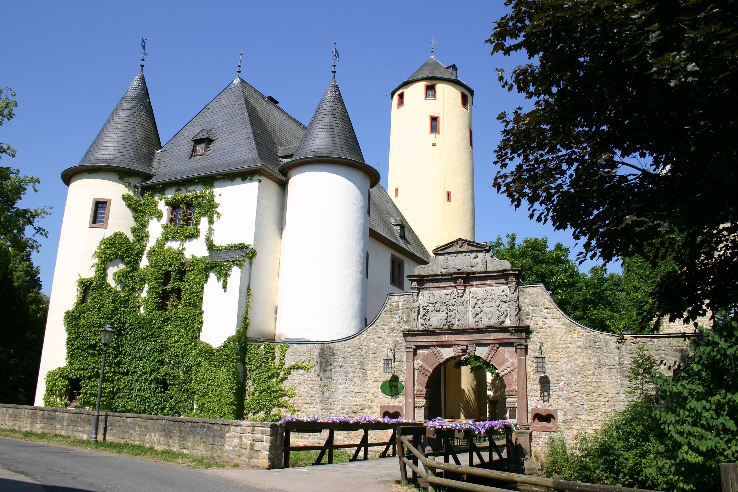
Copyright: Frank Schaal
South Eifel Nature Park Hiking Trail No. 79 - Rittersdorf
Type of tour:Hiking
-Difficulty:moderate, moderately difficult
Length11.7 km
Ascent180 hm
Descent180 hm
Elevation profile
StartParkplatz Burg Rittersdorf
DestinationParkplatz Burg Rittersdorf
Description
The approximately 12-km-long loop trail in the Südeifel Nature Park connects the municipalities of Rittersdorf, Hermesdorf, and Wiersdorf. The trail winds through plateaus and the Bitburger Gutland region.
This circular hiking trail in the Südeifel Nature Park connects the municipalities of Rittersdorf, Wißmannsdorf-Hermesdorf, and Wiersdorf.
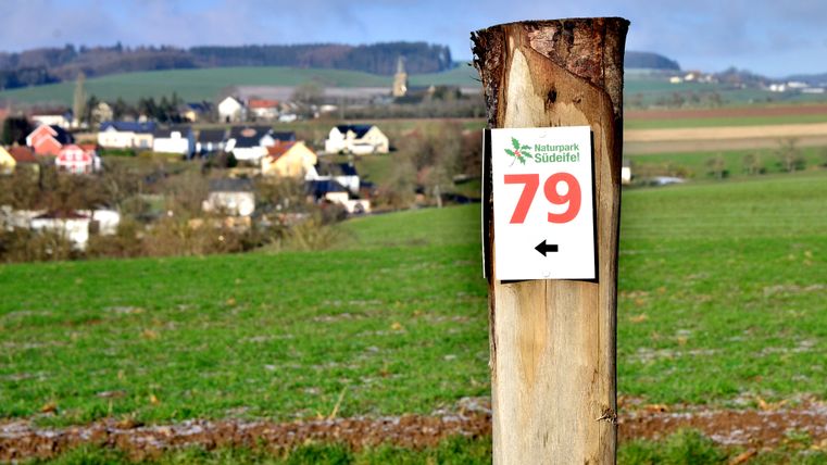
We recommend starting the hike at the Rittersdorf Castle parking lot. The trail is marked in both directions, so you can hike it without a map. The trail leads through the Bitburger Gutland.
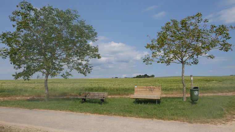
There are benches and a shelter where you can take a break. Several restaurants and cafes are located along the route.
Directions to “
”
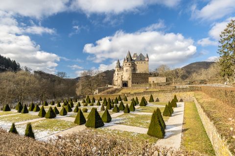
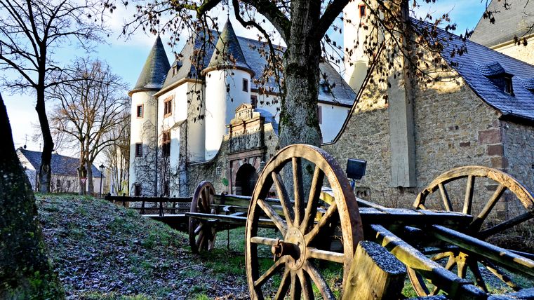
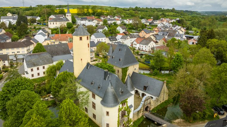
Circular Hiking Trail No. 79 in Rittersdorf connects the local communities of Rittersdorf, Wiersdorf, and Hermesdorf. Rittersdorf Castle is a good starting point for this approximately 12-km hike.
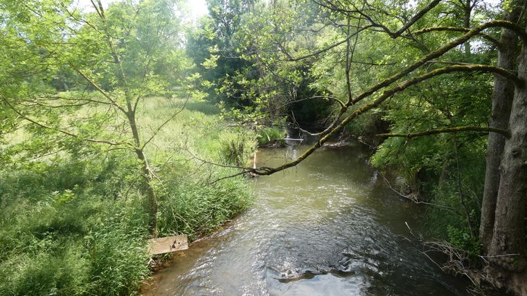
The circular hiking trail is signposted from both directions, so hikers can choose which way to go. Our hike heads right from the castle, and we cross a bridge over the calm waters of the Nims, a tributary of the Prüm. We head down Waxweiler Straße, then take a flight of stairs past St. Martin’s Parish Church. Continuing along Waxweiler Straße, we reach a dirt road. Here, you’ll get your first glimpse of the Bitburger Gutland, which consists of vast fields and meadows dotted with scattered fruit trees. Here and there along the trail, hikers will spot rosehip bushes and blackthorns. After just a short while, you’ll enjoy a fantastic panoramic view, including a glimpse of the village of Nattenheim. The trail continues across the plateau, which offers beautiful panoramic views time and again. In the distance, you can see mixed forests, valleys, and hills. After crossing a road, the trail descends gently into the valley.
The Bitburger Gutland, with its meadows and fields, comes into view again along the trail. Time and again, you’ll enjoy expansive open spaces.
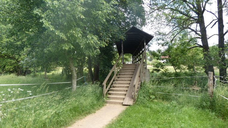
A shelter, about 1 km from Wiersdorf, makes for a good rest stop. We follow the dirt road. In the distance, you can see the houses of the village of Biersdorf am See, as well as the tower of St. Martin’s Church. The cawing of the ravens accompanies our steps. To the left, you can see the Bitburger Land Golf Resort. Follow the L7 for a short distance; before the intersection leading to Hermesdorf, trail marker No. 79 points left onto a farm road. The golf course stretches out on both sides of the path. With a little luck, you might spot a hare hopping quickly across the meadow into a bush. After passing the expansive golf course, fields and meadows reappear along the trail. From the plateau, you can once again enjoy a magnificent panoramic view, and after a few meters, you’ll see the silhouette of the town of Bitburg on the horizon. A bench invites you to take a break. The trail winds past the meadows and fields where horses and Zackel sheep, with their impressively twisted horns, graze, accompanied by the soothing murmur of the Nims River. Crossing a wooden bridge, we reach Auf Hasselt Street and then Bitburger Street, which leads us back to our starting point.
Impressions
Further information

Round trip
Tourist-Information Bitburger Land
Römermauer 6
54634 Bitburg