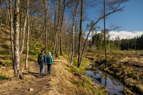
Tranchot-Karte: den Kirchweg im Gelände erkennen
RoetgenOpen today
Station on the Old Church Path
Station on the Old Church Path
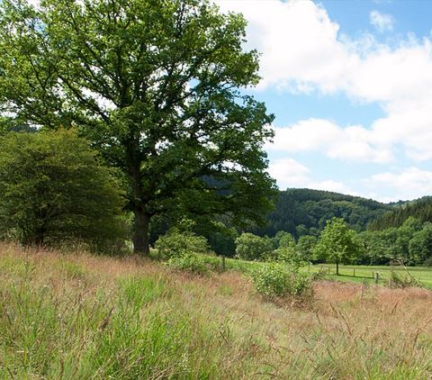
The trail leads along the Geichlinger Bach up the valley over the Schandenhügel to Lahr, follows the Lahrer Bach to Hüttingen and then the Notzenbach to Kewenig Castle and Niedersgegen.
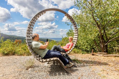
Rest area on the Meuchelberg

In the Old Town Hall, which was built in 1652 in renaissance style, there is now the city gallery of art and the cultural office.
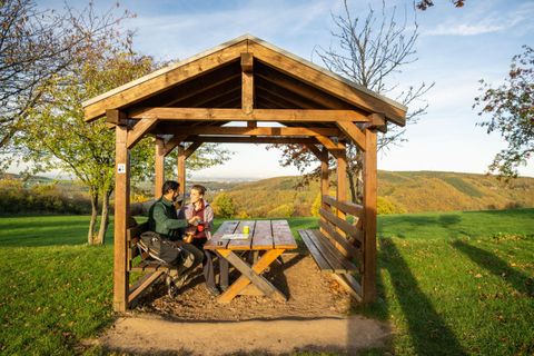
Rest area at the "Burgberg"
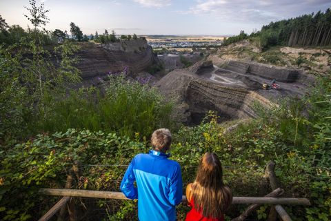
The Eppelsberg offers a unique window into the volcanic history of the Eastern Eifel as well as deep insights into the structure of a cinder block gel volcano.
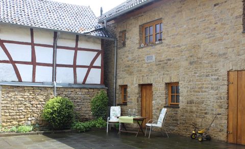
Our two-storey non-smoking vacation home is located in the center of Weyer and offers accommodation for up to 7 people. As a district of the town of Mechernich, the village of Weyer borders on the municipality of Nettersheim and is located approx. 2 km from the junction of the A1 highway, exit 113. At 525 m above sea level, the Brehberg is the highest point in the town area. Hikers can enjoy the adjacent Eifelsteig trail and the Kakushöhle circular hiking trail, among many other options.
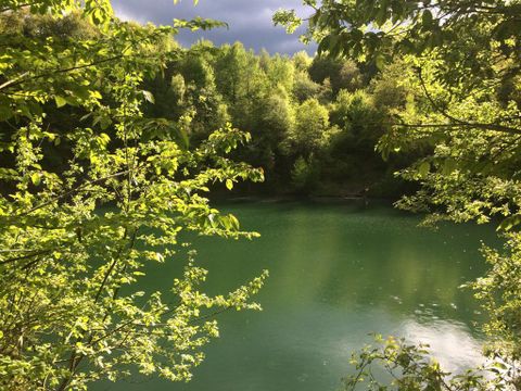
Basaltic lava quarry filled with groundwater, with a size of about one hectare and a water depth of up to 30 m.
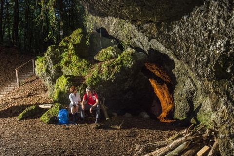
The 563m high mountain makes the heart of every nature lover beat faster. Below the summit you can find the legendary Genoveva Cave.
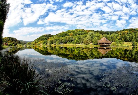
Since September 2018, the Geo-Route R themed hiking trail has been available in and around the Eifel village of Rieden, offering a wide range of interesting things for hiking, nature and volcano/geology enthusiasts. The approx. 23 km long overall tour can also be hiked in individual sections and other extra tours complement the signposted route, which is equipped with information boards.