Copyright: Kappest
"Stufenweise" Wanderspaß vom Rhein bis zur Hohen Acht
✔Distance hike ✔5 days ✔3 stages ✔approx. 55 km ✔great views of the Rhine Valley and Eifel
Up even higher on the EIFELLEITER
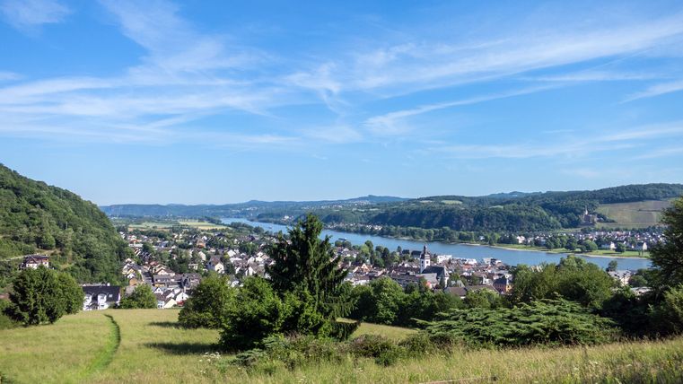
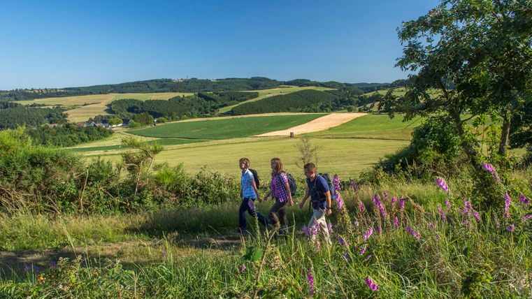
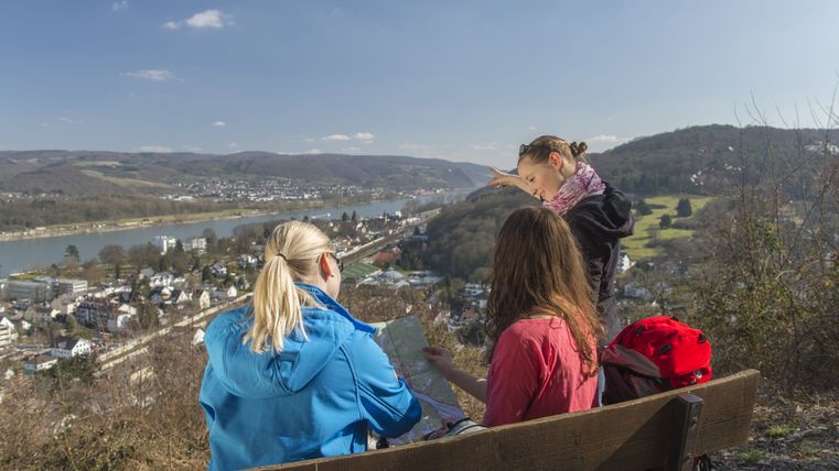
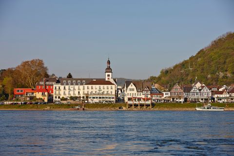
From the Rhine Valley up to the Hohe Acht, the highest mountain in the Eifel: a total of 1400 meters in altitude have to be overcome on the EIFELLEITER premium hiking trail. Three stages full of impressions of nature and breathtaking views lieahead of the hikers. One last stroll along the Rhine promenade in Bad Breisig and then the high-altitude adventure in the Eifel awaits. Step by step, the route first takes you through the Mönchsheide - don't forget to look back at the Rhine valley!
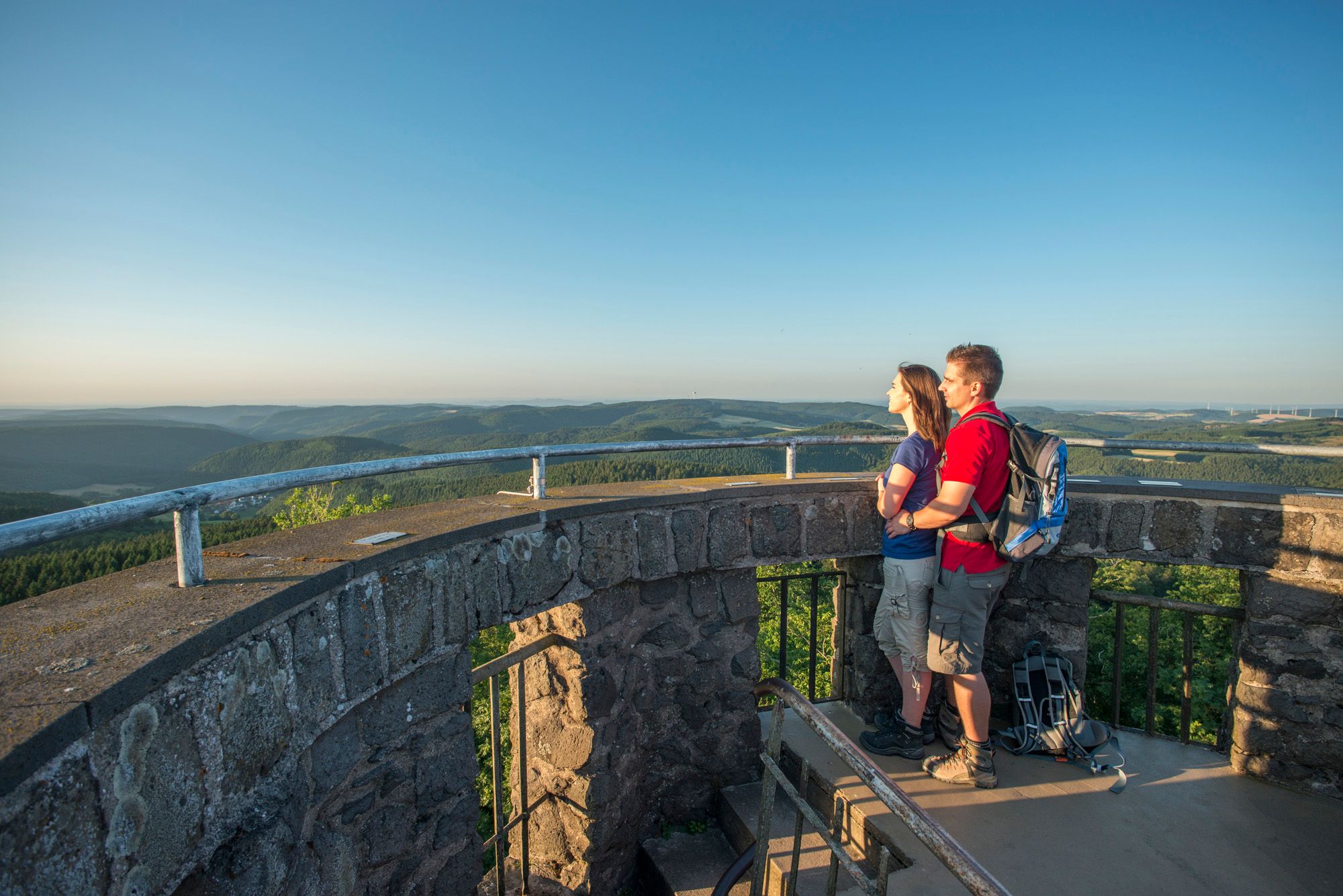
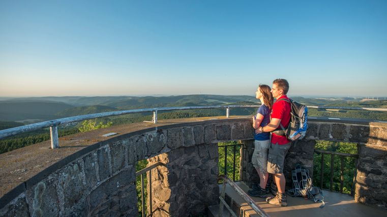
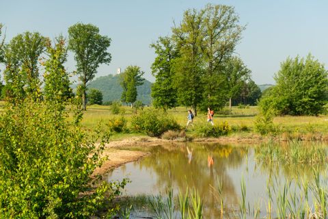
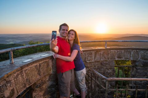
The EIFELLEITER continues to be climbed, the path leads to lofty heights, but your feet remain connected to the earth, feeling the power of the volcanic past.Past the Bausenberg horseshoe crater and the Rodder Maar, along old Roman paths through the Steinrausch adventure forest and on the last stage, the Hohe Acht awaits the arrival of hikers. Imposing rock formations will amaze you. The view from the Kaiser Wilhelm Tower high up on the highest point in the Eifel makes up for all the effort during the ascents. The trail then continues downhill along the Eifel ladder to the lively little town of Adenau.
Note: Offer not bookable on long weekends due to public holidays/major events at the Nürburgring
Organizer: Tourist Information Volcanic Region Laacher See
Impressions

Travel itinerary
Day 1: Arrival
- Arrival in Bad Breisig
- Overnight stay
Day 2: Bad Breisig - Niederzissen
- Hike from Bad Breisig to Niederzissen (15.7 km - approx. 4 hours)
- Overnight stay
Copyright: Marco Rothbrust HikingEifelleiter Section 1
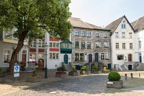
Bad BreisigDistance:15.7 km Duration:6:22 h Difficulty:MediumThis 53 km tour is a delight for all walkers wanting to explore three different landscapes of the Eifel Mountains. The Rhine Valley, the fiery volcanic region of the Brohltal and over the Eifel’s highest summit, the Hohe Acht to then reach the beautiful town of Adenau as a grand finale.
Day 3: Niederzissen - Spessart
- Hike EIFELLEITER, stage 2
- from Niederzissen to Spessart (16.7 km - approx. 6 hours)
- Overnight stay
Copyright: Eifel Tourismus GmbH, D. Ketz HikingEifelleiter Section 2
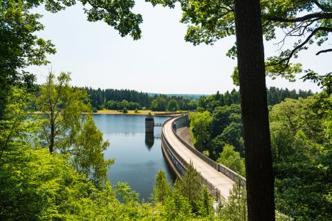
NiederzissenDistance:15.2 km Duration:4:06 h Difficulty:MediumThe second section starts in the scenic expanses of the Brohltal, featuring beautiful views of medieval Olbrück Castle and two true spectacles of nature: the Rodder Maar and Lake Königssee. Want to go for a little detour? A round of swingolf, the golf sport for everyone, will feel like a pleasant slowdown in front of a gorgeous backdrop.
Day 4: Spessart - Adenau
- Hike from Spessart to Adenau (21.7 km - approx. 6 hours)
- Overnight stay
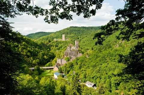
Copyright: Kappest_VG_Adenau HikingEifelleiter Section 3
KempenichDistance:22.0 km Difficulty:DifficultThe final section first takes you to the dreamy forest adventure trail of Erlebniswald Steinrausch, close to Kempenich. The conquerors of the Eifelleiter then continue through small Eifel towns such as Lederbach and Hohenleimbach before heading up over the Eifel’s highest peak, the Hohe Acht, and taking aim at their tour destination: the town of Adenau.
Day 5: Journey home
- Breakfast & journey home
Further information
- 4 x overnight stay in a double room with shower/WC incl. breakfast buffet
- Admission to the Römer-Thermen in Bad Breisig
- 3 x packed lunch
- 3 x luggage transfer
- EIFELLEITER information material and route description
With a specific offer, we will provide you with a list of places to stop for a bite to eat. In some cases it is also possible to eat in the hotel.
The combination of travel services offered to you is a package tour within the meaning of Directive (EU) 2015/2302.
You can therefore make use of all EU rights that apply to package travel. Information on your main rights under Directive (EU) 2015/2302.
- Double room per person from 359,00 EUR
- Single room supplement from 94,00 EUR
Offer not bookable on long weekends due to public holidays/major events at the Nürburgring
- 1/1/26 to 12/31/26
Tourist-Info Maria Laach
Maria Laach 8
56653 Maria Laach
Request a quote
You can request the offer ""Stufenweise" Wanderspaß vom Rhein bis zur Hohen Acht " from the provider Tourist-Info Maria Laach here.
January 1, 2026 to December 31, 2026