Römischer Bergbau
Stolberg
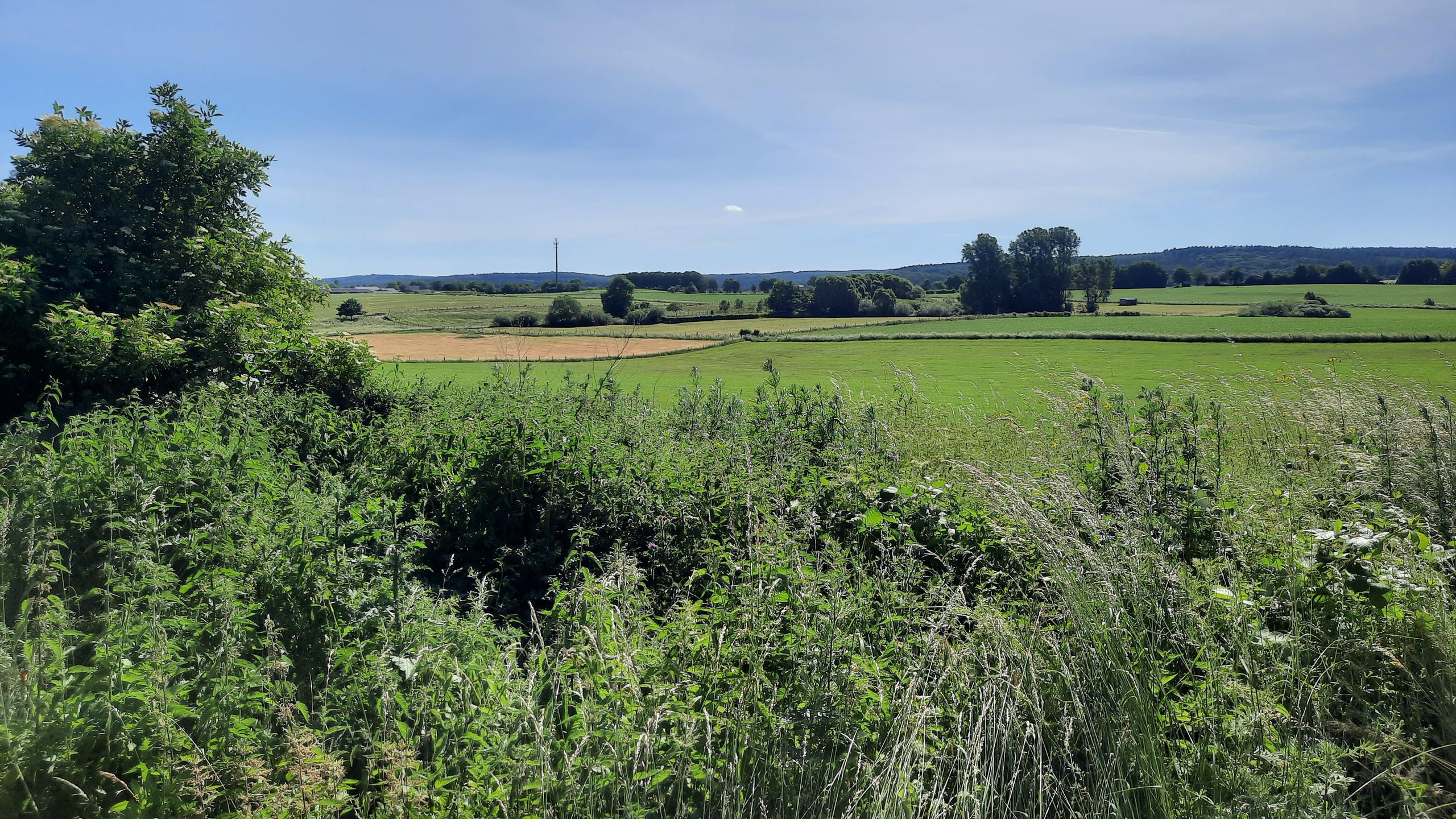
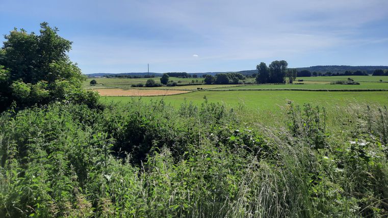
Between the parcels “Grunsenbruch” (a group of trees with ponds on the right), “Bovenheck” (Gressenich sports field on the left) and the quarry, several sites of Roman settlement have been discovered, suggesting the presence of a center for Roman mining and smelting.
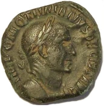
The two ponds in “Grunsenbruch” are the flooded pits from Roman mining operations. A striking number of iron and heavy-metal slags have been found among the scattered debris. During excavation work in the neighboring “Schieverling” field in the 19th century, miners from the Diepenlinchen mine found the remains of old wheel-shaped shafts as well as Roman coins and other artifacts.
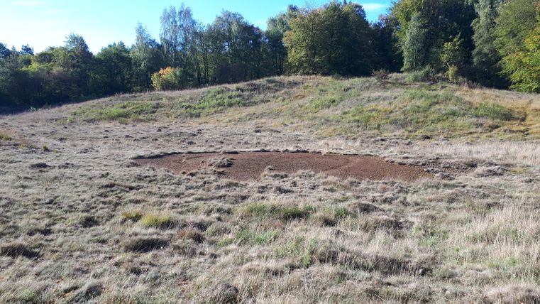
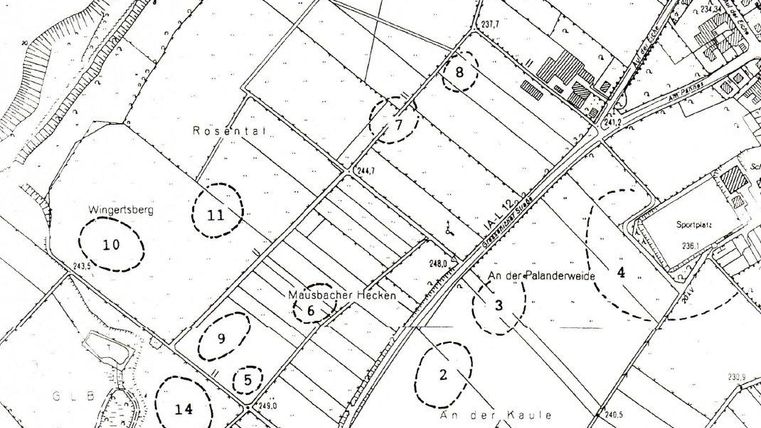
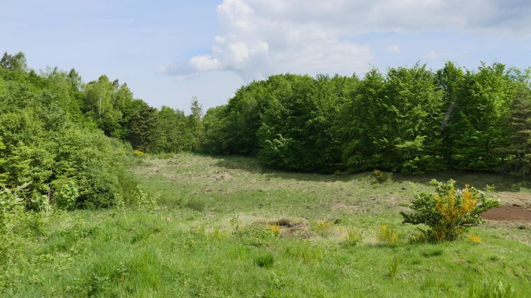
The numerous pottery shards found among the slag remains—particularly in the “Mausbacher Hecken” area—were identified by the Rhineland Regional Council (LVR) as being of Roman origin from the 1st to 4th centuries. Ancient mining appears to have focused primarily on iron ore, lead, and probably also calamine, although calamine smelting does not produce slag residues. Together with copper, the Romans used these materials to produce brass, which was highly valued. For example, starting in the reign of Emperor Augustus (63 B.C. to A.D. 14), sesterces were minted from this alloy. However, an area located on the Werther Heide appears to have been a calamine smelting site, as a circular spot there is completely devoid of vegetation and features lush calamine flora along its edges.
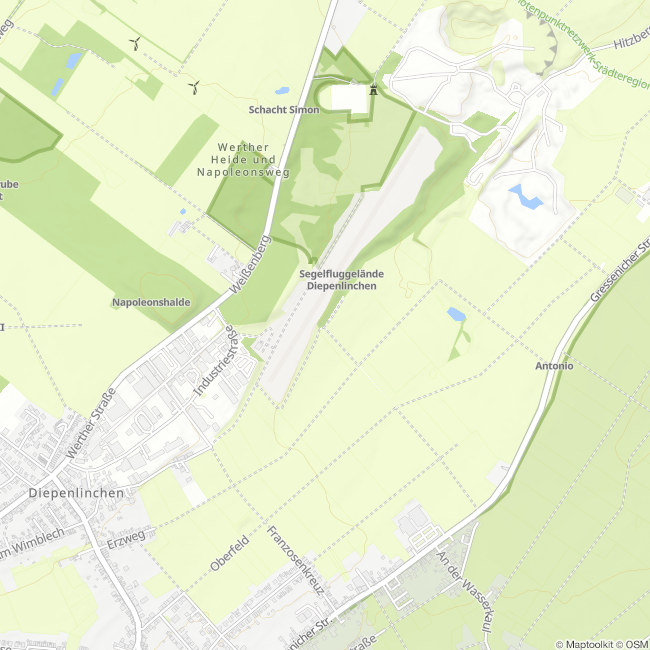
The age of the site has not been determined, but this method of galmei calcination was practiced from antiquity through the early 19th century. The map shows the areas where scattered debris, bricks, slag, and shards were found.
Burning (Calcination) of Calamine: The burning of calamine was essential for its further processing into brass. In this process, zinc carbonate is oxidized into zinc oxide and carbon dioxide (ZnCO₃ → ZnO + CO₂).
In its simplest form, a circular area approximately 40 meters in diameter is lined with bundles of brushwood, charcoal, or wood to a height of about one meter, upon which a dense layer of galena chunks is then placed. The resulting “pile” is burned.
This produces “calcined galena,” which is ground and processed with copper to make brass. Residual concentrations of zinc, lead, and cadmium remain at the burning site.
(Text: Jens Mieckley)
This route was developed as part of the LEADER-funded project “Quality Initiative for Hiking in Roetgen and Stolberg” with support from the European Union (EAFRD) and the state of North Rhine-Westphalia.
Impressions
Contact
Montanhistorischer Rundweg
52224 Stolberg