
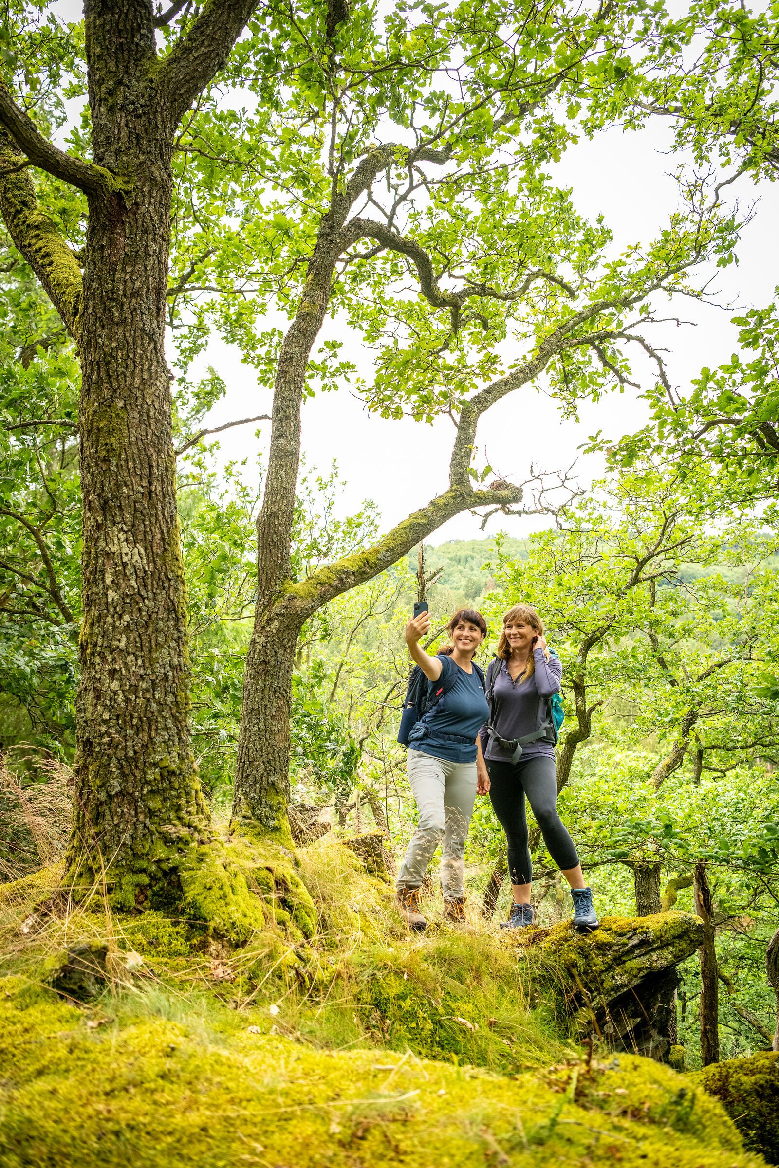
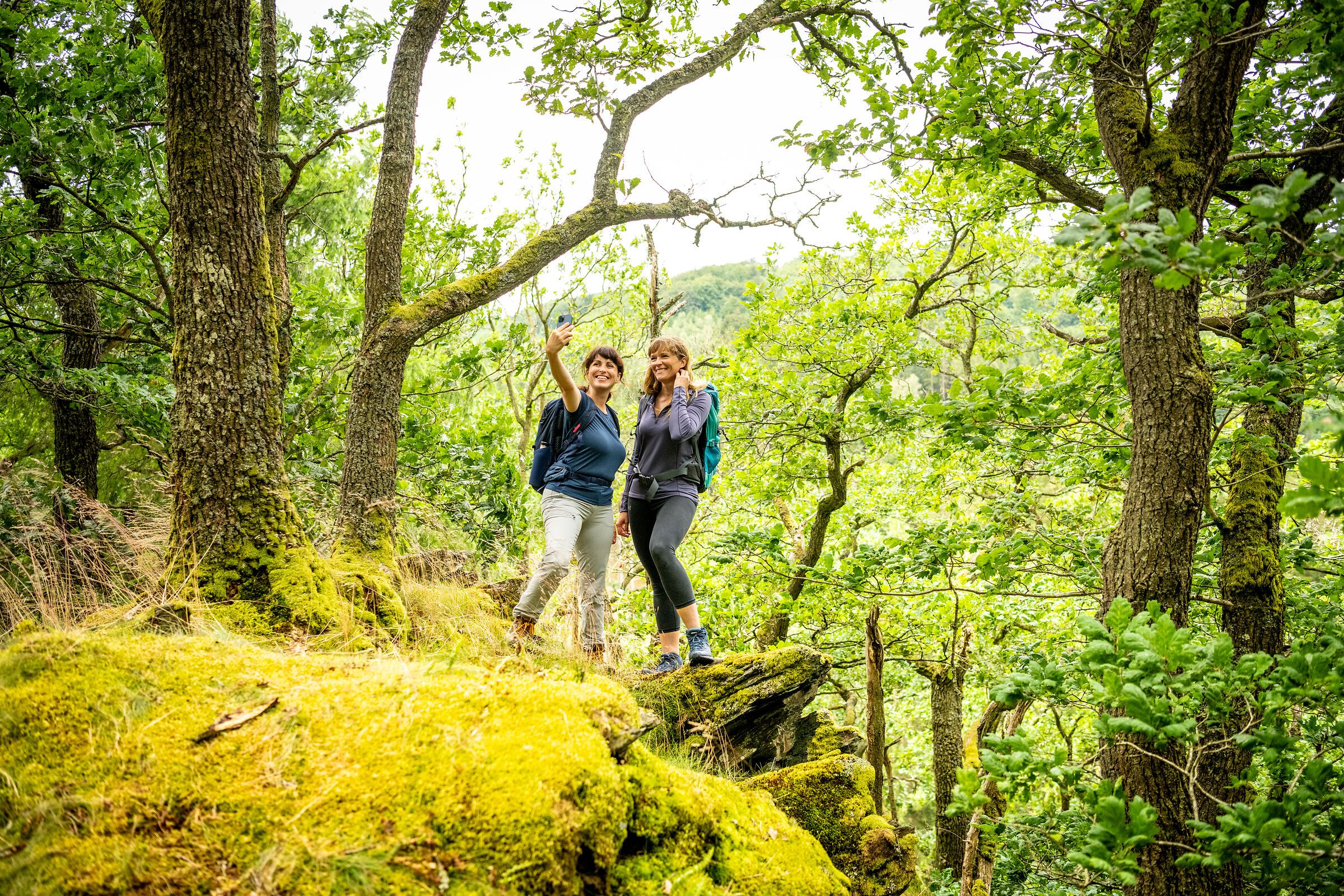
In the Eifel, every path leads you not only through breathtaking landscapes, but also through centuries of history, traces of ancient cultures and deep experiences of nature. Between volcanic rocks and gentle mountain ranges, quiet valleys and sunny juniper heaths lies your very own personal path - and you can now easily find it with the new hiking tour finder.
Whether cultural-historical, natural, sporty or meditative - each hiking route tells its own story. You decide what you want to discover: the rugged rock formations of the Devil's Gorge, the mighty reservoirs and the primeval forest of tomorrow in the Eifel National Park, the wide plateaus in the wild Islek, the powerful volcanic landscape or the rushing natural spectacle at the highest waterfall in the Eifel.
Plan individually. Experience it authentically. Immerse yourself deeply.
With just a few clicks, you can find the tour that suits your rhythm - by difficulty, length or theme.
The hiking tour finder is your compass for discovering the natural landscapes of the Eifel
Find a tour now and start hiking:
The circular route is tarred on one section, the rest of the way is natural. It is possible to use a wheelchair from the kiosk to the dam wall, along the Dorint Hotel. This route is the smallest of the 3 Nordic Walking trails at the Bitburg reservoir and leads once around the Bitburg reservoir.
They are spread all over the Bitburger Land: the hiking and walking trails of the Bitburger LandGänge. From 2 to 8 kilometers, from easy to difficult, there is the right trail for every taste.
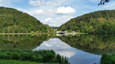
Middle route of the Nordic Walking Fitness Park in Biersdorf am See.
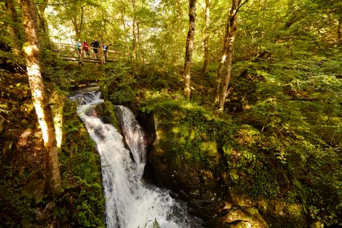
A hike through the wild and romantic Wilde Endert valley (from Ulmen to Cochem) offers a unique and pristine natural experience.
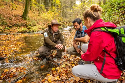
Circular trail - 5.9 km - from the Rothe Kreuz parking lot in Höfen
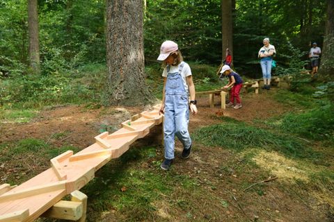
The brand new nature trail with a forest ball track in Gerolstein's municipal forest offers fun for the whole family. Nine stations along the circular trail encourage visitors of all ages to explore, learn and play in the forest.
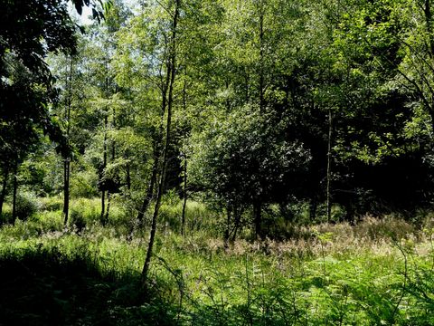
Circular trail - 9.8 km - from the hiking parking lot at the memorial in Imgenbroich
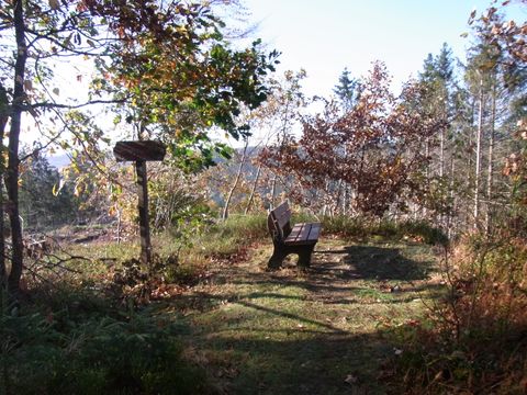
The deeply carved valley of the Weiße Wehe gives this hiking trail its name. The starting point is the "Zum Alten Forsthaus" hotel in Vossenack. The Wehebach originates from the confluence of the "Roter Wehe" and "Weißer Wehe" rivers. In 1981, six Polish beavers were settled in the Weiße Wehe valley. Until the 19th century, the rodents were hunted for their fur, declared fish by the Pope, eaten during Lent and used as an aphrodisiac. The consequence was their almost complete extinction. Today, the Eifel population is once again estimated at 200 to 250 animals. Guided hikes follow the tracks of the beaver. We follow hiking trail no. 46 .
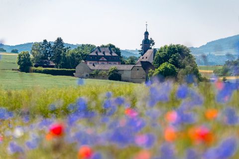
RKru2 - Fraukircher Weg 9.5 km
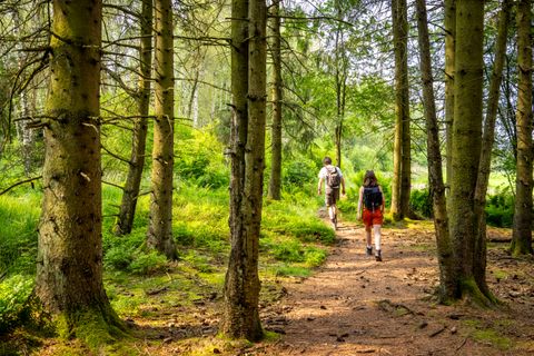
Circular trail - 3.7 km - from the Belgenbachtal hiking parking lot