
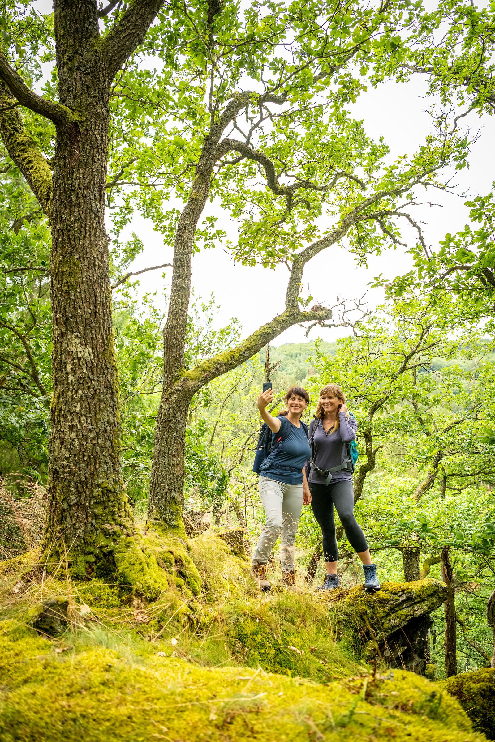
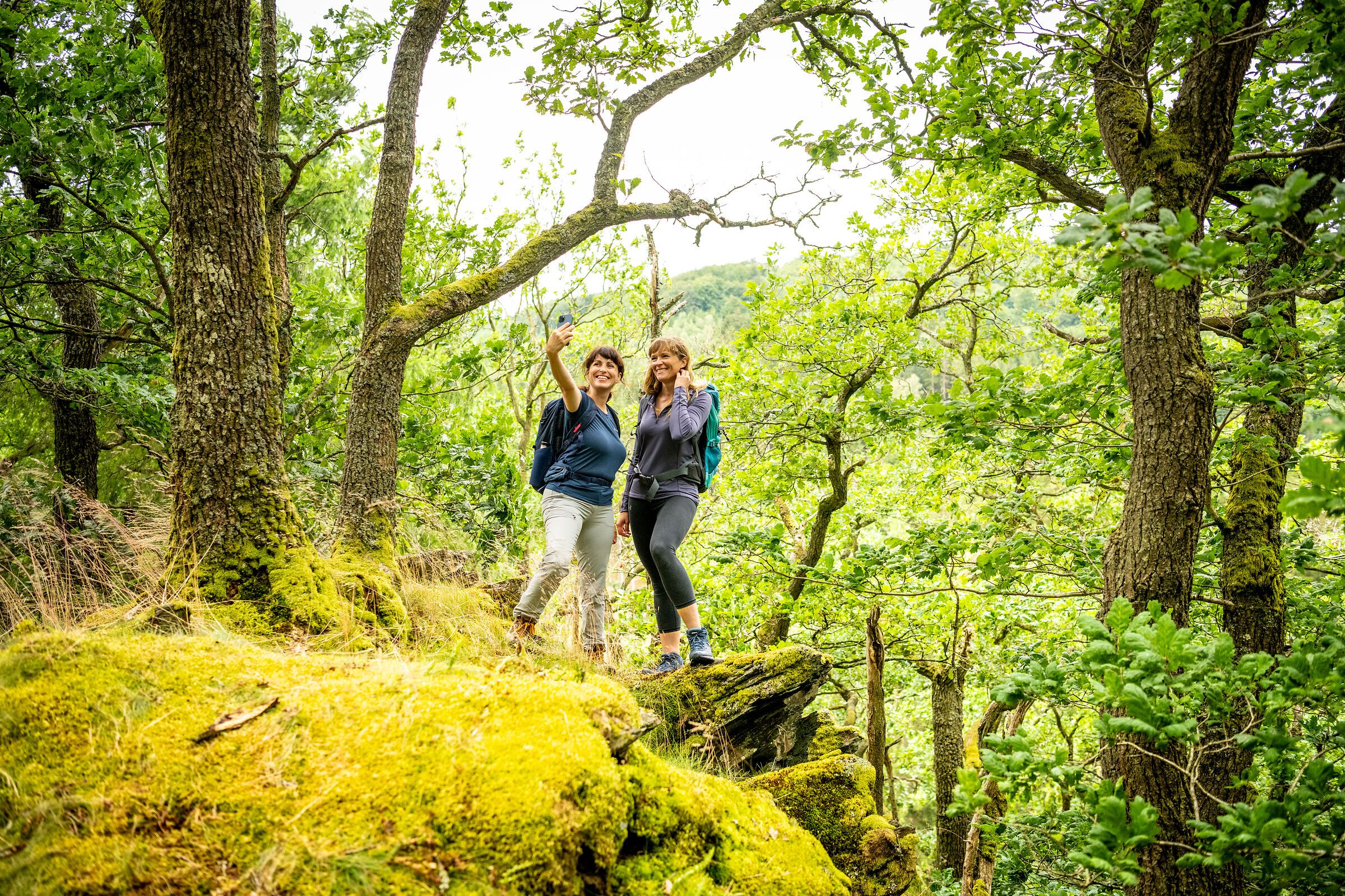
In the Eifel, every path leads you not only through breathtaking landscapes, but also through centuries of history, traces of ancient cultures and deep experiences of nature. Between volcanic rocks and gentle mountain ranges, quiet valleys and sunny juniper heaths lies your very own personal path - and you can now easily find it with the new hiking tour finder.
Whether cultural-historical, natural, sporty or meditative - each hiking route tells its own story. You decide what you want to discover: the rugged rock formations of the Devil's Gorge, the mighty reservoirs and the primeval forest of tomorrow in the Eifel National Park, the wide plateaus in the wild Islek, the powerful volcanic landscape or the rushing natural spectacle at the highest waterfall in the Eifel.
Plan individually. Experience it authentically. Immerse yourself deeply.
With just a few clicks, you can find the tour that suits your rhythm - by difficulty, length or theme.
The hiking tour finder is your compass for discovering the natural landscapes of the Eifel
Find a tour now and start hiking:
Length: approx. 6.5 kilometers Duration: approx. 2.5 hours Difference in altitude: approx. 61 meters
Magnificent landscapes with stunning views amid fairytale nature reserves
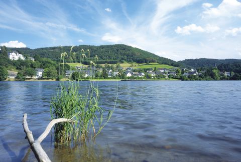
Length: approx. 3.2 kilometers Duration: approx. 1.5 hours Difference in altitude: approx. 100 meters
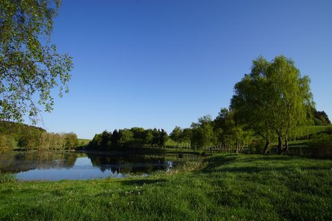
The approx. 4.5 km long circular tour leads past the Boos Eiffel Tower (currently closed) and the two Boos maars. Information boards along the way provide information about volcanism and the local flora and fauna.
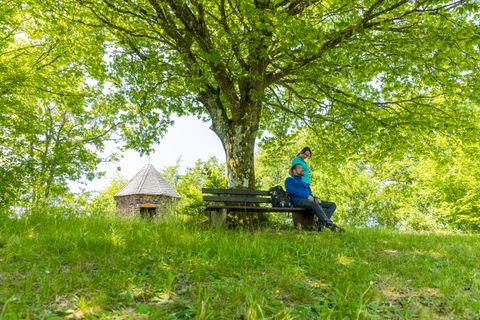
Experience the geological diversity around Bad Bertrich on this 7 km circular hike. From the start at GesundLand Tourist Information, the trail leads over the Palmberg to Viktoriahöhe and on to Ruflay. Past the "Oasis of Peace" and the volcanic Maischquelle spring.
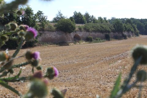
R Kre2 - Kretzer Bachtal 1.5 km
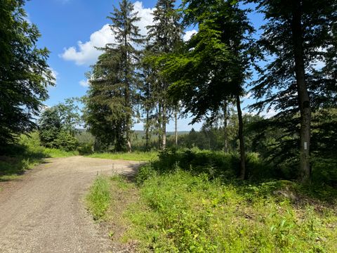
This trail takes you to US positions from the time of the fighting in the Hürtgenwald in 1944-45, which have been investigated and mapped by the LVR Office for the Preservation of Monuments.
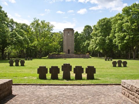
Walk through the town of Bitburg, which is possible with a wheelchair, baby carriage and baby carriage.
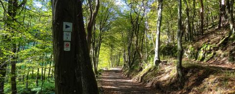
The watercourses and their floodplains are a typical and ecologically valuable part of the Rureifel with a great wealth of flora and fauna. This diversity is thanks to the farmers who have mowed the meadows for centuries. When modern forms of farming close to villages made haymaking in the valleys no longer worthwhile, spruce trees were planted there. Efforts are currently being made in many places to restore the original floodplain vegetation. The characteristic terracing can be seen in many places along the hiking trail. This occurs when a river is no longer able to transport its debris load and deposits it in the floodplain. If a river deepens again due to a change in climate, it cuts through the previously formed terrace. The formerly swampy valleys of the Eifel only acquired their function as traffic routes after the river regulation at the beginning of the 20th century.
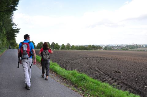
Brühl - Cologne-Sülz