Stage hike | Hocheifel-Panorama-Weg (Insul - Adenau)
Description
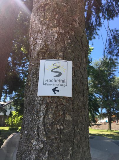
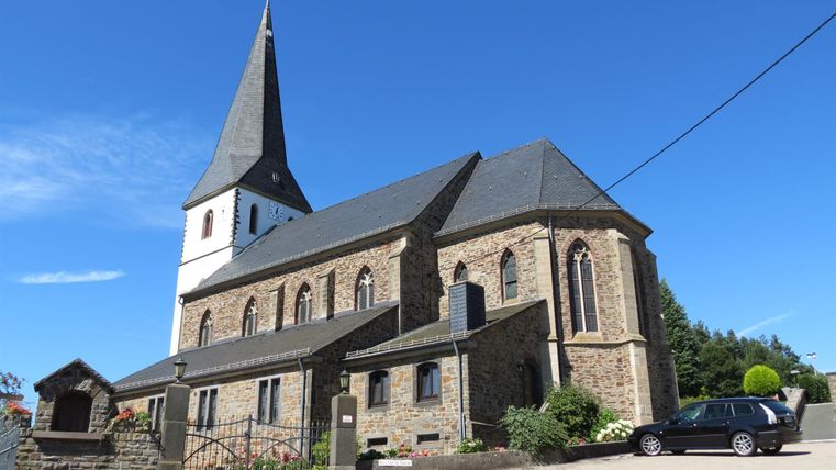
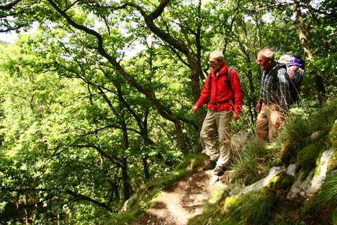
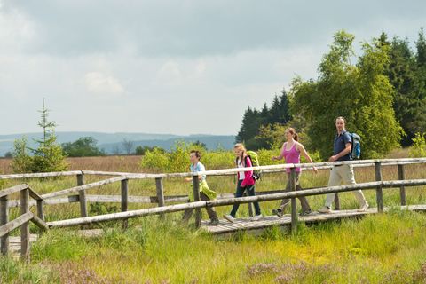
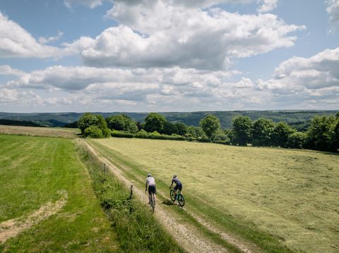
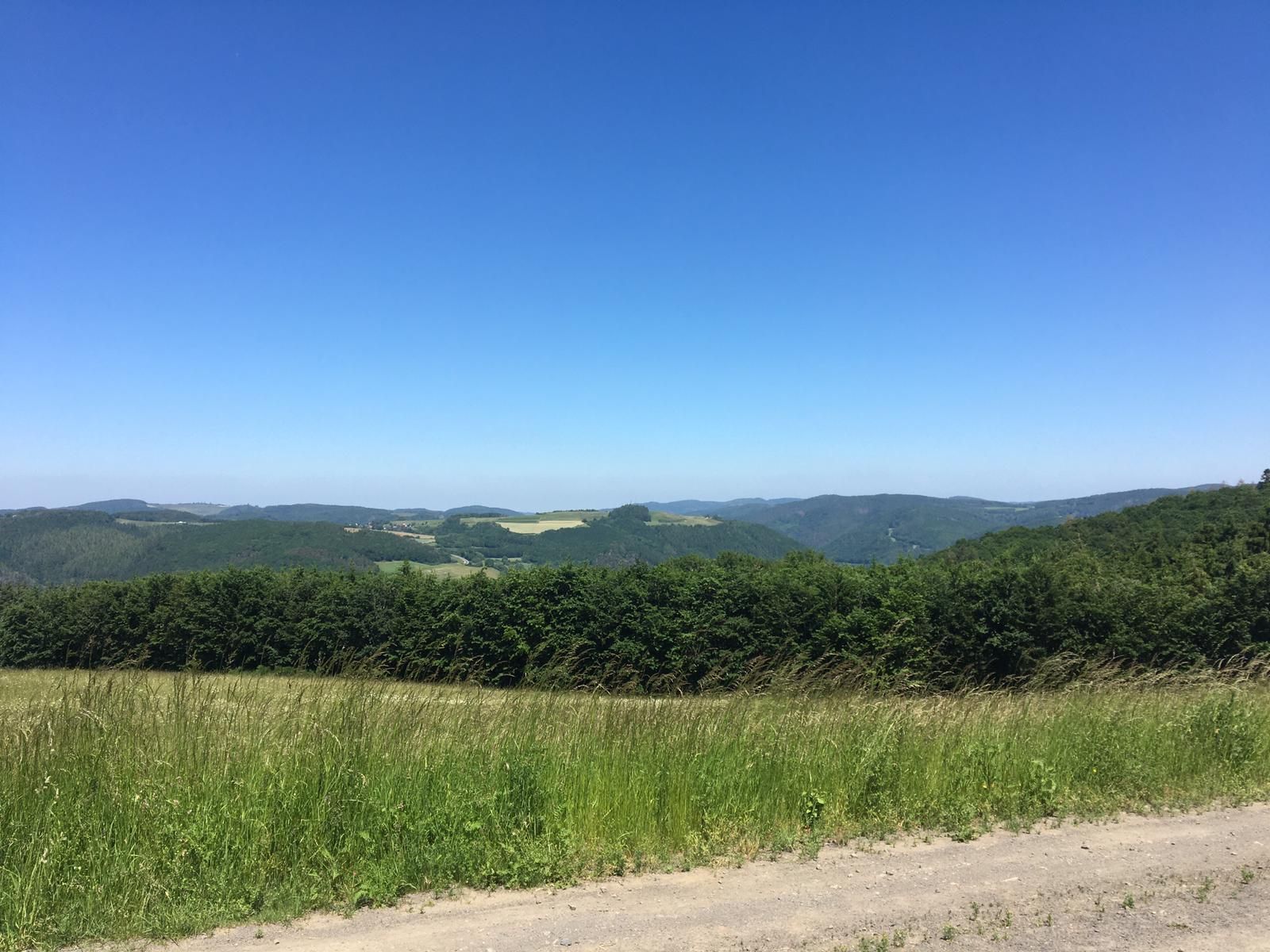
The Hocheifel-Panorama-Weg connects the predicate hiking trails AhrSteig and Eifelleiter over the ridges of the Hocheifel and captivates with fantastic views. Starting at the chapel in the tranquil Eifel village of Insul, the route quickly leads through the dense deciduous forest to the ridges of the Hocheifel. Fantastic distant views from the Winnerather Höhe to the opposite Eifel peaks and even as far as the Siebengebirge promise a scenic hike.
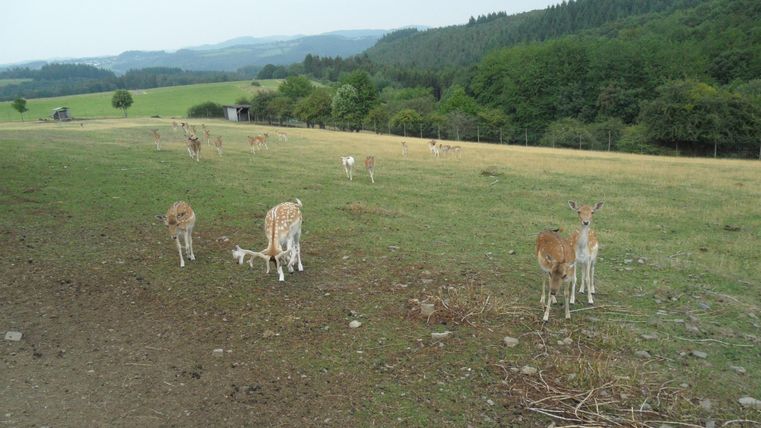
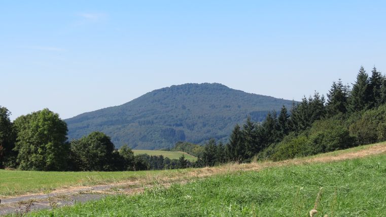
Shortly before the village of Winnerath, small and large sika deer graze peacefully and can be admired in the game reserve. The imposing Aremberg soon moves into the focus of the hiker: a powerful contemporary witness of the volcanic past from the tertiary age. In the Hürstnück nature reserve with its rare heather and grassland areas, one's gaze is quickly drawn to the highest points of the Eifel: the Hohe Acht, the Nürburg castle ruins and the Nürburgring appear prominently on the horizon and shape the wild and romantic landscape of the Hocheifel. Between fields and meadows over the Reifferscheid ridge, the path slowly leads back into the picturesque valley. A piece of the Eulenweg nature trail accompanies us through the dense, dreamy forest until it goes from the Hüstert hiking car park to the picturesque town of Adenau and the historic market square.
The route is also signposted in the opposite direction.
Impressions
Copyright: Tourist-Information Hocheifel-Nürburgring Copyright: Verbandsgemeindeverwaltung Adenau, Tourist-Information Hocheifel-Nürburgring Copyright: Verbandsgemeindeverwaltung Adenau, Tourist-Information Hocheifel-Nürburgring Copyright: Gerd Spitzlay, Wanderfreunde Schuld e.V Copyright: Tourist-Information Hocheifel-Nürburgring Copyright: TI Hocheifel-Nürburgring Copyright: TI Hocheifel-Nürburgring
Further information

Tourist-Information Hocheifel-Nürburgring
Kirchstraße 15 - 19
53518 Adenau
