Wanderroute Kolmeshöhe - BIT 22
Type of tour:Hiking
-Difficulty:very easy, easy
Duration1:20 h
Length5.1 km
Ascent7 hm
Descent7 hm
Elevation profile
Description
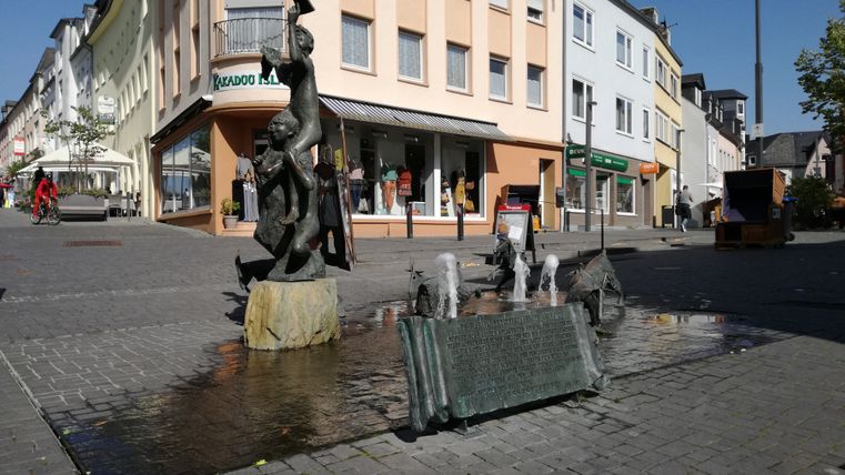
Walk through the town of Bitburg, which is possible with a wheelchair, baby carriage and baby carriage.
The path to the Kolmeshöhe cemetery of honour leads through the center of Bitburg with many places to stop for refreshments.
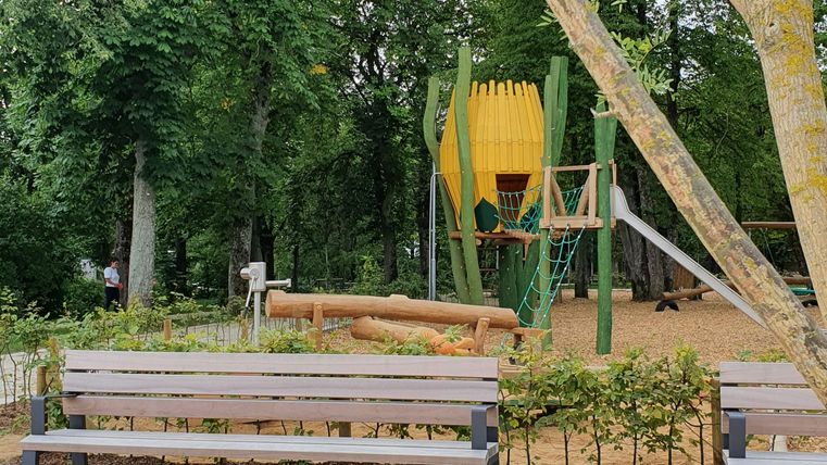
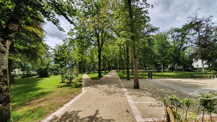
The barrier-free Maximiner Wäldchen, Bitburg's town park, is worth a short stop to relax.
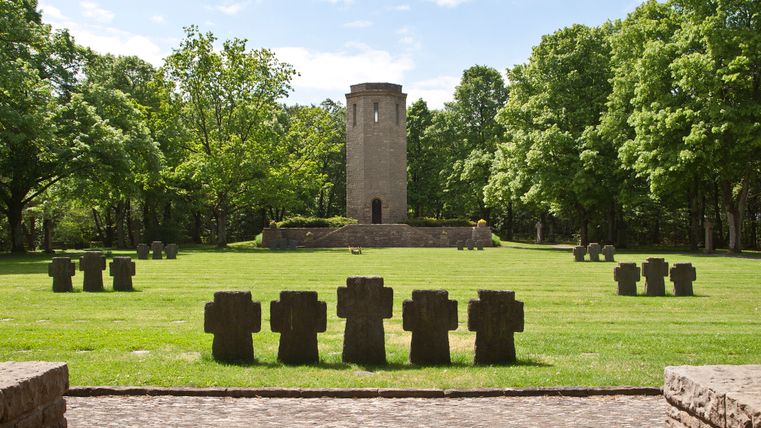
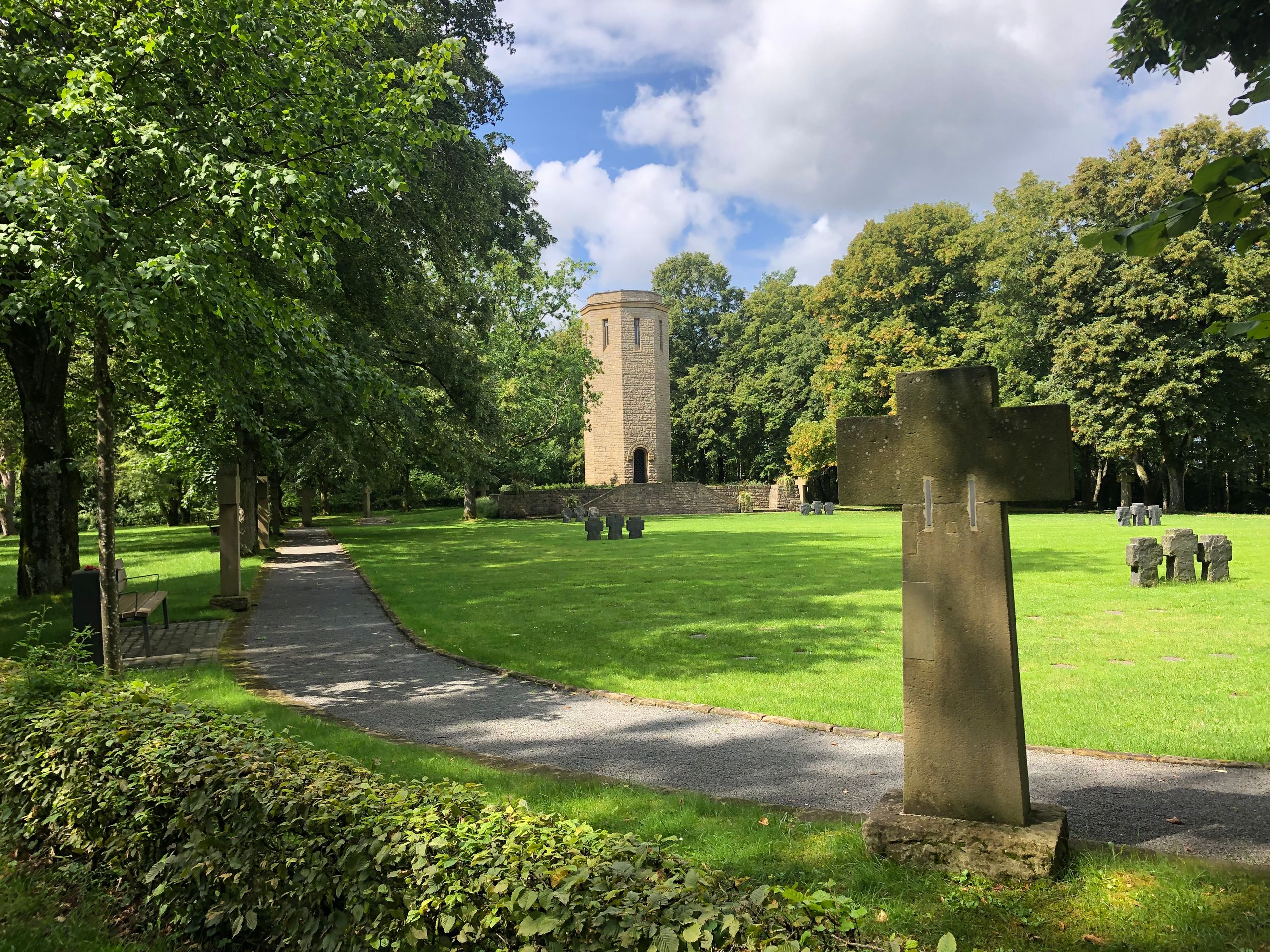
On the outskirts of Bitburg is the Kolmeshöhe cemetery of honor, a memorial to the fallen of the two world wars. It was laid out around 1930 and extended after the Second World War.
Start: at the Römermauer, "Grüner See" parking lot (opposite the Bitburger Land tourist information office).
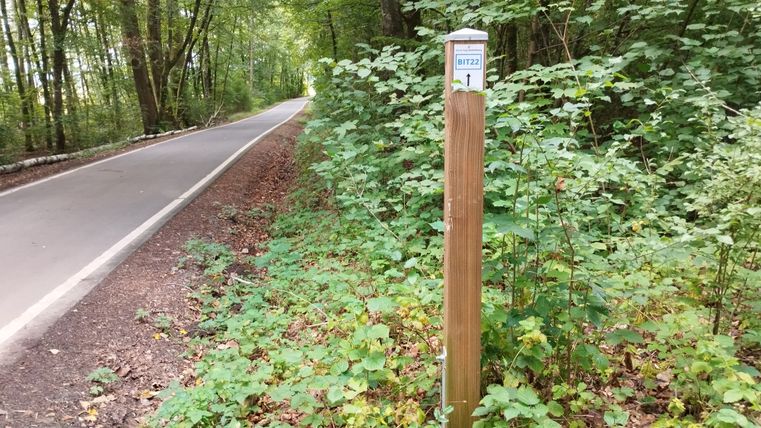
The trail is marked with BIT 22.
Impressions
Further information
Tourist-Information Bitburger Land
Römermauer 6
54634 Bitburg
Travel-for-all information
We have compiled some information on accessibility below. Detailed information can be found in the test report.
- The circular route has a total length of 4.6 km.
- Parts of the trail are also designated for cyclists, skaters etc. or horse riders.
- It runs in sections on roads used by motor vehicles (traffic-calmed zones or roads, business, forestry or agricultural roads).
- A road used by motor vehicles must be crossed. The crossing is unsecured.
- The route is signposted. However, the signposting is patchy.
- There is a tactile model of the city on the first section of the route.
- There is no information in easy language.
We have compiled some information on accessibility below. Detailed information can be found in the test report.
- The circular route has a total length of 4.6 km.
- The trail is signposted. However, there are gaps in the signposting.
- There are embankments, which are secured by handrails.
- The path is also partly marked for cyclists, skaters etc. or horse riders.
- It runs in sections on roads used by motor vehicles (traffic-calmed zones or roads, business, forestry or agricultural paths).
- A road used by motor vehicles must be crossed. The crossing is unsecured.
We have compiled some information on accessibility below. Detailed information can be found in the test report.
- The circular route has a total length of 4.6 km.
- The path does not have a continuous visually contrasting or tactilely detectable walkway boundary.
- There are embankments, which are secured by handrails.
- The path is also partially marked for cyclists, skaters etc. or horse riders.
- It runs in sections on roads used by motor vehicles (traffic-calmed zones or roads, business, forestry or agricultural paths).
- A road used by motor vehicles must be crossed. The crossing is unsecured.
- The route is signposted. However, there are gaps in the signposting.
- The signage is designed in clearly legible and high-contrast lettering.
- There is a tactile city model with Braille on the first section of the route.
We have compiled some information on accessibility below. Detailed information can be found in the test report.
- There is a marked parking lot for people with disabilities and the "Stadthalle" bus stop near the starting point.
- The circular route has a total length of 4.6 km.
- The path is almost step-free. In the first section, a 14 cm high kerb must be crossed.
- The path is at least 170 cm wide. There is one narrower section (100 cm wide over a length of 3 m).
- The path is mostly easy to walk and drive on (concrete/natural stone paving, asphalt). A shorter section in the middle leads over forest and meadow paths that are difficult to walk and drive on, some with ruts.
- The trail has a few inclines and declines. The steepest gradients are 10% over a length of 50 m and 8% over a length of 100 m.
- There are embankments, which are secured by handrails.
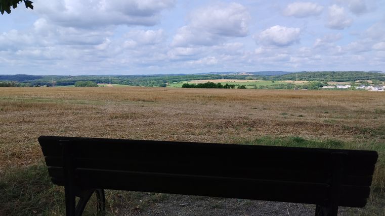
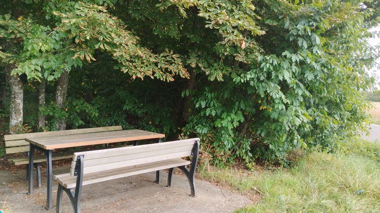
- Seating is available.
- The path is signposted. However, there are gaps in the signage.
- The path is also partially signposted for cyclists, skaters etc. or horse riders.
- It runs in sections on roads used by motor vehicles (traffic-calmed zones or roads, business, forestry or agricultural paths).
- A road used by motor vehicles must be crossed. The crossing is unsecured.
- The Bitburger Land tourist information office rents out Swiss Tracs and a wheelchair. Details can be found on the Bitburger Land Tourist Information website.
Public WC for people with disabilities at the Grüner See parking lot
- Doors are at least 85 cm wide.
- The maneuvering spaces are
in front of the washbasin 95 cm x 230 cm; in front of the WC 150 cm x 85 cm;
to the left of the WC 92 cm x 68 cm; to the right of the WC 40 cm x 68 cm. - Fold-up grab rails are provided to the left and right of the WC.
- The wheelchair accessibility of the washbasin is limited.
- There is no alarm trigger.
- Certified in the period: September 1, 2023 to August 31, 2026
