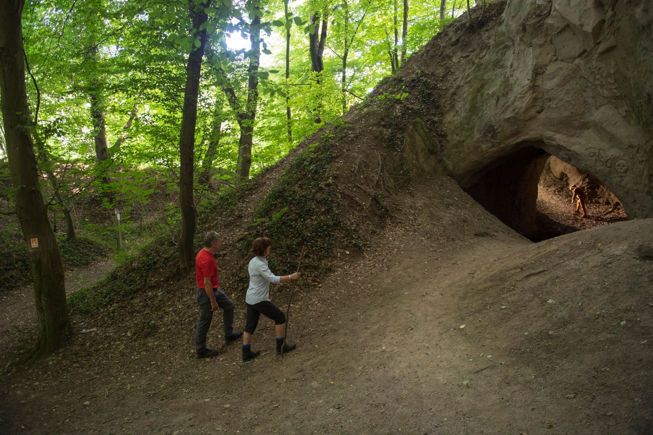
Trasshöhlenweg - Geopfad-Route U
Description
Start at Bad Tönnisstein railroad station/guest house "Schmökermühle" on the B 412 between Brohl-Lützing and Burgbrohl, approx. 14 km, marked: "Geo-U"
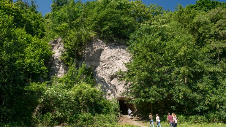
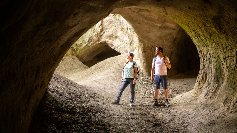
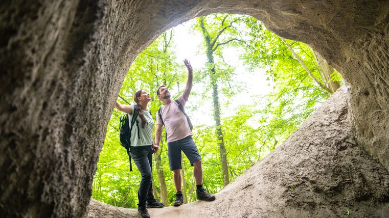
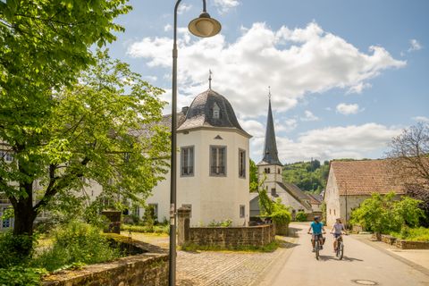
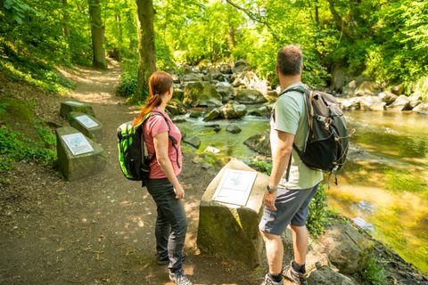
Behind the "Schmökermühle" guesthouse, the former trass mining tunnels can be visited. The route continues on the Lönssteig or on the L 113 to the former Bad Tönnisstein clinic. Behind the clinic, the trail leads to the Wolfsschlucht gorge. The steps lead up to the road, which you cross and continue towards Wassenach. Follow the signs through the village until you reach the L 113. After crossing the road, turn left onto a tarred path with two small chapels. There you turn left to the edge of the forest, where there is a Roman quarry, "die Mauerley". You reach Burgbrohl through the forest above the Gleeser Bach stream. The trail descends through the Wassenacher Hohl to the church, then over the Burgberg and along the Brohlbach stream. Behind the factory, the path leads through basalt blocks of a former lava flow up to a basalt cinder cone.
A detailed description with background information can also be found on the website of our volcano park guide Konrad Friedgen: https://profirouten.de/eifel/geopfad-route-u-trasshoehlenweg
