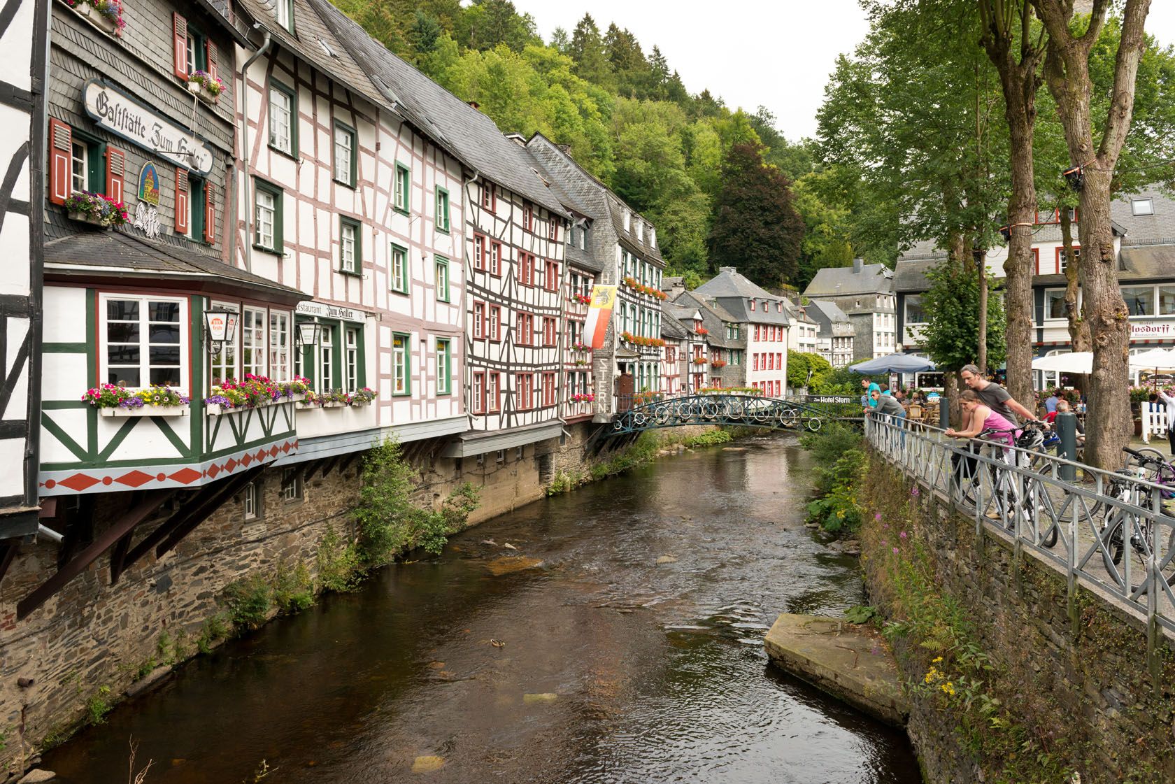
The Rur Bank cycle route
Description
Signal de Botrange (Belgien) - Roermond (Niederlande)
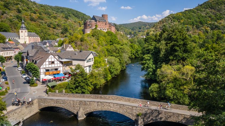
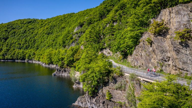
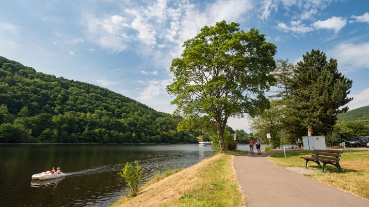
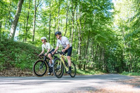
When travelling along the RurUfer, or Rur bank, cycle route between the source of the river in the Hohes Venn near Botrange (Belgium) and the point where it flows into the Maas near Roermond (the Netherlands), the Rur is a constant companion.
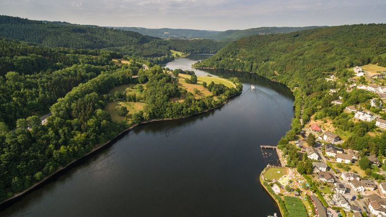
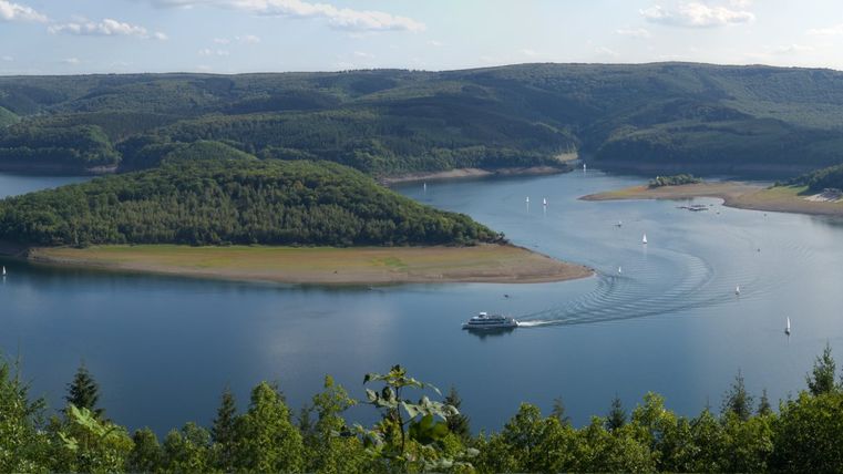
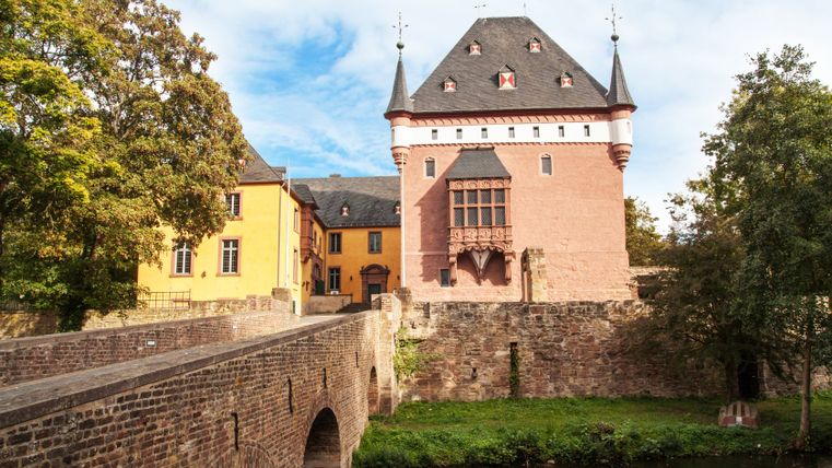
The route leads via Monschau to Einruhr, along the Rursee lake through the Rureifel, past Düren and Jülich, and through the Heinsberg region. At the edge of the cycle route in North Rhine-Westphalia, the history of the water comes alive. Cloth production, dams, papermaking and interesting museums invite cyclists to learn more about life along the water.
Impressions
Copyright: Grünmetropole e.V., Dennis Stratmann Copyright: Grünmetropole e.V., Dennis Stratmann Copyright: Grünmetropole e.V., Dennis Stratmann Copyright: Eifel Tourismus GmbH, Dennis Stratmann Copyright: vennbahn.eu Copyright: Eifel Tourismus GmbH/D. Ketz Copyright: Eifel Tourismus GmbH/D. Ketz Copyright: Eifel Tourismus GmbH/P. Jacob Copyright: Düren Tourismus Copyright: Düren Tourismus
Further information

Eifel Tourismus GmbH
Kalvarienbergstraße 1
54595 Prüm
