Hinterbüsch Trail
Description
Üdersdorfer Mühle - Weidenbach - Meerfeld
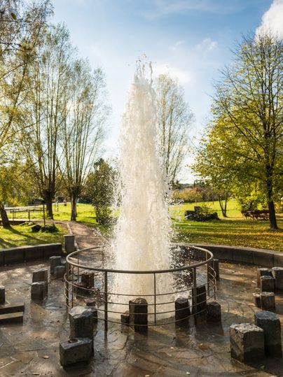
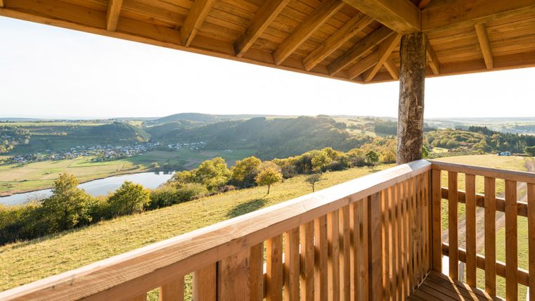
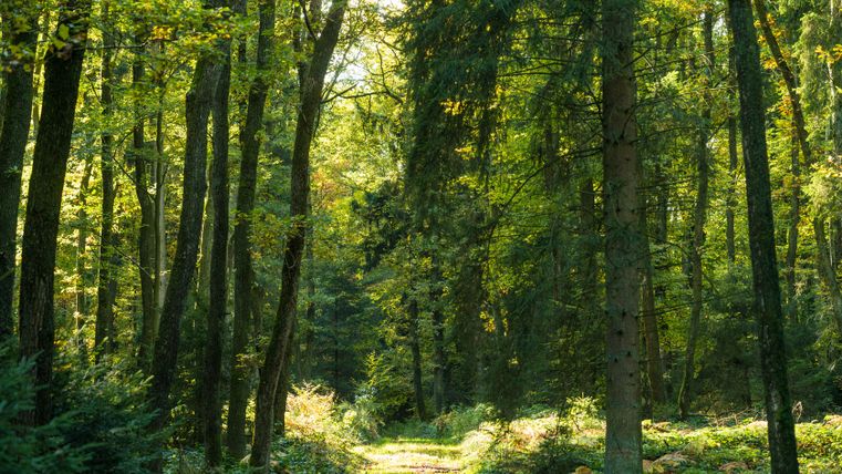
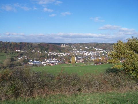
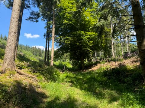
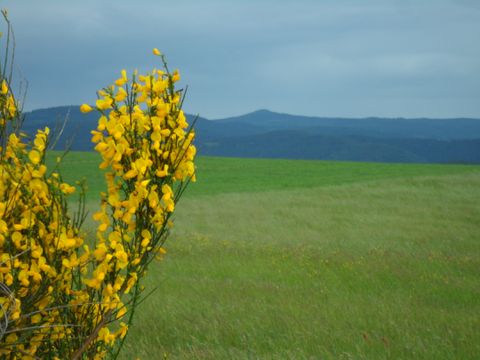
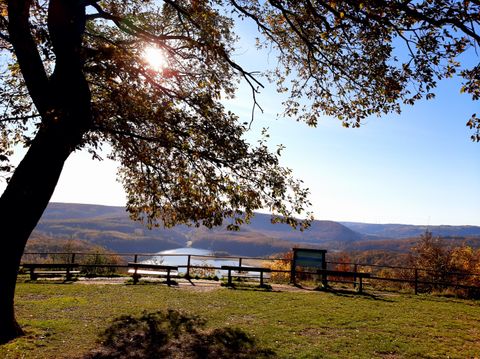
The first stage of this hiking route leads up to the Tellerley lava block, from where you can enjoy a wonderful view over the narrow Lieser valley. The ascent to the next viewpoint, the Aarley, is short and arduous. A short while later, the path travels steeply down into the Trombach valley, and also crosses the Marschbach valley. In Wallenborn, a stop at the “Brubbel”, a cold water geyser, is a must. Every 35 minutes, the water jet rises up into the air up to a height of four metres. Now, it’s just a short distance to the first day’s destination, Weidenbach. On the second stage of the trail, the path takes you up and downhill, through pine and deciduous forests and along babbling brooks. Sometimes, the uphill stretches can be hard work, such as the one leading to the “Landesblick” viewing tower. However, the breathtaking panoramic view onto the Eifel makes all the effort worthwhile.
Impressions
Further information

Eifel Tourismus GmbH
Kalvarienbergstraße 1
54595 Prüm

