
Copyright: Rursee-Touristik GmbH
Wanderparkplatz Hof Rösberg
Simmerath
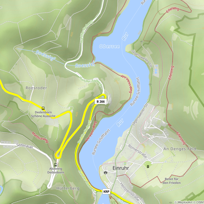
The hiking trail at Obersee can be accessed from the hiking car park at Hof Rösberg. From here you can walk along the picturesque banks to Rurberg or Einruhr. Various circular hiking trails start in both villages.
Directions by car
B266 between Kesternich and Einruhr
Coordinates for the navigation system:
50 ° 35'20.4 "N 6 ° 22'41.0" E.
Directions by car
B266 between Kesternich and Einruhr
Coordinates for the navigation system:
50 ° 35'20.4 "N 6 ° 22'41.0" E.

Contact
Wanderparkplatz Hof Rösberg
B266
52152 Simmerath-Einruhr


