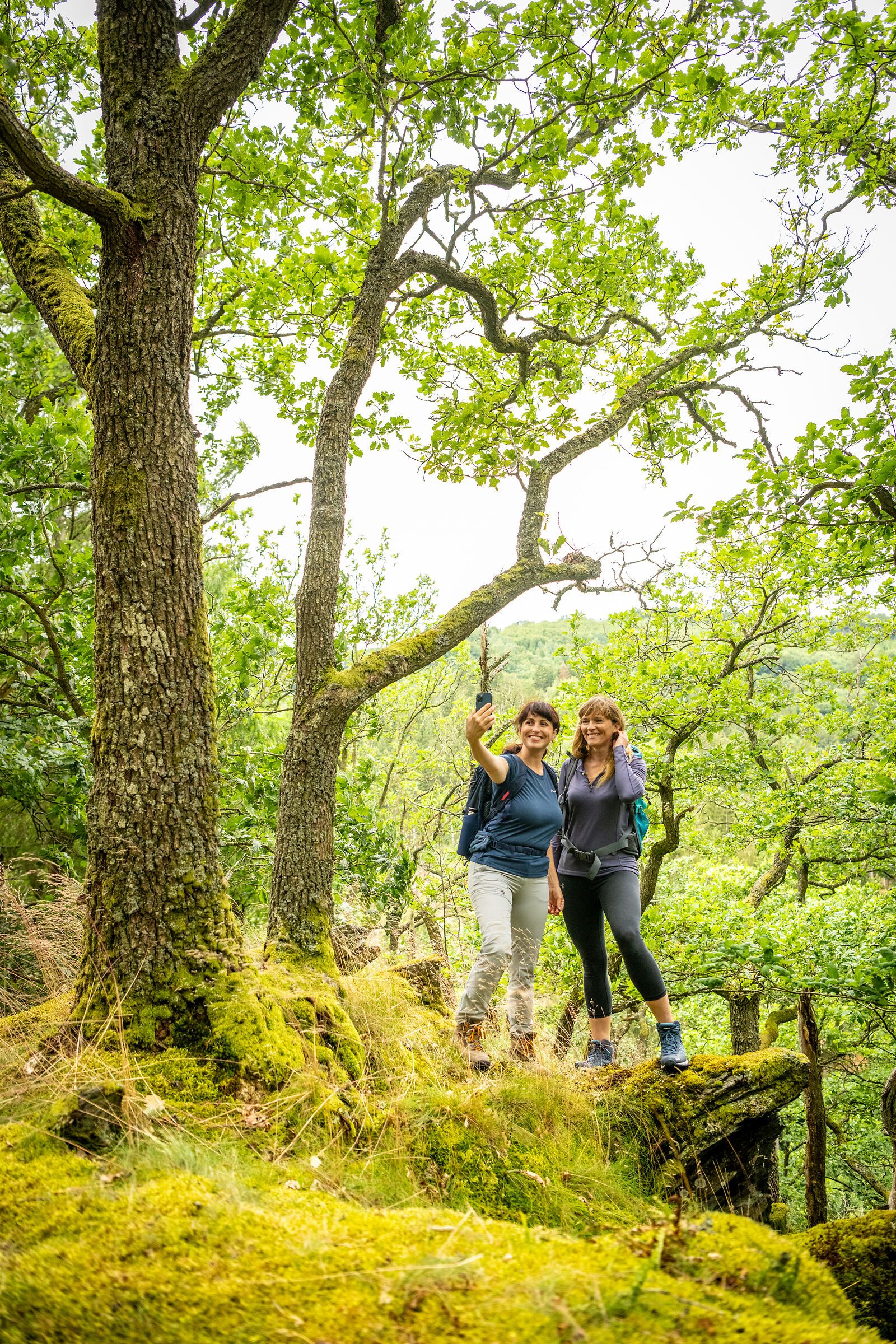
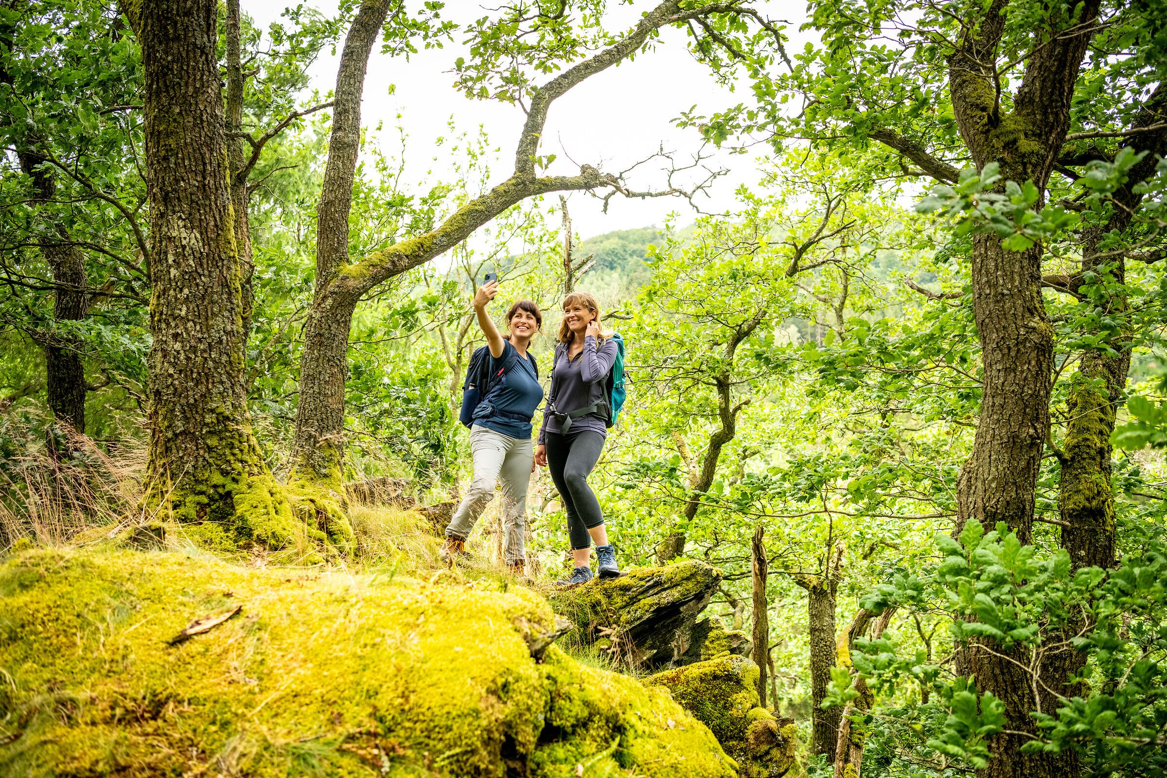
In the Eifel, every path leads you not only through breathtaking landscapes, but also through centuries of history, traces of ancient cultures and deep experiences of nature. Between volcanic rocks and gentle mountain ranges, quiet valleys and sunny juniper heaths lies your very own personal path - and you can now easily find it with the new hiking tour finder.
Whether cultural-historical, natural, sporty or meditative - each hiking route tells its own story. You decide what you want to discover: the rugged rock formations of the Devil's Gorge, the mighty reservoirs and the primeval forest of tomorrow in the Eifel National Park, the wide plateaus in the wild Islek, the powerful volcanic landscape or the rushing natural spectacle at the highest waterfall in the Eifel.
Plan individually. Experience it authentically. Immerse yourself deeply.
With just a few clicks, you can find the tour that suits your rhythm - by difficulty, length or theme.
The hiking tour finder is your compass for discovering the natural landscapes of the Eifel
Find a tour now and start hiking:
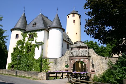
The approx. 12 km long circular hiking trail of the Southern Eifel Nature Park connects the OG Rittersdorf, Hermesdorf and Wiersdorf with each other. The trail leads across plateaus and the Bitburger Gutland.
A very family-friendly hiking trail leads past above Oberzissen.

The 1.1 km long village walk shows you the special features of the small Börde village of Muldenau.
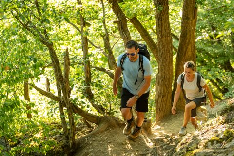
This 17km long route leads straight past the Ahr heights Hornberg, Schrock, Koppen and takes you through the most beautiful part of the mid- Ahr valley
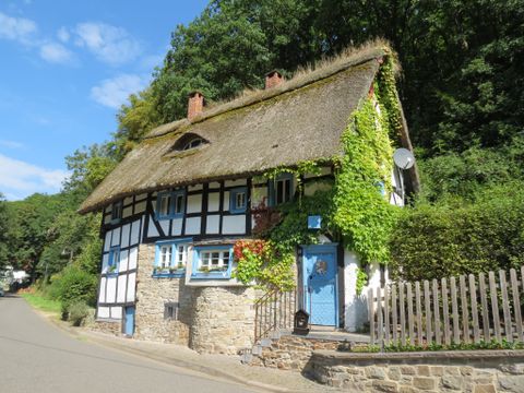
This shortened version of the Fürstin-Margaretha-Weg gives hikers a relaxed immersion in the secluded forests of the Adenauer Land combined with impressive panoramic views over the Upper Ahr Valley.

R Ni2 - Nickenich Hochwald 5 km - medium
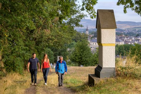
R Sa1 - Historic Saffig 3 km - easy

Over 2 km, the water experience path at Brecht explains the need to deal with water in an environmentally friendly way.
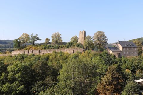
Experience Dasburg in a unique way with an audio tour at 10 audio stations in the town center and around the castle. All stations are within easy walking distance.
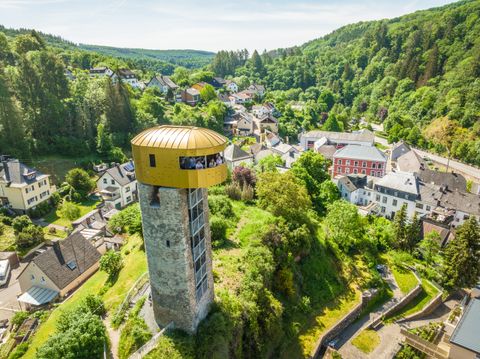
Puzzles in the footsteps of knights and counts. The exciting GPS scavenger hunt takes you right through the town of Neuerburg and into the heart of its history.
Benefit now from the early booking advantage on many hiking and cycling tours!