Rundwanderweg des Naturpark Südeifel Nr. 46 - Schankweiler
Description
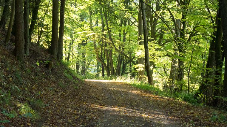
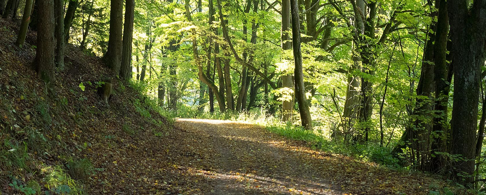
The circular route leads entirely along forest paths through the Nusbaumer Hardt.
The circular hiking trail leads entirely along forest paths through the Nusbaumer Hardt.
The Nusbaumer Hardt is one of the largest contiguous forest areas in Rhineland-Palatinate, south of Nusbaum in the Eifel.
Impressions
Further information

Tourist Information Bollendorf
Neuerburger Straße 6
54669 Bollendorf
Travel-for-all information
We have compiled some information on accessibility below. Detailed information can be found in the test report.
- The circular trail has a total length of 6.2 km.
- The hiking trail runs along a farm, forestry and agricultural road.
- There is no need to cross a road used by motor vehicles.
- The trail is clearly, uniformly and continuously signposted.
- There is no information in easy language.
We have compiled some information on accessibility below. Detailed information can be found in the test report.
- The circular route has a total length of 6.2 km.
- The trail is clearly, uniformly and continuously signposted.
- The hiking trail runs along a commercial, forestry and agricultural road.
- It is not necessary to cross a road used by motor vehicles.
We have compiled some information on accessibility below. Detailed information can be found in the test report.
- The circular trail has a total length of 6.2 km.
- The hiking trail runs along a farm, forestry and agricultural road.
- It is not necessary to cross a road used by motor vehicles.
- The path does not have a continuous visually contrasting or tactilely detectable footpath boundary.
- The path is clearly, uniformly and continuously signposted.
- The signage is designed in easily legible and high-contrast lettering.
- Information is not available in Braille or prismatic writing.
We have compiled some information on accessibility below. Detailed information can be found in the inspection report.
- There are no marked parking spaces for people with disabilities at the hiking parking lot.
- The nearest bus stop is "Kruchten / Schwarzenbruch". The distance from the starting point of the hike to the bus stop is 500 m.
- The circular route has a total length of 6.2 km.
- The path is stepless.
- The hiking trail is at least 250 cm wide throughout and moderately passable (forest path).
- The first section (2.2 km) is uphill with gradients of up to 9% over a length of 400 m. This is followed by a flatter section with a short gradient of 7% over a length of 100 m. The descent is almost continuously downhill. The steepest section has a gradient of 18% over a length of 50 m.
- There are seating areas at longer intervals.
- The path is clearly, uniformly and continuously signposted.
- The hiking trail runs along a farm, forestry and agricultural road.
- It is not necessary to cross a road used by motor vehicles.
- There is no WC on the hiking trail. However, there are several certified WCs for people with disabilities in the surrounding area.
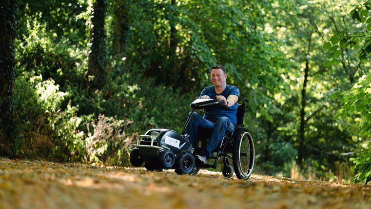
- There are two Swiss-Tracs (wheelchair tractors) that can be hired. Details can be found in the test report and on the website of the Southern Eifel Nature Park.
- Certified in the period: August 1, 2025 to July 31, 2028
