Eifeler Steilküste [19]
Type of tour:Hiking
-Difficulty:moderate, moderately difficult
Duration3:58 h
Length14.1 km
Ascent302 hm
Descent302 hm
Elevation profile
StartSchwammenauel, Rurseeschifffahrt; 52396 Heimbach - Hasenfeld
DestinationSchwammenauel, Rurseeschifffahrt; 52396 Heimbach - Hasenfeld
Description
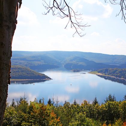
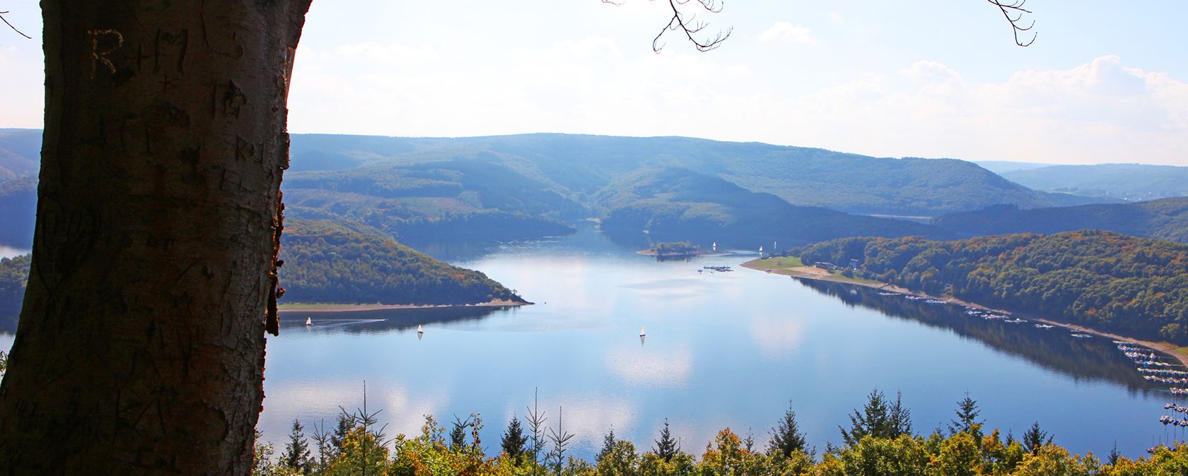
The trail leads along the banks of the Rursee, then up to Schmidt and back through the Eifel National Park with a view of the "Schwammenauel" reservoir.
A reservoir full of possibilities, embedded in a beautiful landscape
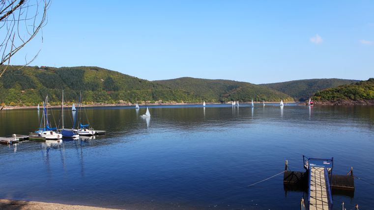
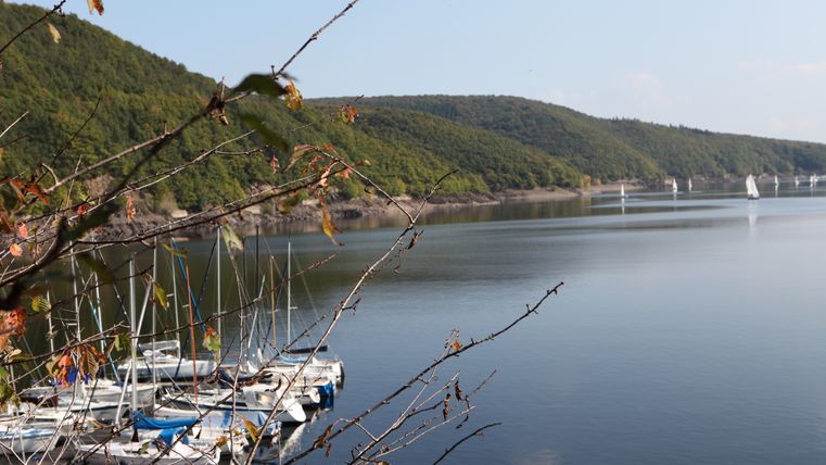
The 14.1 km circular trail takes you along the banks of the Rursee, through the village of Schmidt and back through the Eifel National Park in just over four hours. Along the way, you have a fabulous view of the Rur dam at Schwammenauel. There is a hydroelectric power station at the reservoir, which is used to generate electricity. The power station produces almost 25 million kilowatt hours of electricity per year. The lake has an area of 780 hectares and is one of the largest reservoirs in Germany with a capacity of 203 million m3. If you catch a low-water phase of the reservoir during your hike, you can see the rugged slate cliff that gives the circular hiking trail its name "steep coast".
On the Hubertushöhe, the vantage point in the south-east of the Schmidt district, you have a fantastic view over the Rur dam and the Kermeter. The Schöne Aussicht viewpoint on the Simonsley is also nearby.
If you are a water sports enthusiast, this is the place for you. Because water sports of all kinds are possible here. You can go sailing, surfing, boating or swimming. A sailing school even offers expert courses during the vacations. You can also sail across the lake on the white Rursee fleet and enjoy the beautiful landscape from the water.
Do you like fishing? Then a fishing paradise awaits you here. Whether it's eel, pike or carp - the fjord-like bays full of fish are sure to make your angler's heart beat faster.
In the summer season, you can also experience the spectacular "Rursee in Flammen" fireworks display. Enjoy the magic of the fireworks from one of the many boats that are decorated with breathtakingly sparkling lanterns for the occasion.
You can stop for a bite to eat in Schmidt and the other small villages around the reservoir.
At a glance
- Circular hiking trail, marking no. [19]
- Start/finish: Schwammenauel, Rursee-Schifffahrt, 52396 Heimbach-Hasenfeld
- Distance: 14.1 km
- Duration: 4:00 h, Difficulty level: medium
- Highest point: 450 m
- Lowest point: 258 m
Equipment
- Waterproof hiking boots and clothing suitable for the weather
- Sufficient water and a little food
Further information
Map material
- Hiking map no. 2 | Rureifel of the Eifelverein
These are available from our local tourist information offices.
Accessibility by public transport
- Accessible by bus line 231 and the Mäxchen: Bus stop Schwammenauel
You can find the timetable for bus route 231 here.
You can find the timetable for the Mäxchen here.

Rureifel Tourismus GmbH
Matthias-Zimmermann-Straße 14a
52152 Simmerath
