
Copyright: Rursee-Touristik GmbH
Wanderparkplatz sowjetische Kriegsgräberstätte
Simmerath
A local circular hiking trail can be accessed from the hiking car park at the Soviet war cemetery.
Trail no. 44 - Rursee-Höhenweg (other side of the street).
Directions by car
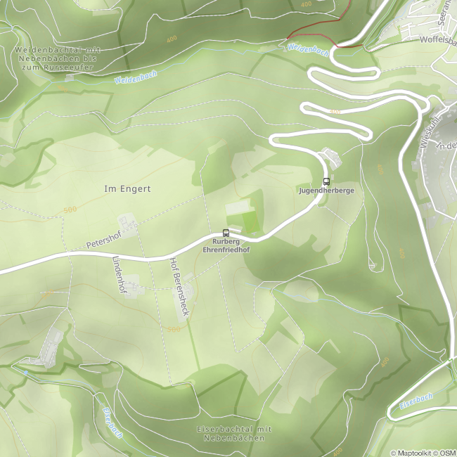
L166 between Kesternich and Rurberg
52152 Simmerath-Rurberg
Coordinates for the navigation system:
50 ° 36'33.9 "N 6 ° 21'50.4" E.
Trail no. 44 - Rursee-Höhenweg (other side of the street).
Directions by car
L166 between Kesternich and Rurberg
52152 Simmerath-Rurberg
Coordinates for the navigation system:
50 ° 36'33.9 "N 6 ° 21'50.4" E.

Contact
Wanderparkplatz sowjetische Kriegsgräberstätte
L166
52152 Simmerath-Rurberg


