
Copyright: TI Hocheifel-Nürburgring,Walter Schmitz
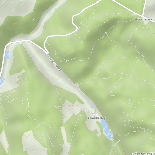
Wallfahrtskapelle Müllenwirft
Wirft
To commemorate the place of pilgrimage, a chapel was built in 1989 just a stone's throw away from the old monastery site.
Impressions

Contact
Wallfahrtskapelle Müllenwirft
Wirftbachtal
53520 Wirft


