
Copyright: Foto: Svenja Schulze-Entrup, Quelle: Touristik-Büro Vordereifel
Ortsgemeinde Ettringen
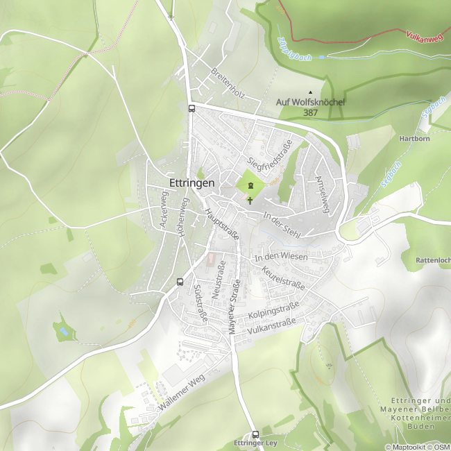
Ettringen
The local community Ettringen is located at the northern edge of the municipality Vordereifel and is the most populous of the 27 Vordereifel communities. Ettringen is surrounded by the three mountains Hochsimmer (587.9 m above sea level) in western direction, the Hochstein (562.5 m above sea level) in northern direction and the Ettringer Bellerberg (427.5 m above sea level) in southern direction.
The "Hochsimmerturm" with its fantastic view - in good weather even as far as the Cologne Cathedral - stands high up on Ettring's local mountain, the Hochsimmer, which gives it its name. On the flank of the Hochstein is the legendary Genoveva Cave and the Bellerberg impresses with its unique crater landscape.
In the middle of the 19th century, ore mining and the stone industry (basalt lava and tuff) developed in and around Ettringen, the evidence of which can still be seen today in many places, especially in the "Ettringer Lay".
The local community of Ettringen is also a partner in the cooperation Mühlsteinrevier RheinEifel on the way to becoming a UNESCO World Heritage Site.
Impressions
Copyright: Foto: Svenja Schule-Entrup, Quelle: Touristik-Büro Vordereifel Copyright: Foto: Svenja Schule-Entrup, Quelle: Touristik-Büro Vordereifel Copyright: Foto: Svenja Schule-Entrup, Quelle: Touristik-Büro Vordereifel Copyright: Foto: Svenja Schulze-Entrup, Quelle: Touristik-Büro Vordereifel Copyright: Foto: Svenja Schulze-Entrup, Quelle: Touristik-Büro Vordereifel


Contact
Ortsgemeinde Ettringen
Kreuzstraße 8
56729 Ettringen


