
Copyright: Eifel Tourismus, Dominik Ketz
Kylltal
Hellenthal
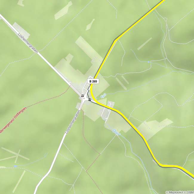
The Kyll Valley is a quiet, yet multifaceted backbone of the Eifel – a landscape that does not impose itself but unfolds depth with every step and every glance along the water. The Kyll springs inconspicuously at about 660 meters above sea level at the Losheimer Graben in the Kalkeifel, where moist meadows, basalt soils, and cool forest air shape the character of the region. From here, it embarks on its approximately 130-kilometer journey southward, through the Vulkaneifel and the Prümer Kalkmulde, past Gerolstein, Kyllburg, and Bitburg, before calmly and unceremoniously flowing into the Moselle at Trier-Ehrang.
What distinguishes the Kyll Valley is its interplay of natural history and cultural landscape. Over millennia, the river has burrowed deeply into the rock layers, cutting through dolomite, limestone, and volcanic deposits, forming a narrow, at times almost gorge-like valley, continually opened by broad floodplains, rocky outcrops, and wooded slopes. Along the Kyll lie railroad tracks from the 19th century, traces of Roman settlements, medieval castles, and small towns, whose rhythm is still determined by the water.
Characteristic of the valley is its calm, linear course: not a dramatic spectacle, but a continuous journey that allows for perception. The Kyll is the longest river in the Eifel and also the richest in water for the southern Eifel. It serves as a habitat for trout, water ouzels, and kingfishers, accompanying hikers and cyclists with a steady, almost meditatively flowing course. Those who follow the valley experience the Eifel in one of its most honest forms – geologically shaped, historically grown, and to this day remarkably unspoiled.
Impressions

Contact
Die Kyll
An der B265
53940 Losheimergraben


