Ahrsteig

Hike 85 km from the source in Blankenheim to the estuary near Remagen

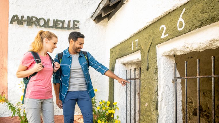
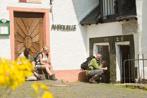
From its source to its mouth, the AhrSteig hiking trail accompanies perhaps the most romantic of all Rhine tributaries on its meandering 85.1 kilometers. The Celtic "Aha" (for water) rushes 421 meters from a tapped spring under a half-timbered house in the Eifel town of Blankenheim through the Ahr mountains to its mouth near Remagen. The hike leads in seven stages through the Eifel and the Ahr Valley.
For the "Rhine Romantics" of the early 19th century, Gottfried Kinkel, Ernst Moritz Arndt, Karl Simrock and Ferdinand Freiligrath, the Ahr Valley was the epitome of natural beauty, the land of smiles.

The AhrSteig is certified as a Prädikatsweg Wanderbares Deutschland.
The stages of the Ahrsteig

  1. Copyright: Ahrtaltourismus e.V.

    AhrSteig Stage 1: Blankenheim-Freilinger See

    Blankenheim
    Jederzeit frei zugänglich
    Distanz:11.5 km Dauer:2:34 h Anforderung:mittel

    The first Stage boasts a wealth of natural landmarks and cultural treasures. The Ahr spring in Blankenheim marks the starting point of the first Stage.

  2. Copyright: Ahrtaltourismus e.V.

    AhrSteig Stage 2: Freilinger See - Aremberg

    Blankenheim
    Distanz:12.2 km Dauer:2:45 h Anforderung:schwer

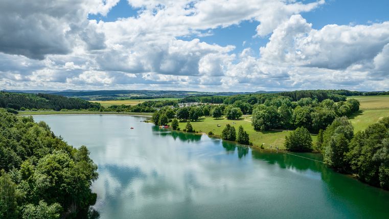
    The second leg of the Ahrsteig leads 11.5 km from the Freilinger lake through meadows and forests into neighbouring Aremberg.

  3. Copyright: Ahrtaltourismus e.V.

    AhrSteig Stage 3: Aremberg-Insul

    Aremberg
    Distanz:19.4 km Dauer:6:05 h Anforderung:schwer

    The third and longest leg of the route leads high into the hills and is 18.7 km long, the highest point being the Aremberg.

  4. Copyright: Ahrtaltourismus e.V.

    AhrSteig Stage 4: Insul-Kreuzberg

    Insul
    Distanz:17.4 km Dauer:5:25 h Anforderung:schwer

    The route from Insul to Altenahr-Kreuzberg is 17.4 km long and allows hikers to delve into the absolute seclusion of nature; lonely plateaus and rural idyll await, along with the wine village of Altenahr at the end of the leg.

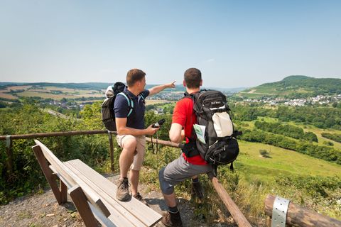
  5. Hikers on the forest path between green trees
    Copyright: Ahrtaltourismus, Dominik Ketz

    AhrSteig Stage 5: Kreuzberg-Walporzheim

    Distanz:14.5 km Dauer:5:05 h Anforderung:schwer

    This 17km long route leads straight past the Ahr heights Hornberg, Schrock, Koppen and takes you through the most beautiful part of the mid- Ahr valley

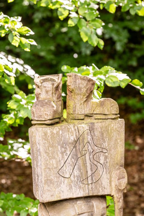
  6. Wooden block with large A and large S for AhrSteig above two carved hiking boots
    Copyright: Ahrtaltourismus, Dominik Ketz

    AhrSteig stage 6: Walporzheim bis Bad Neuenahr Mitte

    Vorübergehend geschlossen
    Distanz:15.7 km Dauer:4:04 h Anforderung:mittel

    The 6 Stage is one for red wine lovers. From the romantic wine village of Walporzheim, this leg leads you on windy paths past the red wine metropolis of Ahrweiler to the chic spa town of Bad Neuenahr.

  7. Copyright: Ahrtaltourismus e.V.

    AhrSteig Etappe 7: Bad Neuenahr - Sinzig

    Distanz:18.5 km Dauer:5:00 h Anforderung:mittel

    The 16 km final leg of the journey is another dream for nature-lovers as once again, the AhrSteig shows itself in its most beautiful light.

Out and about on the Ahrsteig

More hiking tips