Vier Seen
Description
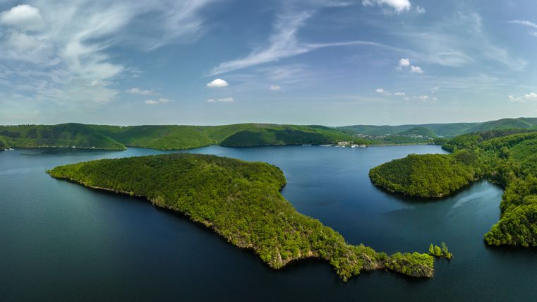
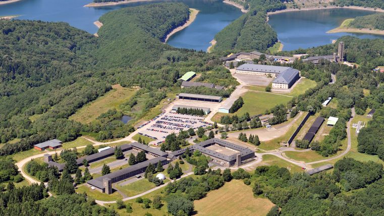
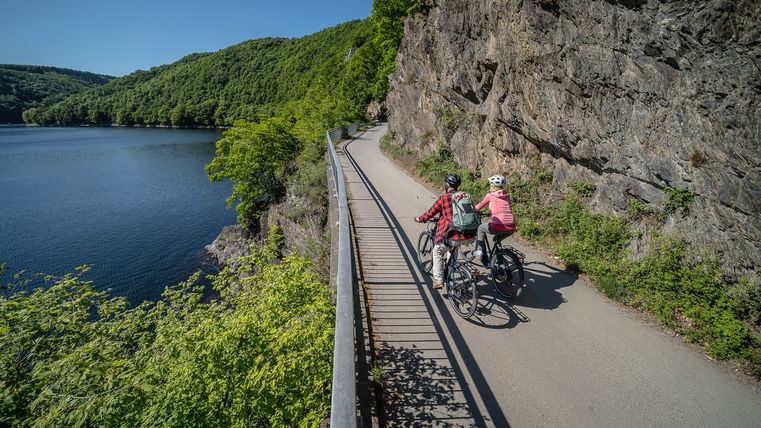
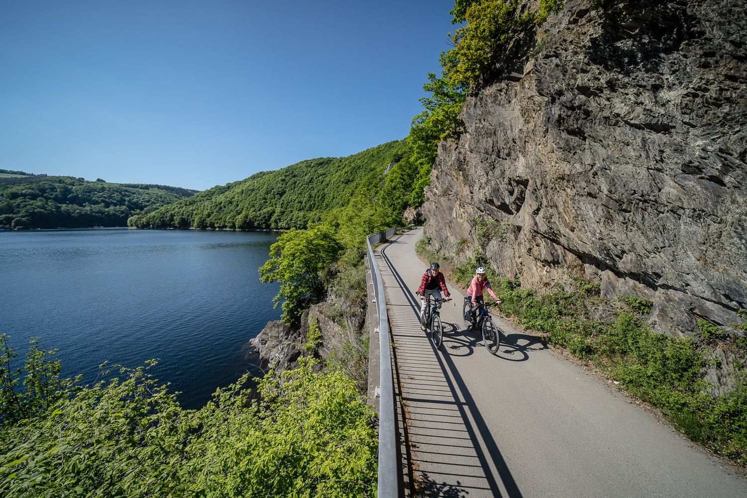
Beautiful cycle paths with little car traffic combine water and nature experiences in the Eifel National Park. Plus a piece of dark history and the conversion of Vogelsang into a national park center and Nazi documentation
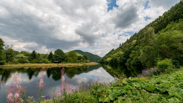
The starting point is the National Park Gate in Heimbach. You can either take the Rur Valley Railway or use the large parking lot "An der Laag".
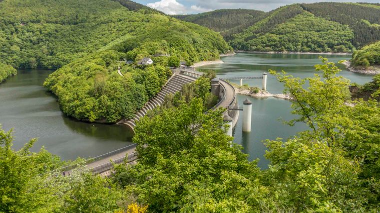
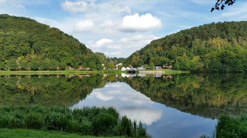
You cycle the first 10 kilometers on the RurUfer cycle path (RUR). At the traffic circle, head into the town until you reach the stone bridge. Here you follow the course of the river on the Seerandweg past our first lake to the well-known Art Nouveau power station. Power is a good keyword. A short time later, you will need it for the first ascent, which takes you to the height of the dam for our second lake, the Schwammenaueler Stausee, also known as the Rursee.
You will reach the L 15 via serpentines through the Eifler Tor resort. Cross the road and turn left into the Büdenbach parking lot to continue along the RurUfer cycle path. A beautiful section accompanies the national park on the edge of the Kermeter. At the apex of the path, the route descends to the banks of the Rur lake back to the Paulushofdamm. Turn left here and the tour will take you past the Rurberg later on.
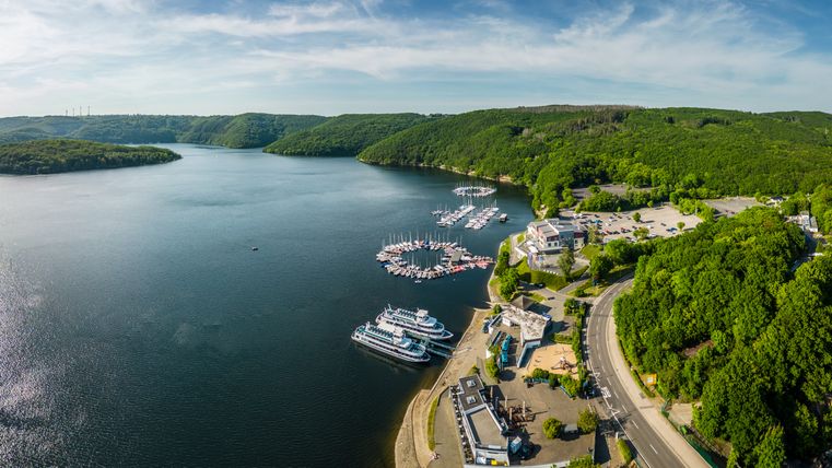
You are already cycling along the third lake, the so-called Obersee. The old K 7 has been the connection between Rurberg and Gemünd for many decades. The flat part of the route ends when it goes up to the Urftseemauer. There are places to rest and relax on the structure.
The Obersee lies below you, and you continue along the next lake, the Urftsee. Continue along the route until you see a modern bridge over the Urft, the Victor von Neels Bridge.
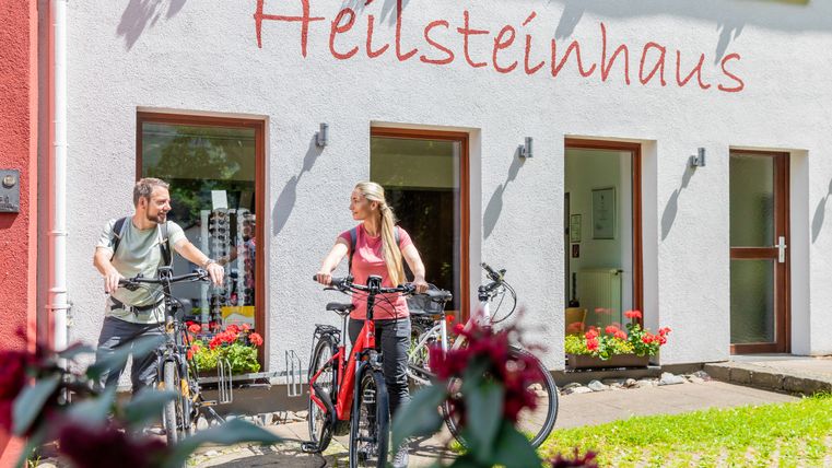
The ascent to Vogelsang-ip lies ahead with a 16% gradient. The route climbs past the sports facilities and the "torch bearer". It's worth the effort when you reach the new Volgelsang Forum, the view of Urftsee and Kermeter, the information and exhibition area and the restaurants. Leave Vogelsang via the wide tarred road to the "Walberhof" traffic circle. Behind the parking lot, the route is well graveled and steeply downhill to Einruhr. The route is signposted as a cycle path in the national park and leads in the last section on the B 266 to the edge of the village and the Obersee. Turn right into Heilsteinstraße.
Cross the Rur bridge and follow the water on the other bank of the B 266 for a short distance. You are back on the RUR. At the first hairpin bend, turn right towards Rurberg on the L 128. Turn right onto the Eiserbachdamm, which you cross to the left. The building of the Rurberg National Park Gate provides orientation.
The last stage takes you along the other bank of the Rursee via Woffelsbach back to Schwammenauel. Here you leave Rurberg at the water's edge via Grimmischall, In den Höfen, Hövel, right into Wiesenstraße, left past the campsite and parallel to the country road on Woffelsbacher Straße. The L 128 is reached and accompanies you to the entrance to the village. The route goes down and up again on Wendelinustraße. Via Kirschberg and "Im Zemmer" you leave the village and enter the Schilsbach valley.
Continue (and always on the RurUfer cycle path) past a few water sports clubs and arrive at the Eschauel parking lot. At the parking lot, continue straight on for 4 km along the shore to the "Seehof" and the boat landing stage. Behind the barrier, turn left and right down into the forest. At the bottom, turn left onto Brementhaler Straße. Turn right at the Nepomuk Chapel and continue downhill to the Heimbach National Park Gate, the end of this tour.
