Tuffsteinweg - Geopfad-Route O
Description
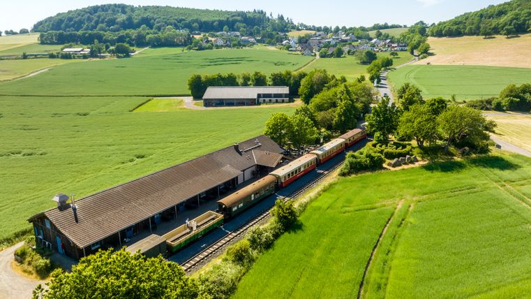
Start at the train station in Engeln, approx. 17 km, marked: Geo-O
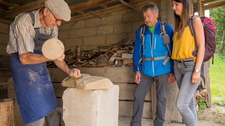
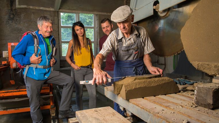
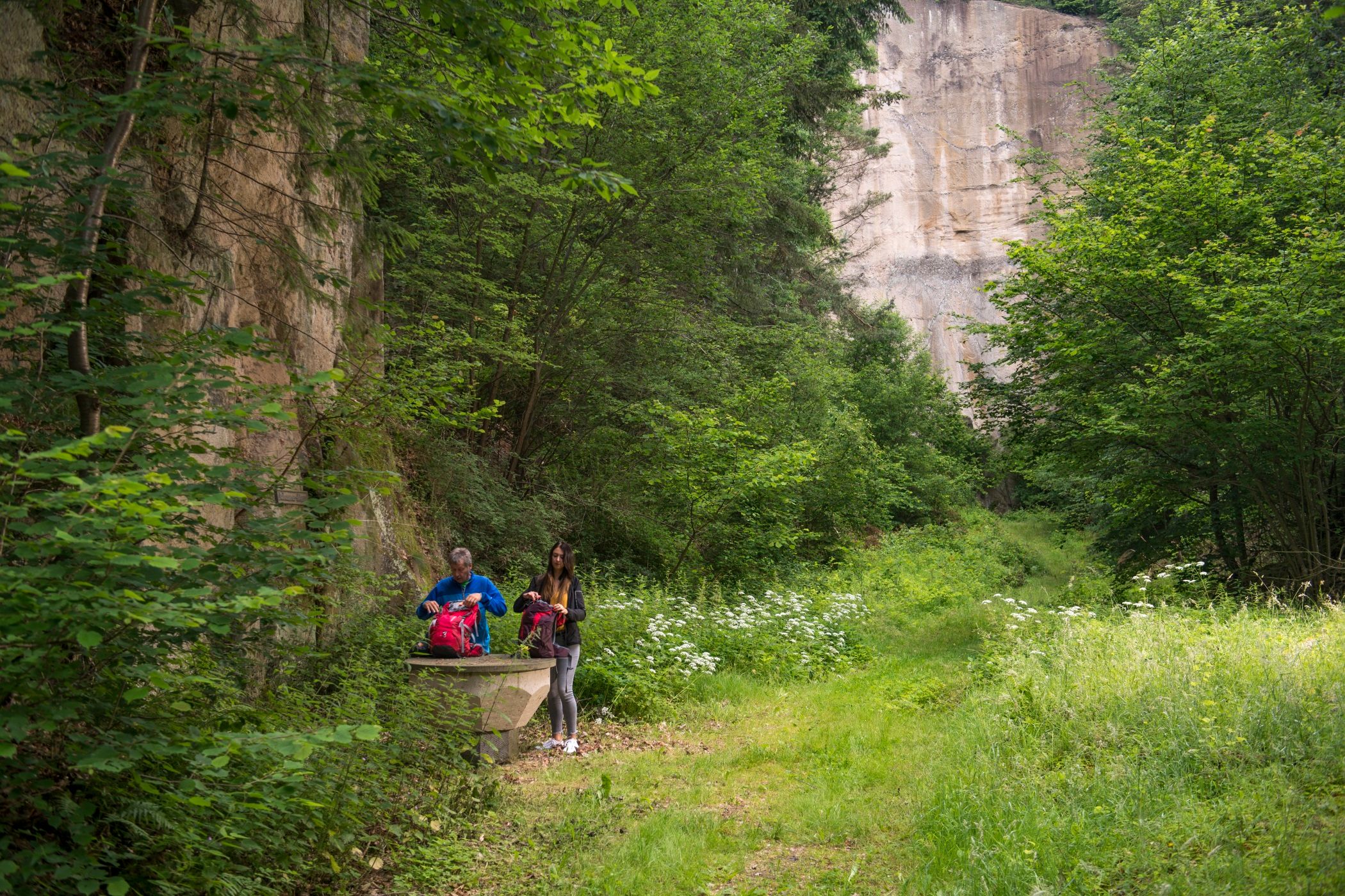
At the starting point, the geo-play garden introduces you to the geological eras represented in the region. From there, follow the sign towards Weibern, turn right after the road underpass and walk along the quarries into the village of Weibern. You will come to the L114 at a former stonemason's workshop. Turn right here and you will find the "Tufsteinschaufenster" at the entrance to the village. At the old quarry crane, turn left to the stone sawmill. From there, continue to the quarry "In den Lärchen" O2. You can then either walk over the Riedener Berg O3 and O4 to Weibern, or you can return to the village with its beautiful tufa houses and to the "Steinmetzbahnhof" (stonemason's station) O5, which is used as a tufa museum. Continue along the tufa road to Sandkaul. Follow the signposts on the black basalt stone towards Humersberg. Continue along field and forest paths to the Bernhardus Chapel. Turn right before the chapel and follow the markings. In Kempenich, walk along the country road towards Bad Neuenahr and turn right after approx. 150 m. A detour to a phonolite outcrop is possible via steps. At the top, after a few meters, a bridge leads over the main road, keep left, cross the road and walk along field paths with striking rows of trees to the sand pit in Engeln. After the loop through the Engelner Kopf forest, turn back towards the train station in the village.
You can also find a detailed description with background information on the website of our volcano park guide Konrad Friedgen: https://profirouten.de/eifel/geopfad-route-o-tuffsteinweg
