RWE-Route Mötsch
Description
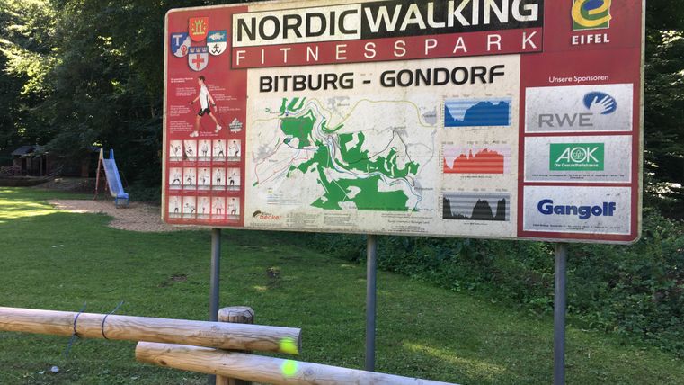
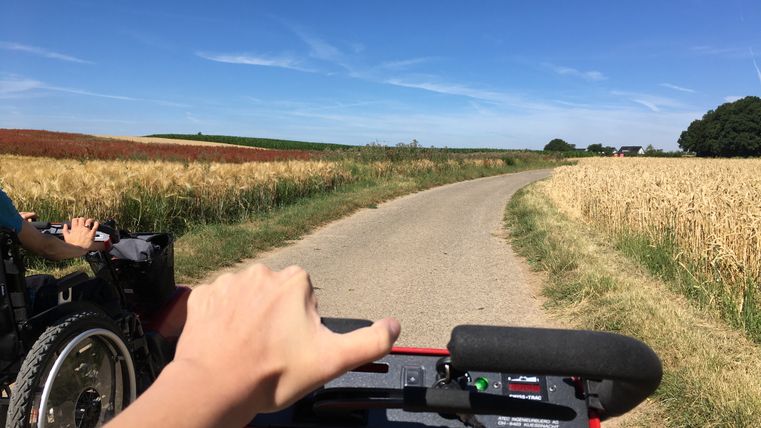
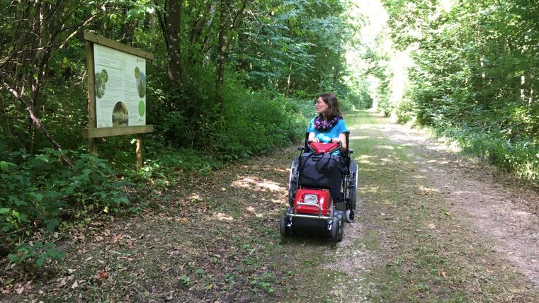
Small route of the Nordic Walking Fitness Park Bitburg-Gondorf. The circular route is possible with wheelchair traction equipment.
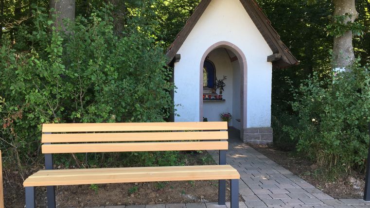
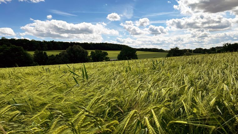
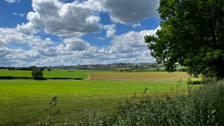
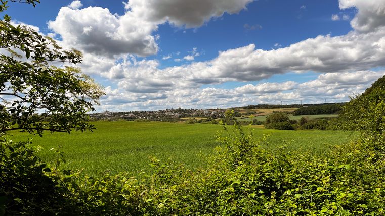
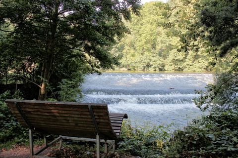
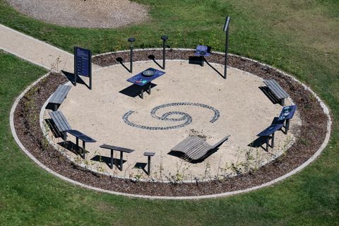
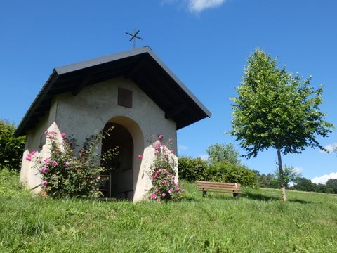
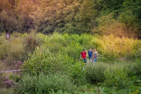
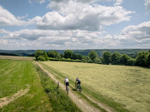
Leave everyday life behind and gather new strength in nature. The wind conjures up a relaxing rustle of tree leaves, the gentle sound is accompanied by birdsong, here and there panoramic views of the Eifel landscape can be enjoyed. On the 4 km long circular trail there is an opportunity to refresh and expand one's knowledge about trees and nature. A small chapel along the way invites you to pause for a moment, and the beer town of Bitburg greets you from a clearing in the distance.
The RWE route is the shortest route of the Nordic Walking Fitness Park in Bitburg-Mötsch. It leads along a level path, mostly through the forest.
The route is marked with BIT21.
Impressions
Further information
Travel-for-all information
Some information on accessibility are listed below. For detailed information please see the evaluation report.
- The circular trail has a total length of 4.2 km.
- The trail is also designated for bicyclists, skaters, etc., or equestrians.
- It runs for a length of 1,000 m on a road used by motor vehicles (business, forest or agricultural roads).
- The path is signposted. However, the signage is patchy.
- There is no information in easy language.
Some information on accessibility are listed below. For detailed information please see the evaluation report.
- The circular trail has a total length of 4.2 km.
- The path is signposted. However, the signage is patchy.
- The trail is also designated for bicyclists, skaters, etc., or equestrians.
- It runs for a length of 1,000 m on a road used by motor vehicles (business, forest or agricultural roads).
Some information on accessibility are listed below. For detailed information please see the evaluation report.
- The circular trail has a total length of 4.2 km.
- The path does not have a continuous visually contrasting or tactilely detectable sidewalk boundary.
- The trail is also designated for bicyclists, skaters, etc., or equestrians.
- It runs for a length of 1,000 m on a road used by motor vehicles (business, forest or agricultural roads).
- The path is signposted. However, the signage is patchy.
- The signage is designed in clearly legible and contrasting font.
- Information is not available in Braille or prismatic font.
Some information on accessibility are listed below. For detailed information please see the evaluation report.
- There is a marked parking lot for people with disabilities at the starting point of the trail.
- The circular trail has a total length of 4.2 km.
- The path is step-free.
- The path is at least 220 cm wide throughout and in some parts it is not easy to walk and drive on (asphalt, water-bound surface, forestry roads, partly gravel).
- It has several slopes and inclines. The largest incline is 10% over a length of 90 m (slope). The longest section with slopes is 120 m long, the slopes are 6% (inclines and declines). There are also cross slopes of up to 5%.
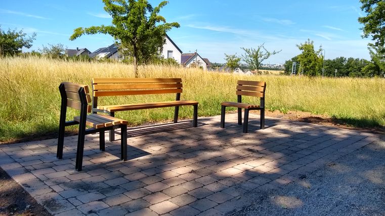
- There are seats available.
- The path is signposted. However, the signage is patchy.
- The trail is also designated for bicyclists, skaters, etc., or equestrians.
- It runs for a length of 1,000 m on a road used by motor vehicles (business, forest or agricultural roads).
- There is no WC on the trail.
- The Tourist Information Bitburger Land rents Swiss Tracs and a wheelchair. Details can be found on the website of the Tourist-Information Bitburger Land.
- Certified in the period: September 1, 2023 to August 31, 2026
