Description
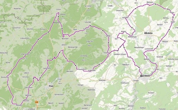
Discover the Gerolsteiner Land holiday region and neighbouring regions on a challenging 124 km road bike marathon route with numerous highlights.
The 50 & 90 km routes are not enough for you to burn off energy? Then the 124 km marathon is just right for you. On this route you will get to know the Gerolsteiner Land vacation region and the neighboring regions with all their highlights!
You can get an overview of the route here:
Gerolstein - Pelm - Bewingen - Dohm- Lammersdorf - Walsdorf - Kerpen - Flesten - Wiesbaum - Birgel - Lissendorf - Oberbettingen - Basberg - Auel - Scheuern - Duppach - Steffeln - Schönfeld - Reuth - Neuenstein - Ormont - L20 Schneifelhöhenweg - Brandscheid - Pittenbach - Watzerath - Weinsfeld - Steinmehlen - Niedermehlen - Gondenbrett - Wascheid - Willwerath - Gondelsheim - Schwirzheim - Duppach - Roth - Gerolstein
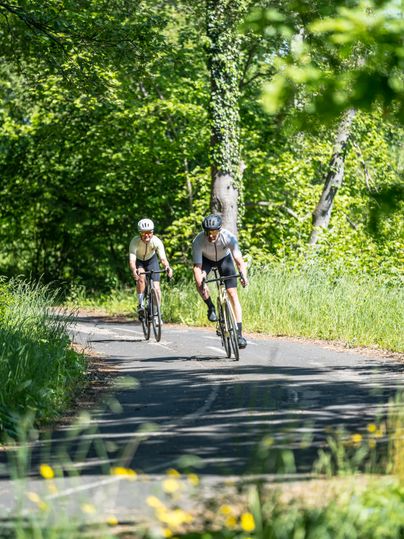
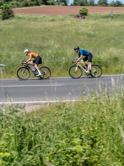
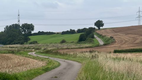
Impressions
Further information
Watch out for traffic! This tour takes you along busy country roads.
For tips on the tour, such as places to stop for refreshments and places of interest along the route, please contact our Tourist Information Office, Bahnhofstraße 4, 54568 Gerolstein
Directions
Please use the navigation-enabled start address in the Parking section to enter it in your navigation device.
Parking
P1 Town centre, 54568 Gerolstein
Public transport
Travel by DB to Gerolstein station on the Cologne - Trier Eifel railway line. Bikes cannot be taken on the buses
Tourist-Information Gerolstein
Bahnhofstraße 4
54568 Gerolstein
