Panoramaweg in Kirchwald /Eifel
Description
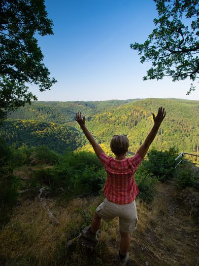
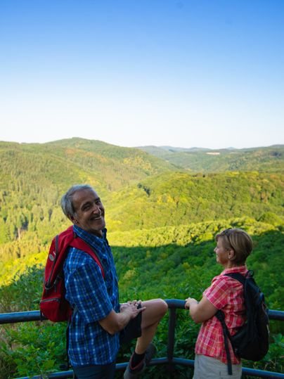
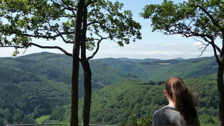
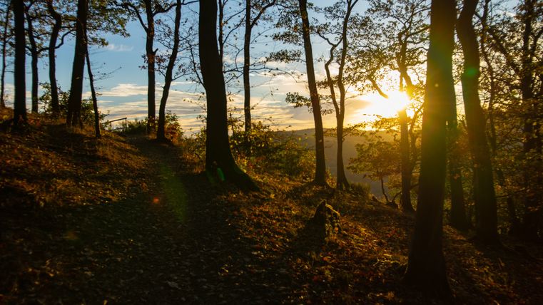
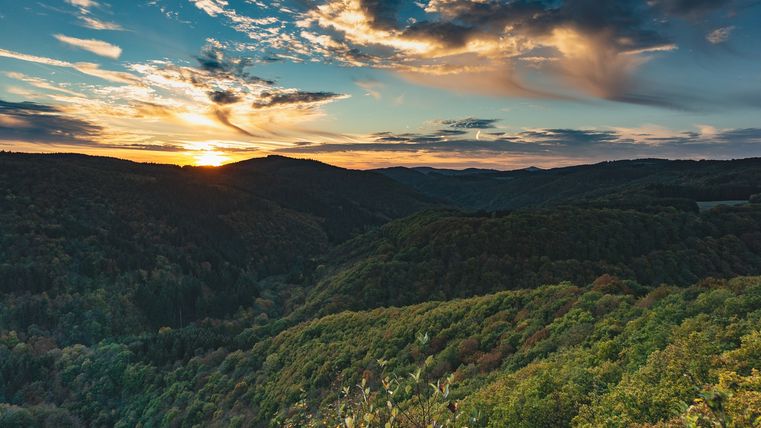
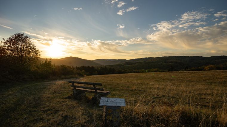
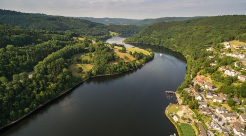
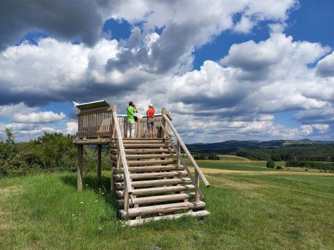
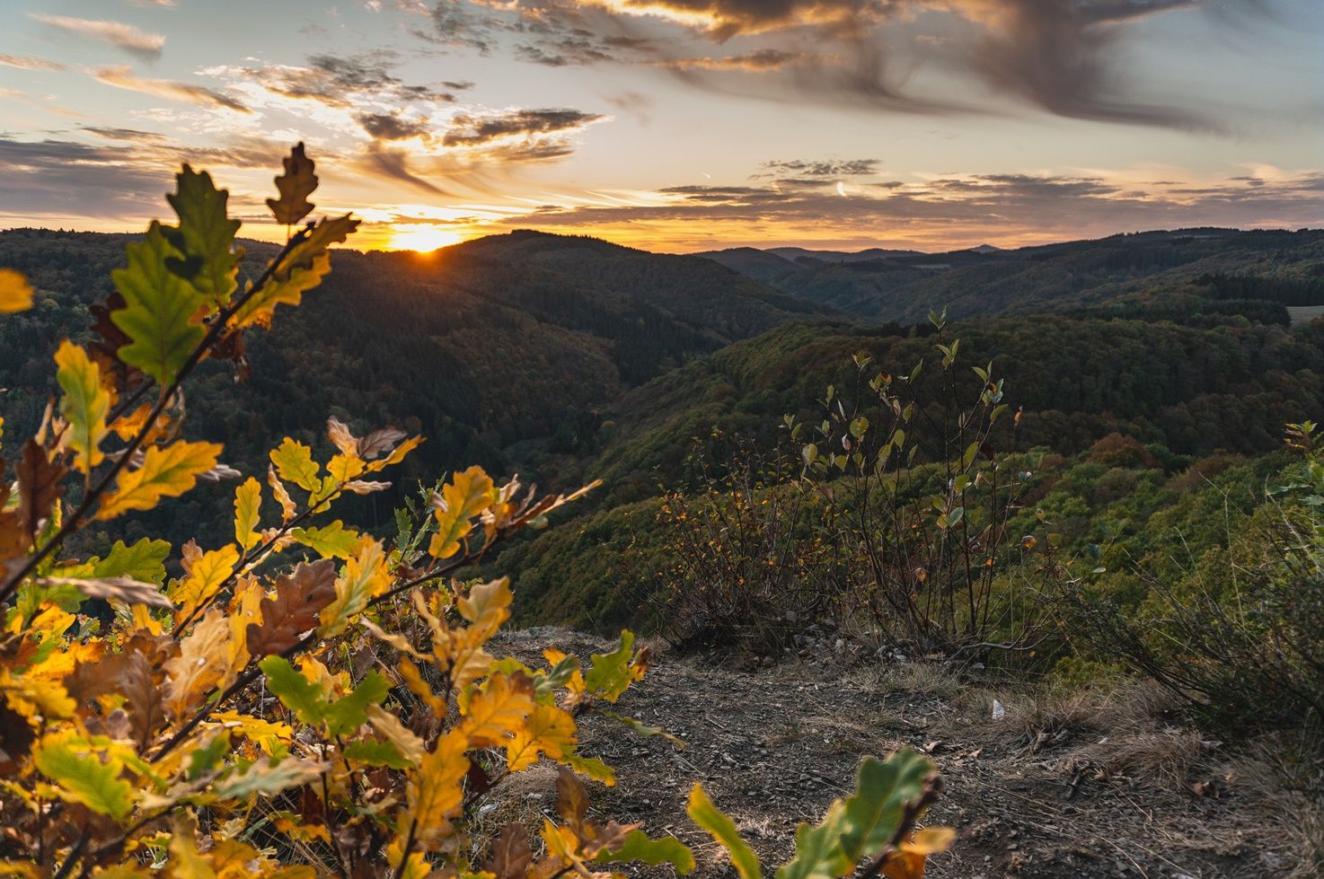
The Panorama Trail - a trail that lives up to its name! You can enjoy a wonderful, unobstructed view of the Eifel landscape along almost the entire length of this circular hiking trail. In good weather, you can even see as far as the Hunsrück, the Taunus and the Westerwald. The Panorama Trail is a good route for a relaxed and easy Sunday hike due to the low elevation gain and the many benches that invite you to linger.
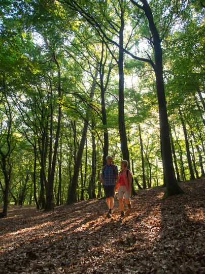
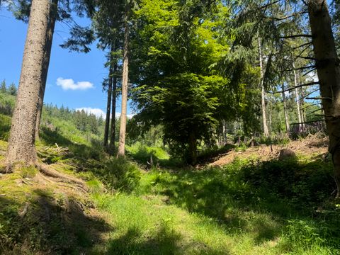
The panoramic trail begins at the village square in Kirchwald and leads past the parish church of St. Dionysius and the cemetery to Kirchstraße and the edge of the village. There you can enjoy your first view over the Nettetal valley to the Gänsehals. From here, the route continues in the direction of Mohrsberg. This is characterized by a dense stand of junipers. At the foot of the Mohrsberg is a little hut dedicated to St. Roch and the Virgin Mary. This gem offers a welcome opportunity to take a break. The route continues through deep green forests in the direction of Nitzblick. This can be reached via a forest path behind the barbecue hut located there. There you can enjoy a majestic panoramic view over the valley of the Nitz, which has carved its way into the rugged rocks over the centuries, as far as the Hohe Acht, the highest mountain in the Eifel. If you can take your eyes off this view, continue on to the Steinbüschel with another fantastic panoramic view in the direction of Kürrenberg. From there, a paved path leads you back to the village. The elevations of the Hochsimmer, Hochstein and Sulzbusch accompany you on the way. Along the edge of the village you return to the village square.
The panorama trail has been newly signposted with arrow signposts and kilometer markers as well as location plaques - similar to the signposting of the dream trails and dream paths in the region.
For navigation via gpx track, we recommend using the Rhineland-Palatinate Tour Planner app.
After downloading the app and clicking on the gpx track on this page, the correct route will automatically open in the app. By tapping on the three dots at the top right of the app display and confirming by clicking on the "Save offline" tab, you can navigate the route even without network reception.
Only stay on the marked paths.
Especially in the fall, be aware that leaves lying on the ground can hide bumps, roots, etc. on the path.

