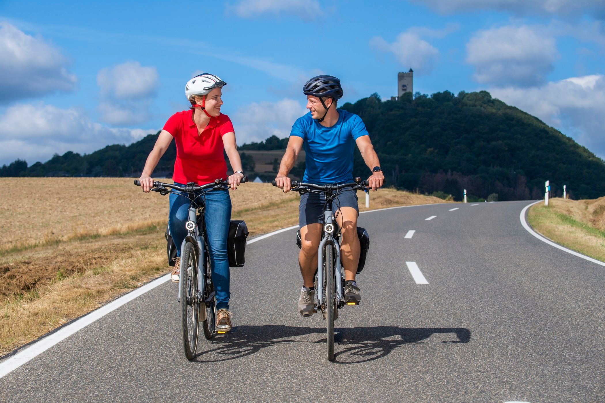
Brohltalradweg
Description
Engeln - Niederdürenbach Hain - Oberzissen - Niederzissen - Vinxtbachtal: Waldorf - Bad Breisig - Brohl (green route) or Niederzissen - Brohltal: Burgbrohl - Brohl (yellow route) Discover the Brohl valley... The 32 km long cycle route leads from Burgbrohl to Hohenleimbach and is uniformly signposted with green lettering on a white background. In addition, there is a route pictogram that refers specifically to the Brohl Valley cycle path.
The 32 km long cycle path leads from Burgbrohl to Hohenleimbach and is signposted in green lettering on a white background. In addition, there is a route pictogram that refers specifically to the Brohl Valley cycle path.
A tour in combination with the Vulkan-Expreß is recommended.
This runs from Brohl to Engeln and allows you to take your bike with you free of charge. Once you arrive in Engeln, it is a wonderful ride back downhill to the Rhine.
Cycle tour Engeln - Brohl
From Engeln station, cycle uphill to Engeln, then continue straight on until you reach a height where you turn right and follow the sign "Buchhöfe". After 200m, turn onto a tarmac path that leads straight into the forest, downhill towards Hain. At the fork in the road at the entrance to the village, turn right into Sonnenstraße, keep right at the first fork in the road, keep right at the next junction and continue straight on at the next junction until you reach the K 51. Now turn right down the hill until the Ringstraße branches off to the right at the entrance to Oberzissen. After 1 km, turn left at the crossroads, cross under the railroad bridge and follow Bachstraße downhill to the end. Now continue left, following the signs to Brohltalhalle. After 1km, turn left onto Arweg, which leads into Niederzissen, turn right past the tourist information office. 300m further on, follow Mittelstraße at the fork in the road and then turn into Horststraße behind the church, which bends left after 200m and finally ends at the B412. Turn right here, cross the road opposite the petrol station and follow the access road to the station to the left.
Here you have two options for continuing to Brohl/Rhine:
Continue through the Vinxtbach valley
The Vinxtbachtal route, which is almost entirely downhill, begins with a 600m climb. From Niederzissen station, you cross the parking lot to the other side of the tracks. At the crossroads, turn left onto the road and after 800m turn left onto the field path. After a good 1km, you pass under the highway and follow the gravel path down to the L82. Turn left and follow the main road through the village for another 250m until you reach the center of Waldorf on Königsfelder Straße on the right. The L87 continues to Gönnersdorf, from where you still have 4km to Bad Breisig. From there you cycle along the Rhine to Brohl.
Continue through the Brohl valley
From Niederzissen station, cross the parking lot to the other side of the tracks. After a good 100m, a gravel path branches off to the right onto Geisbergstraße, which runs alongside the railroad line. After just under 1.5km, turn left onto the B412. After 600m, turn right over the tracks at the bus stop opposite the house at Brohltalstraße 243. Now follow the main road in the Weiler district. Continue right into Jahnstraße, which leads over a hill and ends after 700m at Bachstraße. After 600m, turn left at the crossroads and descend steeply down the hill. When you reach the main road, turn right into Kirchstraße, which leads down to Brohltalstraße. On the other side, the route climbs up the slope a little and then crosses the tracks. On the right, Lindenstraße leads past Burgbrohl station until you pass under a bridge on the right at the end. Now turn left onto the B412 to Brohl.
