Barrierefreier Komfort-Wanderweg Zemmer/Rodt
Description
Barrier-free comfort hiking trail Zemmer/Rodt
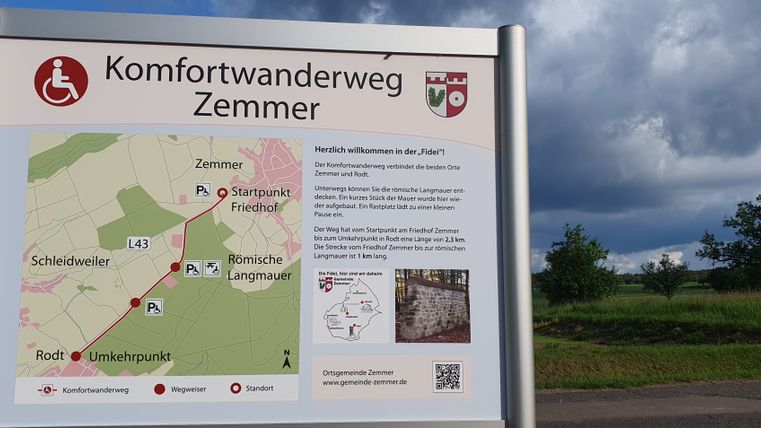
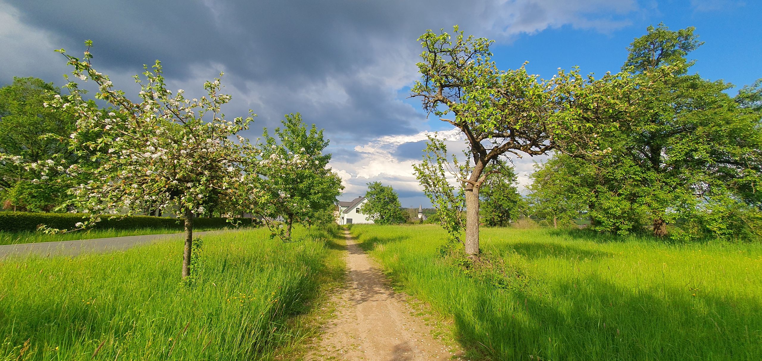
The pedestrian connecting path between the municipality of Zemmer and the district of Rodt begins at the parking lot of the Zemmer cemetery.
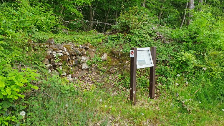
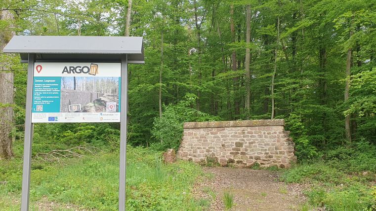
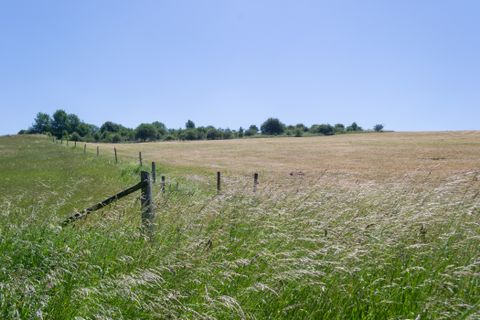
The barrier-free spur trail between Zemmer and Rodt is located in the immediate vicinity of the Eifelsteig trail and leads along fields and meadows at the edge of the forest. On the way, the hiking trail not only meets a section of the Roman long wall, but also the forest adventure trail.
Impressions
Travel-for-all information
We have compiled some information on accessibility below. Detailed information can be found in the test report.
- It is not a circular route. The one-way route is 2.2 km long.
- The trail is car-free, but also designated for other user groups (cyclists, skaters etc. or horse riders).
- Roads used by motor vehicles must be crossed (urban speed limit 50 km/h, forest road). Some of the crossings are unsecured.
- The route is clearly, uniformly and consistently signposted (pictograms).
- There is no information in easy language.
We have compiled some information on accessibility below. Detailed information can be found in the test report.
- It is not a circular route. The one-way route is 2.2 km long.
- The trail is car-free, but also designated for other user groups (cyclists, skaters etc. or horse riders).
- Roads used by motor vehicles must be crossed (urban speed limit 50 km/h, forest road). Some of the crossings are unsecured.
- The route is clearly, uniformly and continuously signposted.
We have compiled some information on accessibility below. Detailed information can be found in the test report.
- It is not a circular route. The one-way route is 2.2 km long.
- The path has no visually contrasting or tactilely detectable footpath boundaries.
- The trail is car-free, but also designated for other user groups (cyclists, skaters etc. or horse riders).
- Roads used by motor vehicles must be crossed (urban speed limit 50 km/h, forest road). Some of the crossings are unsecured.
- The route is clearly, uniformly and continuously signposted.
- The signage is designed in clearly legible and high-contrast lettering.
All test-relevant areas meet the quality criteria of the "Accessibility tested - partially barrier-free for people with walking disabilities and wheelchair users" label.
We have compiled some information on accessibility below. Detailed information can be found in the test report.
- There is a marked parking area for people with disabilities at the Zemmer cemetery (starting point of the hiking trail), at the Roman long wall and along the rest of the trail.
- It is not a circular route. The one-way route is 2.2 km long.
- The path has no steps and is at least 200 cm wide.
- The path is easy to walk and drive on (water-bound surface).
- There are several inclines and declines; in between there are flat sections. The steepest gradient is 6% over a length of 8 m. The longest section with an incline is 400 m long and has a gradient of 4%.
- The hiking trail is car-free, but is also designated for other user groups (cyclists, skaters etc. or horse riders).
- Roads used by motor vehicles must be crossed (urban speed limit 50 km/h, forest road). Some of the crossings are unsecured.
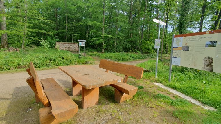
- Seating is available.
- The route is clearly, uniformly and continuously signposted.
- Certified in the period: December 1, 2023 to November 30, 2026
- Accessibility checked


