
Copyright: Rursee-Touristik GmbH
Wanderparkplatz Finkenauel Erkensruhr
Simmerath
From the hiking car park at the village community center in Erkensruhr, you can access two local circular hiking trails as well as various hikes in the Eifel National Park.
65 - Dorfrundgang Erkensruhr
75 - Püngelbach
Directions by car
Erkensruhr 26
52152 Simmerath-Erkensruhr
Coordinates for the navigation system:
50 ° 34′04.8 "N 6 ° 22′15.4" E
65 - Dorfrundgang Erkensruhr
75 - Püngelbach
Directions by car
Erkensruhr 26
52152 Simmerath-Erkensruhr
Coordinates for the navigation system:
50 ° 34′04.8 "N 6 ° 22′15.4" E
Impressions

Contact
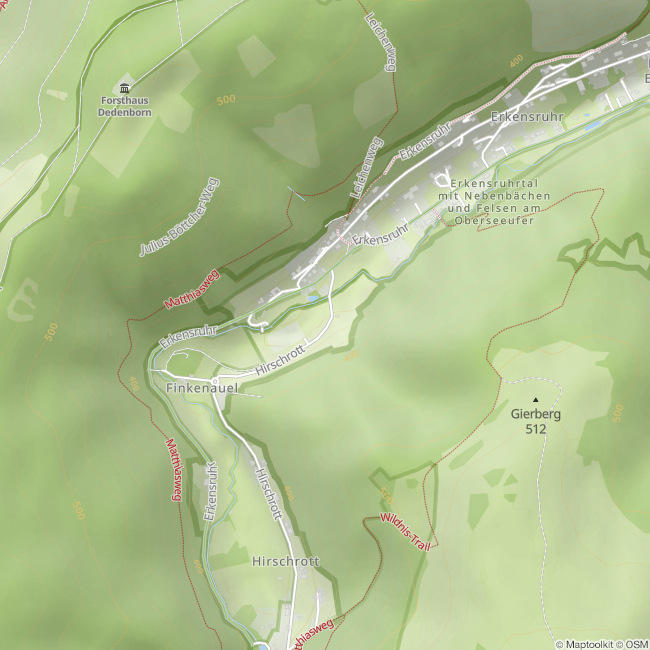
Wanderparkplatz Finkenauel Erkensruhr
Finkenauel
52152 Simmerath-Hirschrott


