
Simonschacht
Stolberg
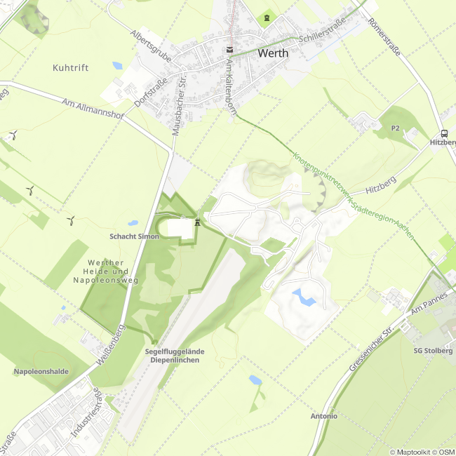
Collapsed Shaft "New Simon"
In the background, a funnel-shaped crater several meters in diameter and depth can be seen. This is a collapsed shaft of the operating point "New Simon" (red circle). As can be seen in the adjacent mining image, a trial tunnel was driven further east from the main operating point Diepenlinchen starting around 1871, in the hope of finding more ore nests and levels.
In 1872, a small ore nest was found northwest of this point (red box on the map), which appears to have already been mined by 1875. In 1877, further but non-minable deposits were discovered to the south of this point (small blue box). Between 1881 and 1883, deposits were found beneath the crater located here. All of them seem to have been non-minable, which is why another claim below the 63 m (31 fathoms) level was evidently not pursued. With the exception of the first mentioned shaft, which is marked as a "ventilation shaft," all other shafts are unnamed.
The shafts marked with the blue box intersect a drainage ditch that diverts water above the trial tunnel to the Vicht (approximately 4.5 km away) using the Widtmann Tunnel during heavy rain.
Shaft Collapse: This term refers to the often sudden failure of the shaft filling in filled shafts. This is often recognized at the surface by the outline of the former shaft or a funnel-shaped crater forms.
Usually, unsuitable backfill or debris was used, which was poured over stages secured to the shaft. Due to failure of the support, the backfill column shifted, or the cover plate collapsed, as happened here.
(Text: Jens Mieckley)
Impressions


Contact
Montanhistorischer Rundweg
52224 Stolberg


