
Hastenrather Graben
Stolberg
Result of tectonic faults and dislocations
The depression here, the "Hastenrather Graben", is not just a valley through which the Omerbach flows. This depression was not created by erosion caused by the Omerbach. Rather, it is the result of tectonic disturbances and faults, i.e. interruptions in the undisturbed strata caused by rock movements.
The Hastenrather Graben is bounded to the north-east by the Omerbach fault and to the south-west by the Sandgewand fault. Between these two faults, the Hastenrather Scholle has subsided on average approx. 40 m to 60 m compared to the level of the surrounding area over an area of 0.5 km2. Like almost all faults in the area, these are extremely water-bearing and represented a significant obstacle for local mining, as they could not be penetrated (water inflow).
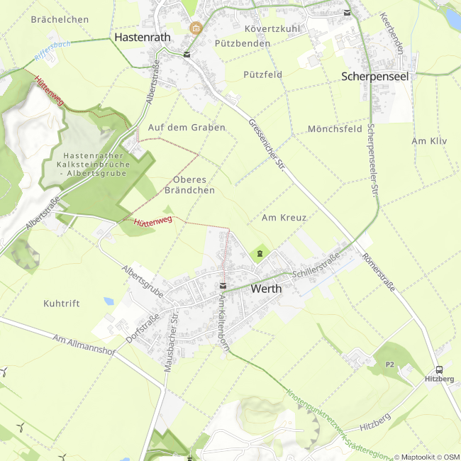
Of the elevations visible on the opposite side, the "Im Korkus" field is of interest. In the wooded area (far left in the picture) there is an ancient limestone quarry complex where the remains of the "Zur Guten Hoffnung" mine can still be seen, namely the brick ruins of the winding tower and the ventilation shaft. An iron mine was opened here in 1880, but it was closed again in 1884 after a mine field was discovered that had already been exploited in ancient times, with some of the tunnels still in very good condition. These ore tunnels could be traced as far as Hamich and Wenau. The field name "Im Korkus" appears to be a corruption of "Im Kakus". Kakus/Cacus was a fire-breathing giant and son of the Roman god Vulcanus. It is possible that the name of the neighboring Eschweiler district of "Volkenrath" is derived from "Vulcanus". As the local ending "-rath" in places goes back to clearings, Volkenrath would be the former settlement "clearing of Vulcanus". Another theory links the name Korkus with the Indo-European word stem *korko = swamp. The "Hastenrather Graben" water catchment system, consisting of 6 wells built between 1957 and 1967, is also located in this area. Hastenrather wells 3 to 6 still supply Eschweiler with drinking water today. Further towards Hamich (center) is the Gressenicher Mühle, which was first mentioned on a map of the Kornelimünster Imperial Abbey in 1646. The mill was built as a grain mill. However, operations were discontinued in 1930. Today the mill is privately owned.
Shortly before Hamich, a striking mound can be seen: the Atzenau spoil tip. The CRS slag (lump slag from ferrochrome production) produced at the Weisweiler electrical plant is dumped here. The groundwater in the area of the slag heap is regularly sampled and analyzed and shows no abnormalities.
(Text & photo material: Jens Mieckley)
Impressions


Contact
Montanhistorischer Rundweg
52224 Stolberg


")