Felixschacht
Stolberg
Shaft of the Zufriedenheit Mine
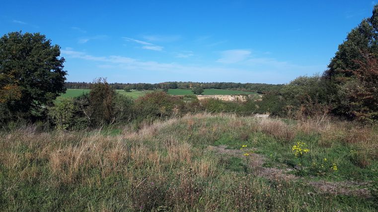
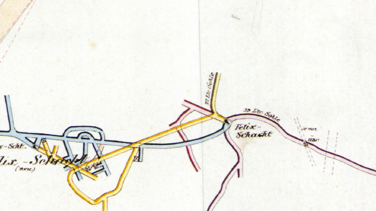
This is the location of the so-called Felix Shaft. Mining took place here on three levels at a relatively shallow depth (up to about 80 m). In addition to the main shaft, there was also an experimental shaft and the Felix Shaft (new), though no above-ground remnants of these are visible today.
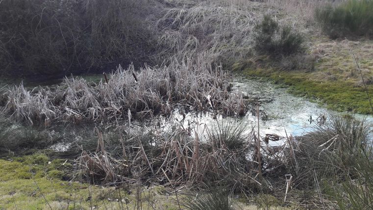
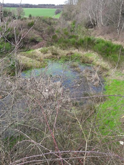
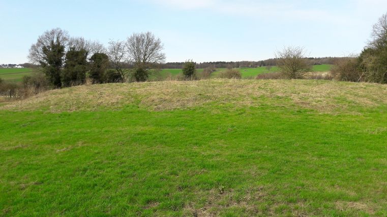
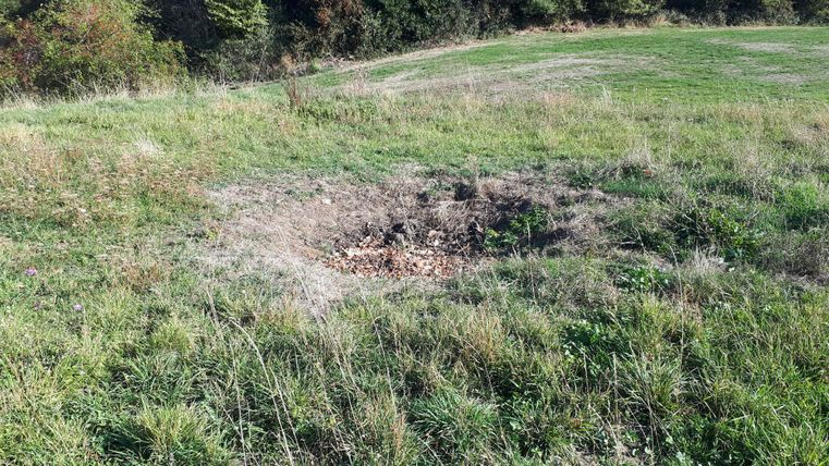
At the Felix Shaft, the so-called hanging wall is clearly visible; a slight depression in its center indicates the actual shaft. There are no known records regarding the Felix Shaft, so it can only be inferred indirectly from the mine’s layout that this area must date from the mine’s early days, as the depth is still given in Lachter rather than meters.
A Lachter (equivalent to 2.09 m) is an old mining unit of measurement that was replaced by the metric system in Prussia in 1872. Furthermore, the mine map suggests that the Felix (New) Shaft did not encounter any deposits worth mining, as no adits branch off from it. The Felix Shaft was part of the original “Zufriedenheit” concession, which merged with the Albertsgrube in 1862.
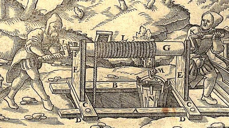
Hängebank: This term refers to the structure at the surface opening of a shaft where the transfer of ore from the shaft to above-ground transport takes place.
The term originates from pre-industrial mining and refers to the location where the hoist bucket is suspended into the shaft. The depth of the shaft is measured starting from the suspension bench.According to the “German Dictionary by Jacob and Wilhelm Grimm,” a “hängebank” is defined as “… the two long timbers of the uppermost square section of a drift shaft, over which the buckets are hooked in and out; …and therefore, more generally, the mouth of a shaft.”
When a shaft was constructed—as here at the Felixschacht—in the early days of mining, the ore was often dumped directly around the shaft opening. This created a circular spoil heap around the shaft opening.
It was only with the advent of steam engines that it became possible to bring the waste rock to the surface along with the mine cars and then transport it away more easily.
(Text: Jens Mieckley)
This route was developed as part of the LEADER-funded project “Quality Initiative for Hiking in Roetgen and Stolberg” with support from the European Union (EAFRD) and the state of North Rhine-Westphalia.
Impressions
Contact
Montanhistorischer Rundweg
52224 Stolberg