
Betriebspunkt IX Ravelsberg
Stolberg
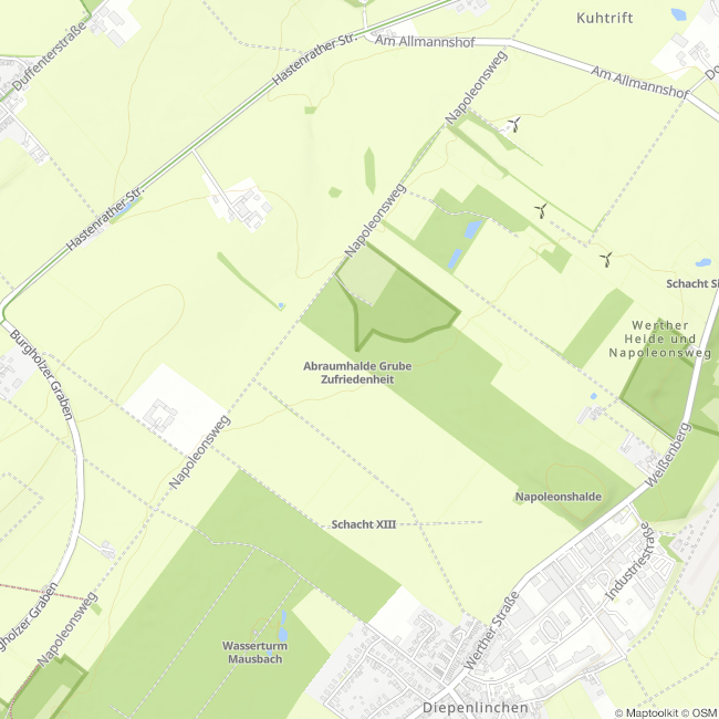
Operating point IX, machine house, tailings pile
This is the most recent operating point of the Diepenlinchen mine. Remains of the foundations of the Ravelsberg winding tower shown here and the adjacent machine house are still visible.
This operating point is the last shaft in a series of shafts that extend in a line to Binsfeldhammer. This part of the concession is not directly connected to the main Diepenlinchen mine and was only sunk to a depth of 200 m before the Diepenlinchen mine was closed down.
The old spoil tip rises up in the background. It and the neighboring Albertsgrube were the last to be mined. However, there were plans to resume mining until the 1930s. Both this operating point and the Albertsgrube cuckoo shaft are located opposite each other along the joint concession boundary.
As shaft "IX Ravelsberg" was sunk 70 m deeper than the cuckoo shaft, the Kuckucksgang mining area and the satisfaction of the Albertsgrube were also involuntarily drained via this shaft, which gave the Kuckucksschacht its name as the cuckoo child of shaft IX.
Mine dump: Mine dumps are the term used to describe the loose rock outcrops created by mining. However, the word "mountains" is not to be understood in a topographical sense, but is derived from the mining term for "waste rock", which also had to be brought to the surface ("salvaged") alongside the actual ore when driving the tunnels.
The spoil heaps of the ore mines in the area mostly consist of limestone and dolomite rubble, which is often used in road construction.
The neighboring tailings pile of the Zufriedenheit mine, for example, was completely removed and used to gravel and thus pave the Napoleonsweg, as well as this forest road to the operating point.
(Text: Jens Mieckley)
Impressions


Contact
Montanhistorischer Rundweg
52224 Stolberg


