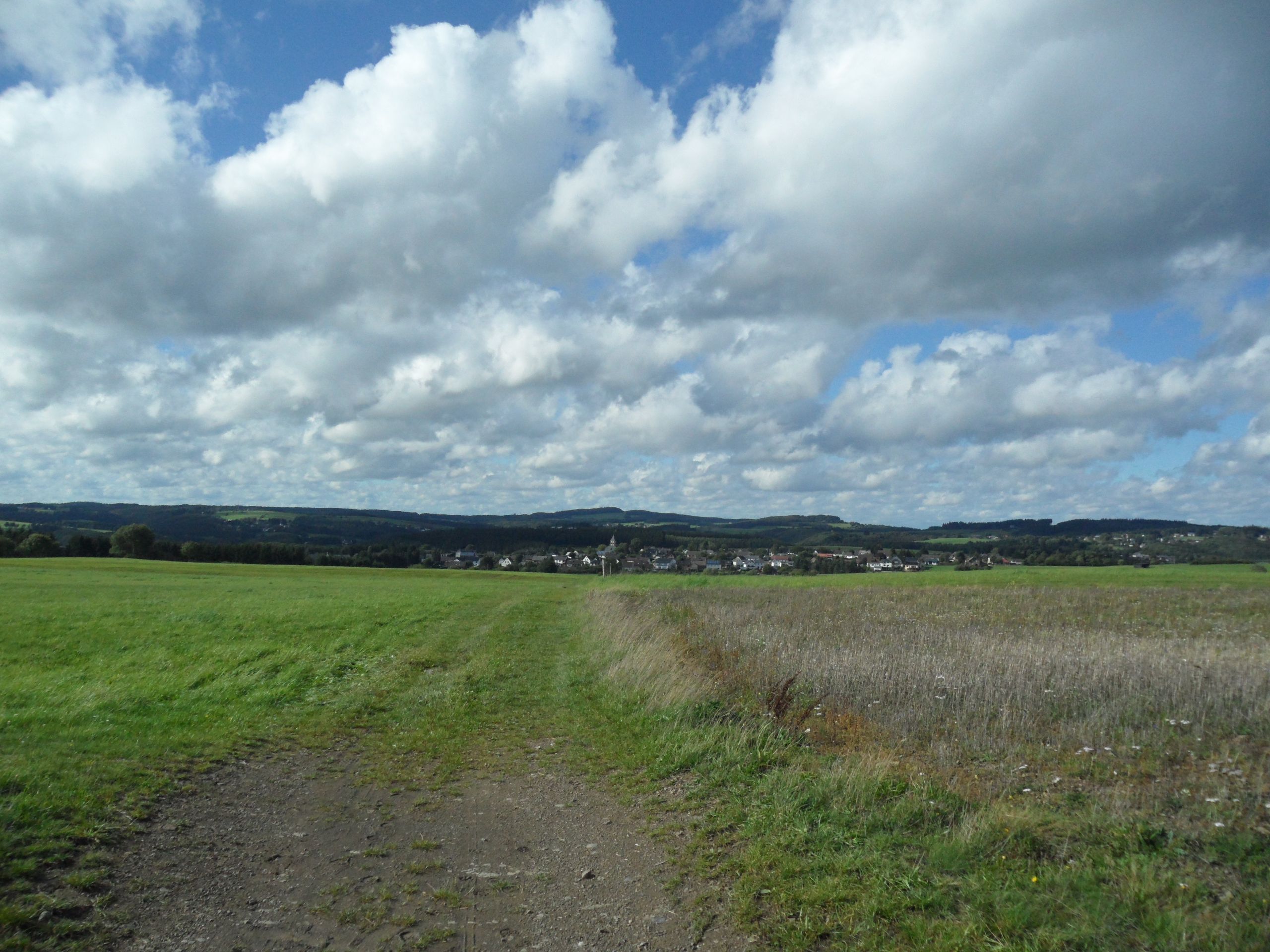
Rundwanderweg Nr. 4 "Schuld-Harscheid-Schuld
Description
Easy hiking trail from Schuld via Harscheid to Schuld
The starting point of our hike "Hiking trail Schuld - Harscheid - Schuld" is in the center of the village at the rest area under the lime tree by the Ahr bridge. From here, we walk into the "Deistig" district and follow the Ahrstraße and the AhrSteig markings to the right.
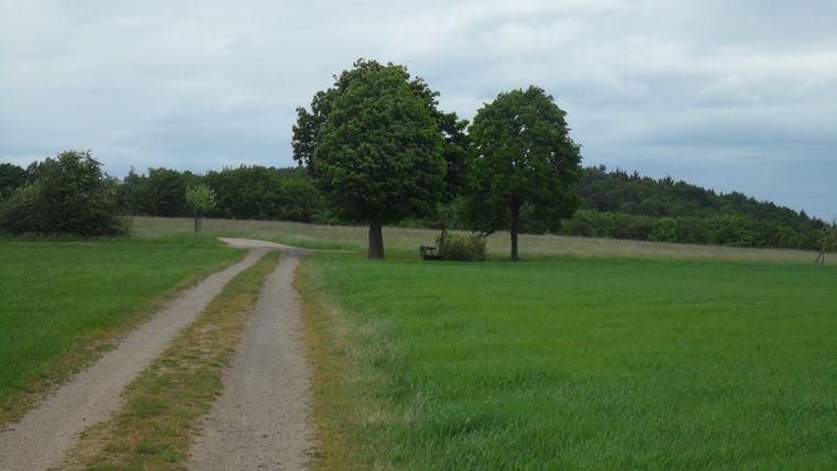
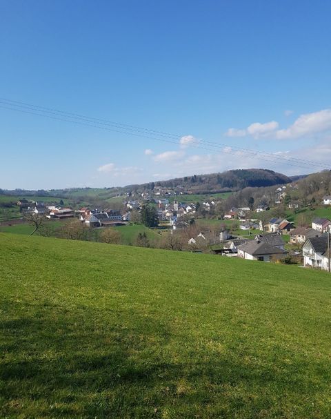
At the end of the Ahrstraße, a slightly ascending unpaved path leads us to the next crossroads. Here we leave the AhrSteig for the first time and continue left through the weekend area. After about 300 m, we take a sharp right turn and now walk 1.4 km slightly uphill to Harscheid. On the way, a bench invites you to take a break with a view of Schuld.
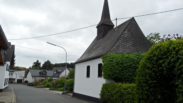
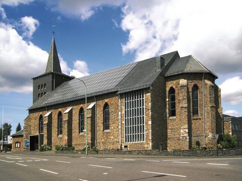
Below the first houses in Harscheid, we turn left and after about 50 m reach the district road, which we follow to the right until the crossroads. There we continue left - past the chapel - into the village and keep right at the next fork in the road. At the next crossroads, we continue right past a barn, leave the tarmac road and follow the path up to the left until we reach the ridge.
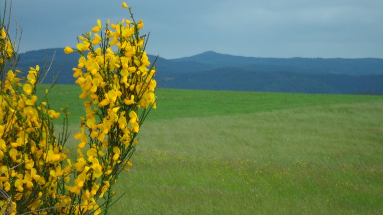
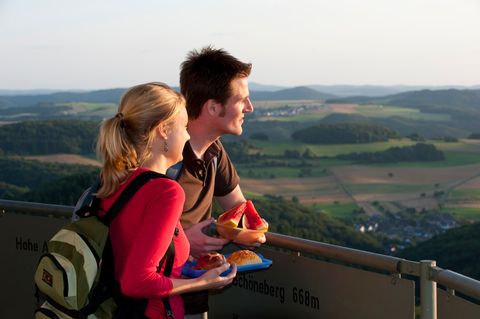
From here you have an all-round view: the Michelsberg to the north, the Aremberg to the west and the Hohe Acht to the south. We now follow the meadow path straight ahead, downhill towards Rupperath.
At the third crossroads, we turn left and stay on this path for quite a while. At the end, at the fork in the path, we keep left. After crossing a pine grove, we continue over the "Locherberg" past meadows and hawthorn hedges. At the next path, we turn left again and cross a small valley incision, which we follow - slightly uphill. The path leads us through the so-called "Eichholz", as the name suggests, past stands of oak and beech trees back towards Schuld.
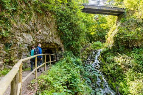
On the way, we also pass an information board, the GEOLOGIEPFAD Schuld, which now runs parallel to our route for a while. This "nature trail" is also highly recommended.
After crossing the "Eichholz" district, we come to a tarred farm track, which we follow downhill. After approx. 250m, we turn right onto a forest path that leads us to the Martinshütte. The place invites you to linger, as from up here you have one of the most beautiful views over the village of Schuld and its surroundings. After a long rest, we reach the district road between Schuld and Harscheid via the road below. We follow this downhill until we reach a sharp left-hand bend.
We now turn right and immediately behind the crash barrier take the path down into the village. After approx. 150 m, take a short detour to the lookout tower there, from where you can see the "Am Bahnhof" district as well as the "Branderholz" and "Bubenley" districts. We continue downhill to Martinshöhe, which we follow further down the valley. On the district road, we first turn right and then straight ahead at the next right-hand bend through Martinstraße and the "Deistig" district back to the starting point.
