Rundwanderweg Nr. 3 "Schuld-Sierscheid-Harscheid-Schuld"
Description
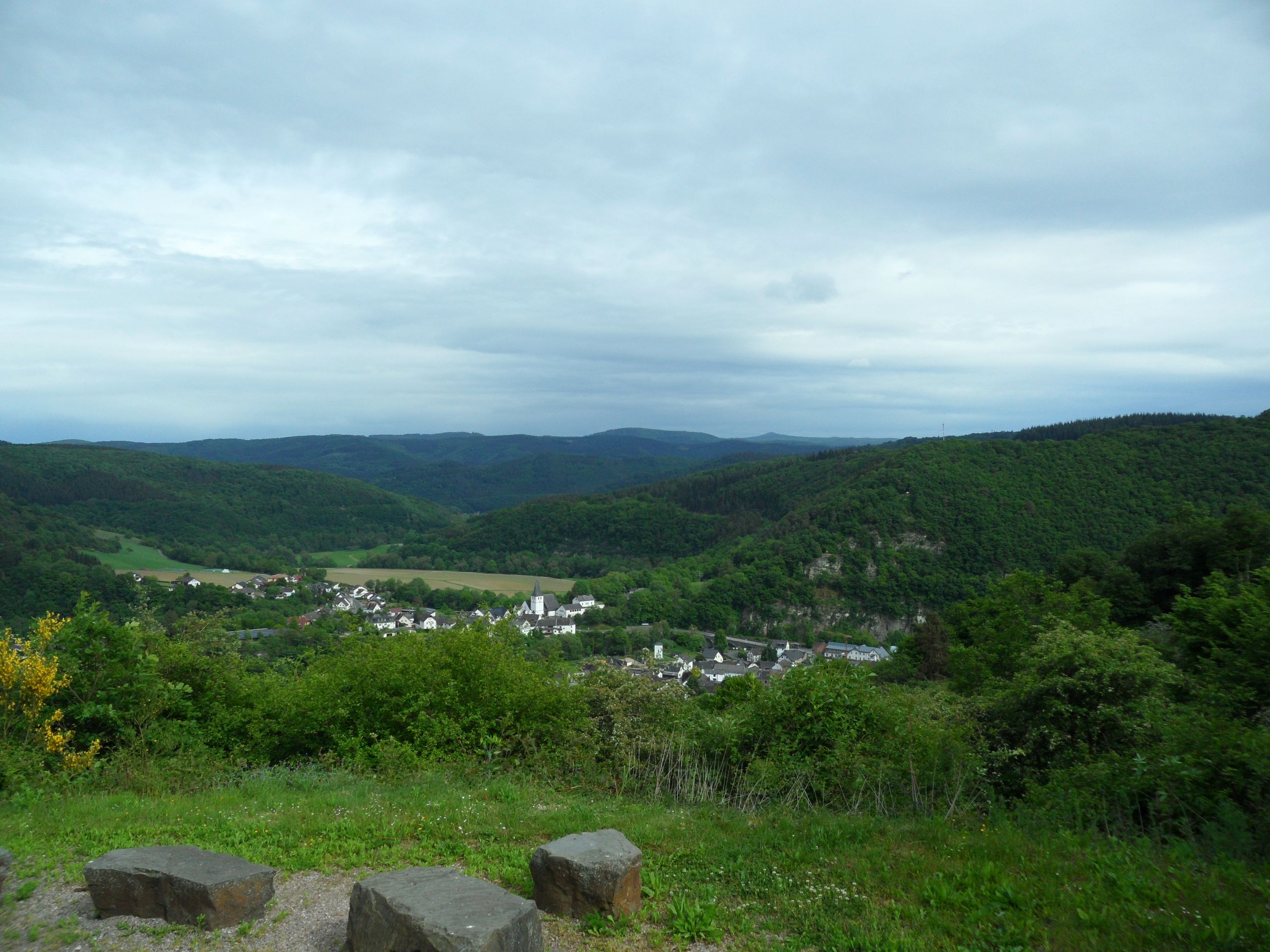
Panoramic circular hiking trail over the heights of Sierscheid and Harscheid
We start our hike "Around Schuld" in the center of the village at the bridge at the rest area by the lime tree.
We first follow the footpath over the bridge in the direction of the church and then turn into Domhofstraße between "Hotel Schäfer" and "Hotel zur Linde". After about 150 meters, we take the steep sidewalk to the right and reach Domhofstraße, which we follow to the right over the bridge and behind it into Römerstraße to the left until the sharp left-hand bend. Here we continue straight ahead for a while until we reach the "AhrSteig ", which we follow for a while. The path initially leads us steadily uphill through the "Am Holzpöch" and "An der Bellesheck" districts and at the top - after crossing the stream - continues to the right through the "Im Holz" field.
At the next crossroads, take the left-hand path uphill through deciduous and fir forest.
Where the forest ends and the village of Insul becomes visible on the right, we turn left onto a meadow path that leads steeply uphill along the edge of the forest.
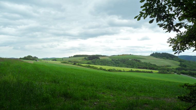
Before the forest engulfs us, it is worth taking a short breather to enjoy the magnificent view of the village of Insul and the Ahr valley. The trail continues uphill, following the path.
After approx. 600 m, the forest path ends and continues between the edge of the forest and meadows towards Sierscheid. On the right, you can already see the first rooftops of the village, which lies in a small hollow.
On the right, you can see the "Dümpelhard" with its two transmission towers. As we continue towards Sierscheid, you can also see Nürburg Castle in the distance on the right.
We have now left the forest area and head left towards a group of three trees with a bench for a short rest.
After a rest, we continue straight ahead and leave Sierscheid behind us. Passing the cemetery, we come to a district road, which we follow to the left for a short distance until we reach a bend.
There we turn right and follow the path uphill past a hunting lodge. At the top, we stay on the path which continues to the left and finally leads back onto the district road.
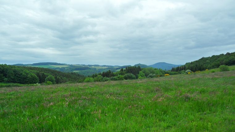
We now follow this road to the right for 140 m before turning left onto the meadow path. We continue down the valley, past the Haag. Once we reach the crossroads, we continue to the right, past meadows and hawthorn hedges around the "Weilskopf" to Harscheid. At some points along the way, you have a wonderful view over the Eifel landscape and Schuld.
After a few hundred meters we reach Harscheid. We continue slightly downhill to the left below the houses until we reach a fork in the path. Here we continue straight ahead uphill for a short distance to the valley road.
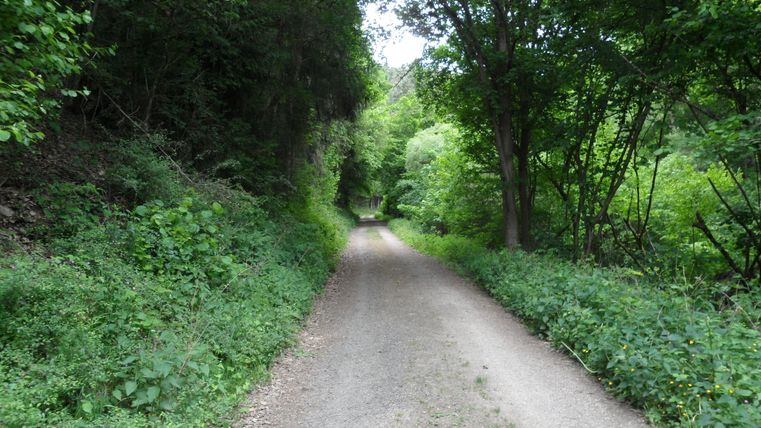
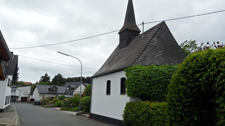
We follow this road to the right until we reach a crossroads. There we continue left - past the chapel into the village - and keep right at the next fork in the road. At the next crossroads, we go straight ahead and hike back over the ridge towards Schuld. The path later turns into a tarmac farm track, which we follow further into the valley.
On the way, we leave the paved path to the right and follow the sign "Zur Martinshütte". After 250 m, we reach the Martinshütte via a forest path, which naturally invites us to take a break and once again offers a beautiful view over the village. The road takes us down to the district road between Schuld and Harscheid. We follow this road downhill until we reach a sharp left-hand bend.
We now turn right and immediately behind the crash barrier take the path down into the village. After approx. 150 m, we take a short detour to the lookout tower there, from where we can see the "Am Bahnhof" district as well as the "Branderholz " and "Bubenley " districts. The route continues downhill to Martinshöhe, which we follow further down the valley.
On the district road, we first turn right and then straight ahead at the next right-hand bend through Martinstraße and the "Deistig " district back to the starting point.
