Description
A circular route around the "Bleiberg" with a view of the Mayen-Nitztal district
Due to the expansion of the wheelchair hiking trail, restrictions must be expected in the area of the wheelchair hiking trail and therefore also the Reiningweg from mid-April to mid-June.
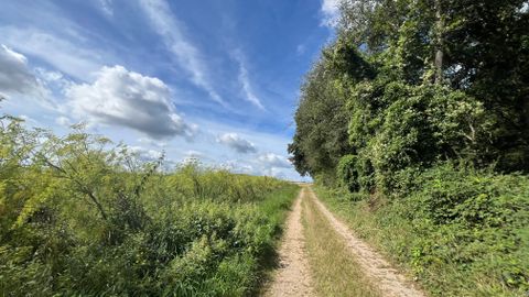
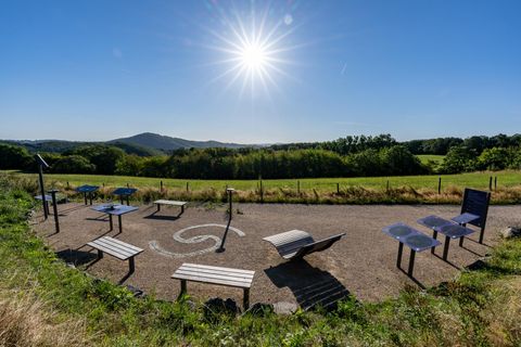
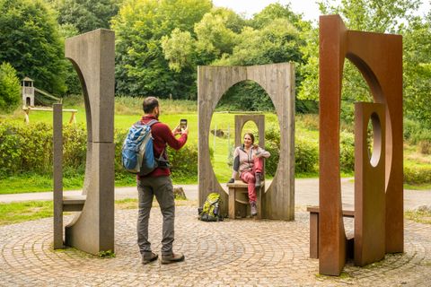
The Reiningweg is a circular hiking trail around the "Bleiberg" in the climatic health resort of Mayen-Kürrenberg. The trail starts at the Rhododendron parking lot in Kürrenberg and leads through the Mayen city forest. At the Bleiberg hut, you can enjoy a view of the beautiful Nitztal valley. There are several opportunities to rest along the route, which are ideal for a little refreshment.
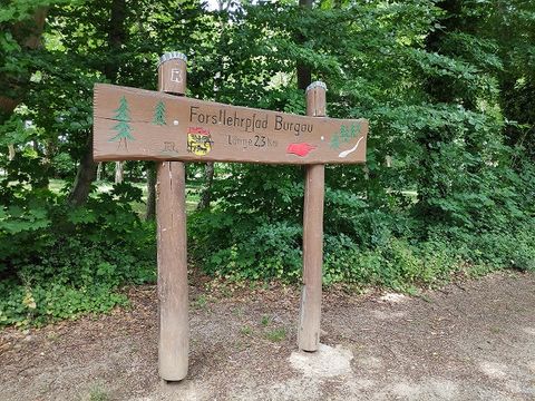
The trail is approx. 5 km long and marked by green signposts. The trail is therefore ideal for families with children.
