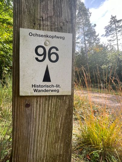
Ochsenkopf-Weg [96]
Description
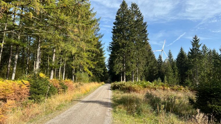
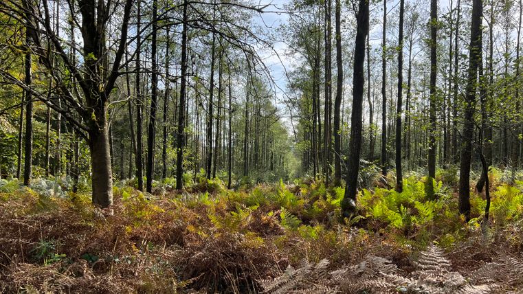
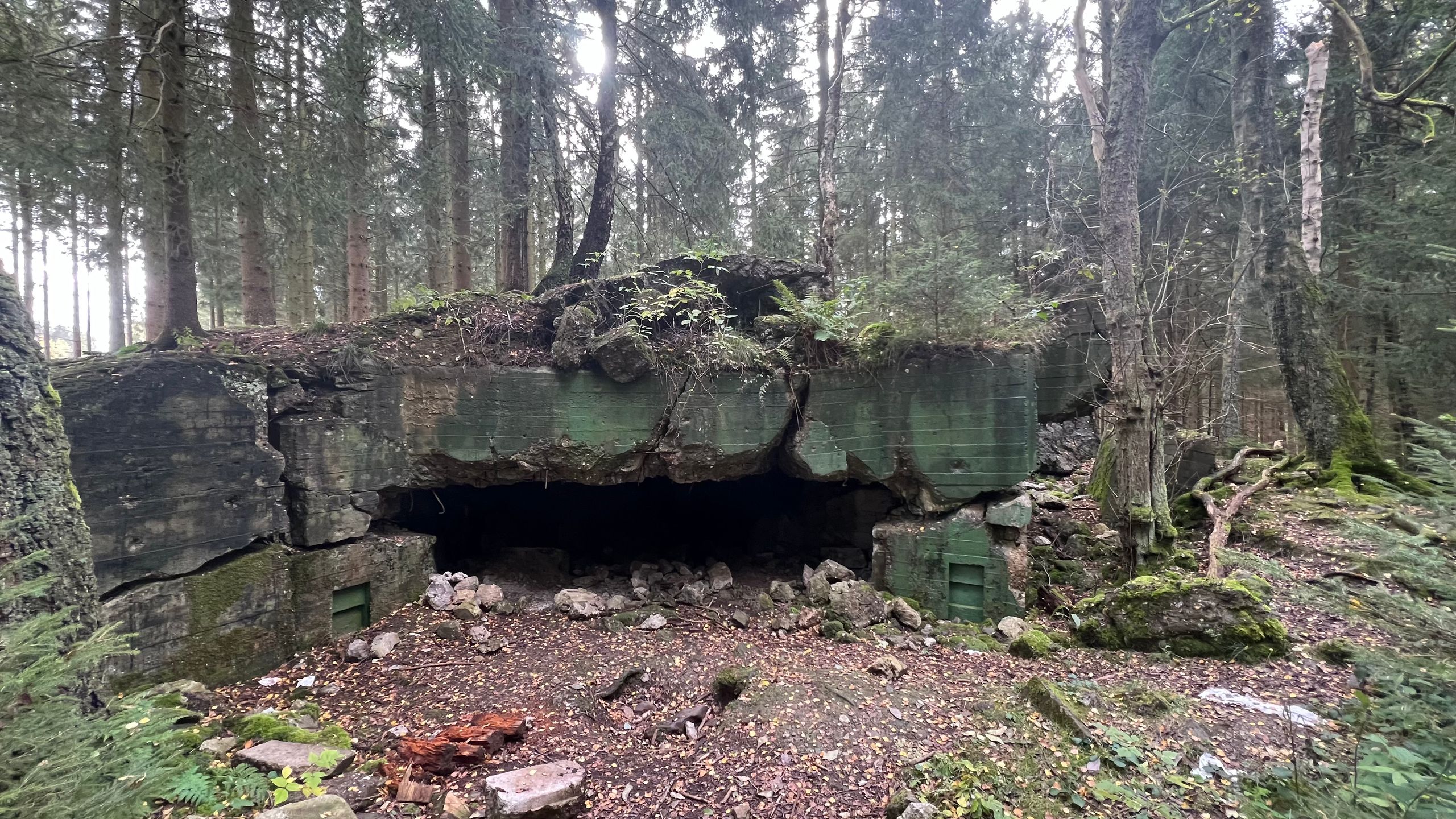
On a day in autumn, when wisps of mist drift through the spruce forests like ghosts, you can sense here on the Ochsenkopf a little of what made the forest battles so eerie for the soldiers on both sides and contributed to the myths and legends of the Hürtgen Forest.
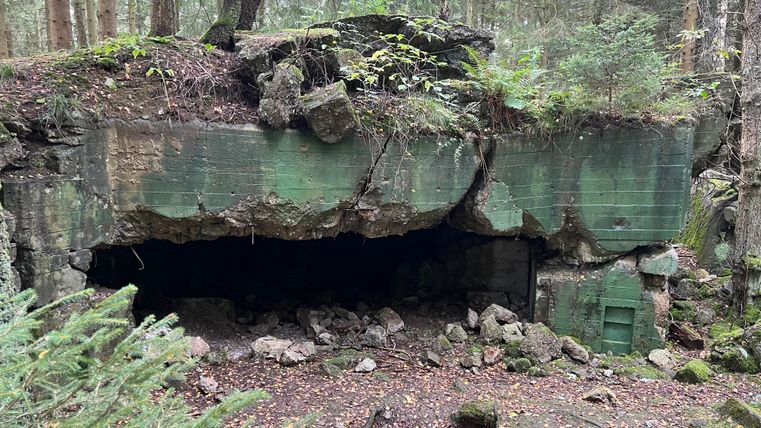
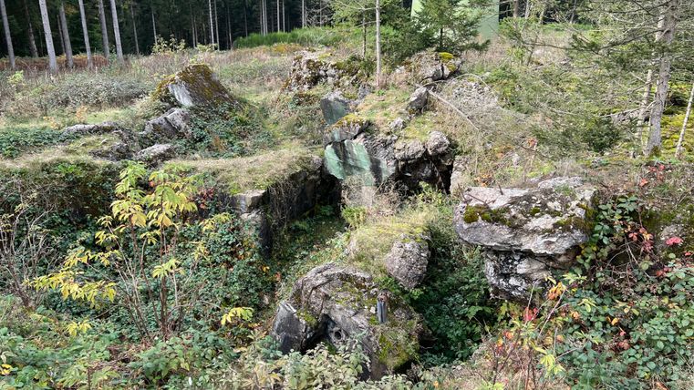
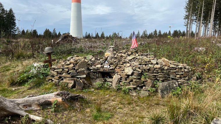
You start this hike at the Ochsenkopf parking lot near Raffelsbrand. Shortly after the start of the hike, you will discover old positions and cover holes from the Second World War. You will also see bunker ruins and memorials to the fallen along the way.
Impressions
Copyright: Rureifel-Tourismus e.V., Michelle Wiesen Copyright: Rureifel-Tourismus e.V., Michelle Wiesen Copyright: Rureifel-Tourismus e.V., Michelle Wiesen Copyright: Rureifel-Tourismus e.V., Michelle Wiesen Copyright: Rureifel-Tourismus e.V., Michelle Wiesen Copyright: Rureifel-Tourismus e.V., Michelle Wiesen
Further information
Card material
We recommend:
- Hiking map no. 2 | Rureifel of the Eifelverein.
These are available from our local tourist information offices.

Rureifel Tourismus GmbH
Matthias-Zimmermann-Straße 14a
52152 Simmerath
