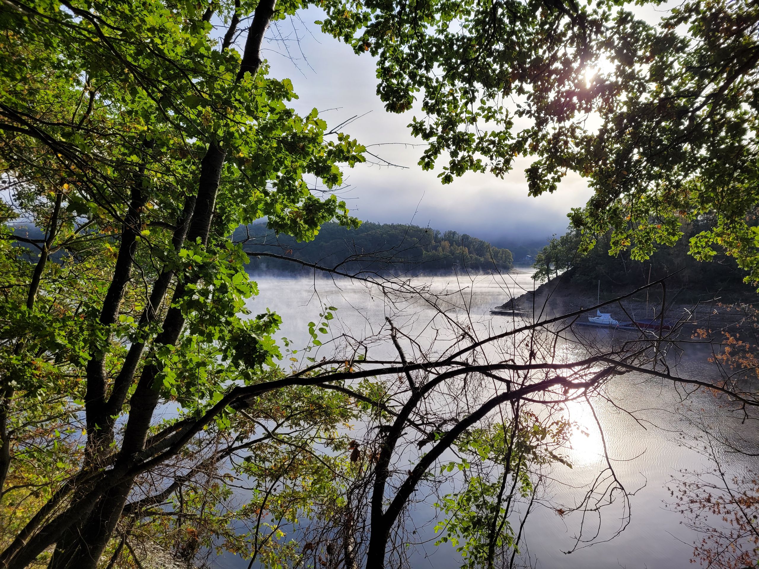
34 - Öm de Kier
Description
29 circular hiking trails in the municipality of Simmerath: Hiking trail 34 - Öm de KihrDistance: 9.3 kmStarting point: Hövelchesweg in Simmerath-Woffelsbach or hiking parking lot at the fire station in Simmerath-Rurberg
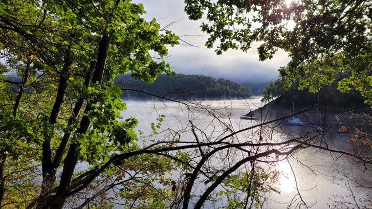
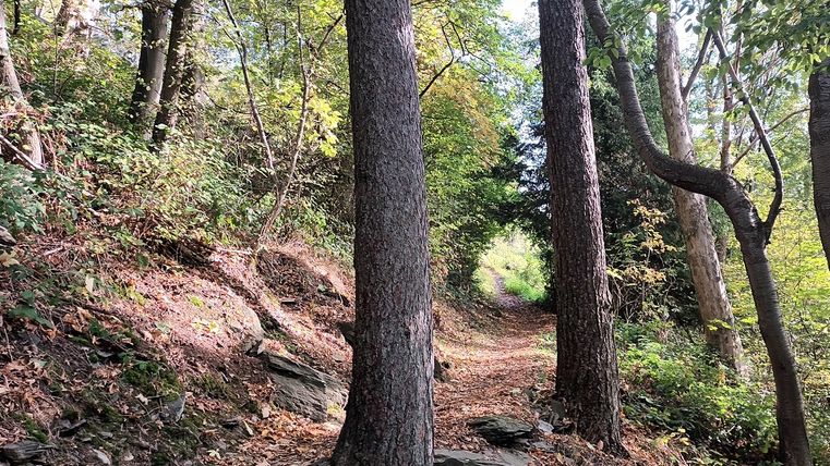
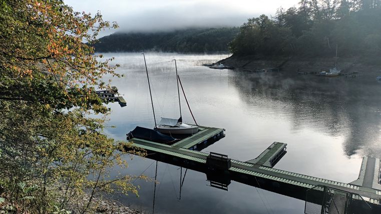
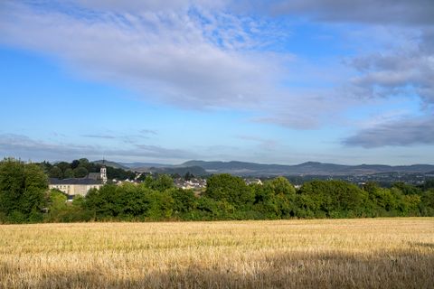
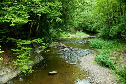
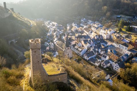
The tour explores the variety of landscapes between Woffelsbach and Rurberg. You reach Woffelsbach via Weidenhövel along the lakeshore. The Wolfsbach accompanies the hiking trail for a while through the forest to the highest point of the tour. The trail leads back to Rurberg through the Weidenbach valley.
Highlights of the tour
- Weidenhövel Rurberg
- Wolfsbach
- Eifel view "Kierberg
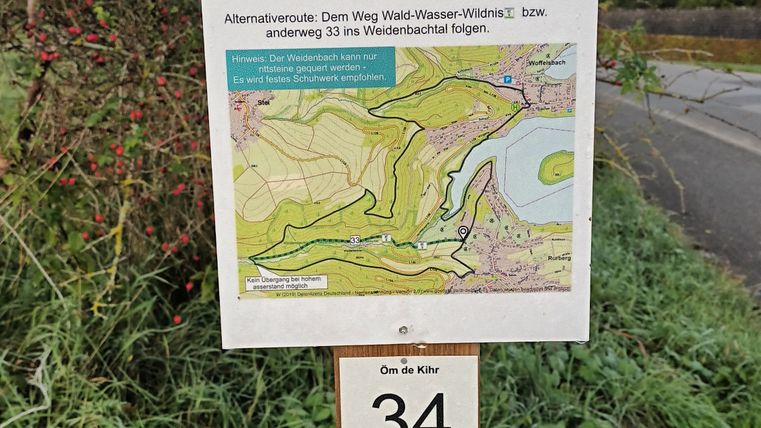
Note: The Weidenbach stream must be crossed via stepping stones along the way. If the Weidenbach is flooded, the local detour is via hiking trail 33 to Rurberg.
A brochure with all the circular hiking trails in the municipality of Simmerath is available at the Rursee-Touristik offices, at Simmerath town hall and for download at www.rursee.de.
