Active filter
- Sort by "Best results"
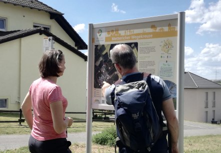
Bitburger LandGang - Mettericher Wegekreuze - Metterich circular route
Lenght: 8.5 km
Difficulty: medium
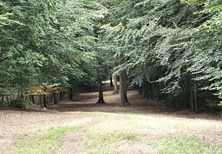
Bitburger LandGang - Oberkailer Waldroute - Circuit around Oberkail
Lenght: 4.2 km
Route: Gemeindehalle "Haus Kayl", Kyllburger Straße 6, 54533 Oberkail to Gemeindehalle "Haus Kayl", Kyllburger Straße 6, 54533 Oberkail
Difficulty: easy

Bitburger LandGang - Schlossroute - Circular route around Malberg
Lenght: 3 km
Route: Gemeindehalle Malberg, Finstinger Straße, 54655 Malberg to Gemeindehalle Malberg, Finstinger Straße, 54655 Malberg
Difficulty: medium
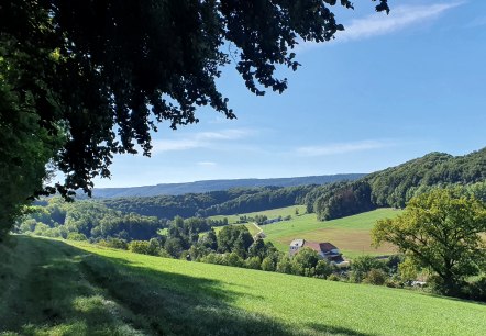
Bitburger LandGang - Small juniper round - Circular route around Halsdorf
Lenght: 3.8 km
Route: Schulstraße (Gemeindehaus), 54646 Halsdorf to Schulstraße (Gemeindehaus), 54646 Halsdorf
Difficulty: easy

Bitburger LandGang - Trimporter Gutland - Rundweg um Trimport
Lenght: 2.6 km
Route: Gemeindehaus, Schulstraße, 54636 Trimport to Gemeindehaus, Schulstraße, 54636 Trimport
Difficulty: easy
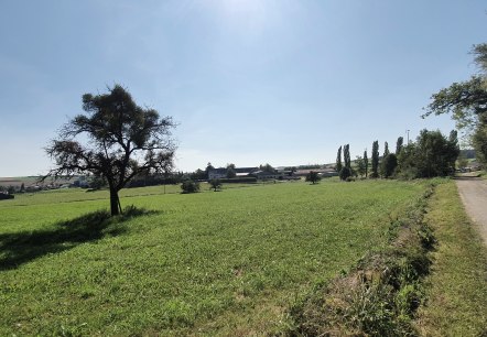
Bitburger LandGang - Zum Erdelchen - Circular route around Idesheim
Lenght: 3.2 km
Route: Feuerwehrhaus/Dorfplatz, Hauptstraße, 54636 Idesheim to Feuerwehrhaus/Dorfplatz, Hauptstraße, 54636 Idesheim
Difficulty: easy

Bitburger LandGang – SULMANA - Circular route around Sülm
Lenght: 7.9 km
Route: Denkmalstraße an der Kapelle in Sülm to Denkmalstraße an der Kapelle in Sülm
Difficulty: medium
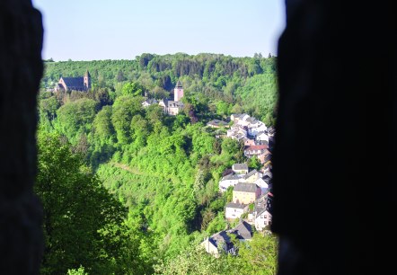
Bitburger LandGang "Marienschleife" Circular route around Kyllburg
Lenght: 3.8 km
Route: Marktplatz, 54655 Kyllburg to Marktplatz, 54655 Kyllburg
Difficulty: medium

Bitburger LandGang- Kreuzweg-Schleife - Seffern and Sefferweich circular route
Lenght: 6.2 km
Route: Die hat zwei Startmöglichkeiten Seffern oder Sefferweich an der Kirche jeweils in der Hauptstraße to Die hat zwei Startmöglichkeiten Seffern oder Sefferweich an der Kirche jeweils in der Hauptstraße
Difficulty: medium
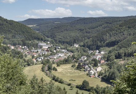
Bitburger LandGang- St. Thomaser Klosterrunde - Circuit around St. Thomas
Lenght: 6.1 km
Route: Parkplatz vor dem Kloster St. Thomas, Hauptstraße, 54655 St. Thomas to Parkplatz vor dem Kloster St. Thomas, Hauptstraße, 54655 St. Thomas
Difficulty: difficult

