The Eifelsteig
Premium hiking trail from Aachen-Kornelimünster to Trier
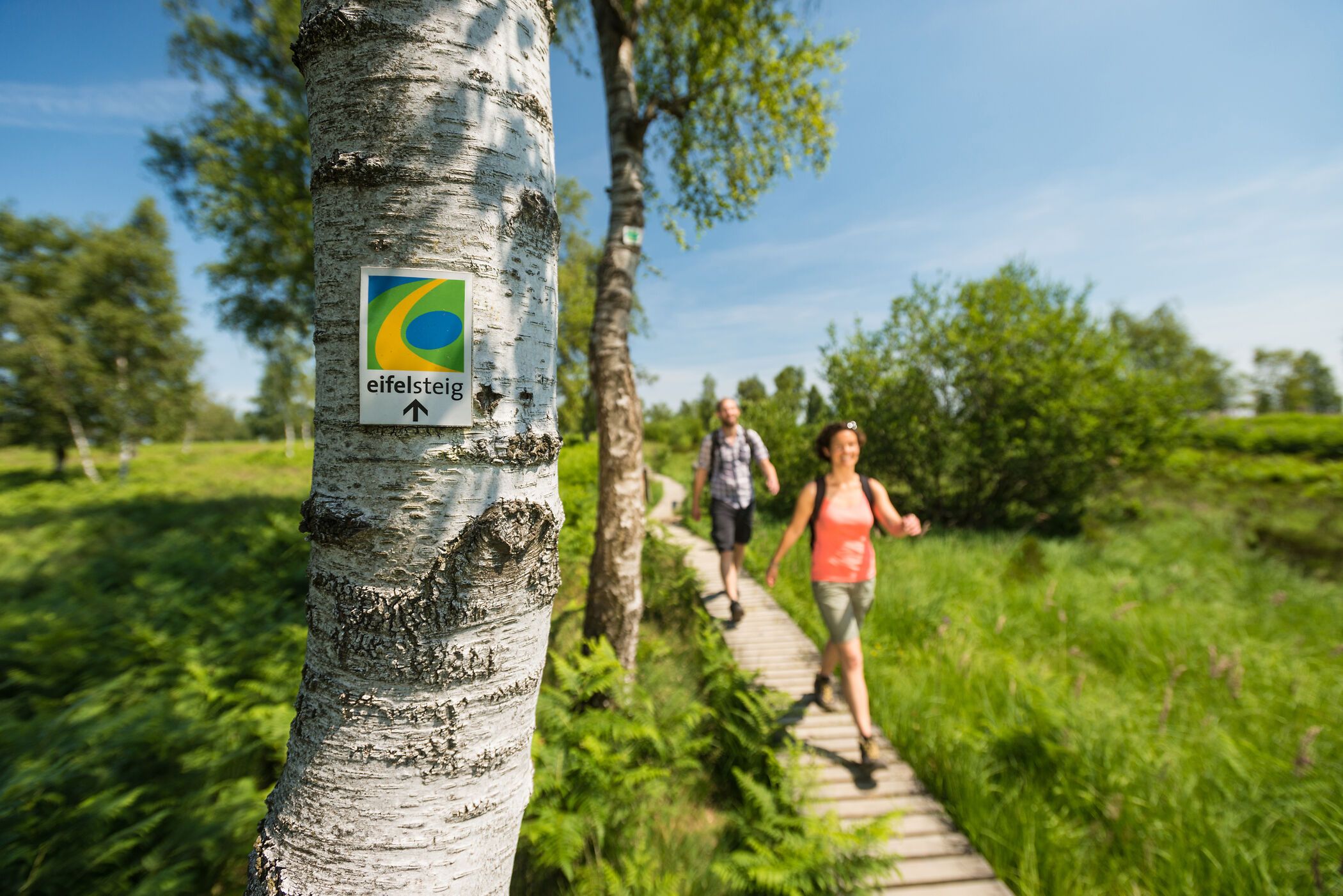
The Eifelsteig hiking trail is 313 km long and leads right across the Eifel from Aachen, the coronation city of Charlemagne, to the Roman imperial city of Trier."Where rock and water accompany you" is the motto of the Eifelsteig, the recurring combination of the two is its very own characteristic and accompanies you continuously on your hiking tour through the Eifel.
The premium hiking trail is complemented by its partner trails - the NRW partner trails and the Vulkaneifel trails.
The hiking trail begins in the north of the Eifel with pleasant hills that lead into flat countryside. The first stages are characterized by the upland moor landscape of the High Fens and the house-high beech hedges that serve as a windbreak. The route continues through the Eifel National Park with rocky passages and mixed forests to the dam wall of the Urft dam.
The hike continues up to the Dreiborn plateau with the "International Place Vogelsang" and back down to the Urft, which leads to Gemünd. Passing a Roman water pipeline (which once carried water from the Eifel to Cologne), the trail heads towards Blankenheim, where the border between North Rhine-Westphalia and Rhineland-Palatinate is crossed shortly afterwards.
The landscape is now dominated by volcanic activity. Outstanding natural spectacles are the growing Dreimühlen waterfall, the dolomite rocks in Gerolstein and, of course, the maars of the Eifel, mystical lakes of volcanic origin. On the hike from Daun, the Eifelsteig runs along the Lieser Trail before turning off into the Salm Valley and further southwest towards the Kyll Valley. After Kordel, we leave the Kyll valley and reach an attraction in the middle of the forest, the Genoveva Cave, via Ramstein Castle. An impressive cave in reddish-yellow sedimentary rock. The Eifelsteig trail leads along the red sandstone cliffs above the Moselle from Biewer to the end point of the hiking tour in Trier.
When are you hiking the Eifelsteig?