All hiking trails | Hiking | Holidays in the Eifel
Wandern durch die hügelige Landschaft der Eifel, © Eifel Tourismus GmbH, Dominik Ketz

Eifel hiking trails

HIKING THROUGH IMPRESSIVE NATURAL LANDSCAPES

The uplands between Aachen, Cologne, Koblenz and Trier are of interest for their varied landscape and cultural history. They offer the ideal setting for a hiking holiday.
Breathtaking natural landscapes are waiting to be discovered on a hiking tour of the Eifel! Visit the ancient beech and oak forest in the Eifel National Park, the high moorlands of the “Hohes Venn - Eifel” high fen natural park, the enormous reservoirs in the North Rhine-Westphalian Eifel region, the maars in the Volcanic Eifel natural  and geopark, the fertile “Bitburger Gutland” with its orchards, the wild, craggy rocky landscape of the Ferschweiler plateau and the wide open plateaux of the wild Islek region in the South Eifel natural park, or the East Eifel, once covered by glowing lava and still dominated today by volcanic cones and crater lakes. 

It’s well worth stopping along the way to visit the picturesque Eifel towns with historic town centres, half-timbered houses dating from the Middle Ages, Roman walls, rugged castles and splendid palaces. Another special experience for hiking enthusiasts!
The Eifel has many facets, and it’s worth considering hiking routes through both North Rhine-Westphalia and Rhineland Palatinate. A large number of trails are available to choose from when planning your tour.


mehr lesen

Share content:

Bitte akzeptieren Sie den Einsatz aller Cookies, um den Inhalt dieser Seite sehen zu können.

Alle Cookies Freigeben

Active filter

  • Sort by "by chance"

Filter results

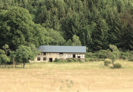
Historical school route Arft, © Volker Windheuser

Historischer Schulweg in Arft / Eifel

Lenght: 9.3 km

More information
Malberg Castle sits enthroned on a hill, surrounded by blossoming trees and houses. The sky is clear and blue., © Tourist-Information Bitburger Land_Monika Mayer

Bitburger LandGang - Schlossroute - Circular route around Malberg

Lenght: 3 km
Route: Gemeindehalle Malberg, Finstinger Straße, 54655 Malberg to Gemeindehalle Malberg, Finstinger Straße, 54655 Malberg

More information
View from the Dietzenley, © Eifel Tourismus GmbH, D. Ketz

Gerolstein Celtic Route

Lenght: 8.9 km
Route: Tourist-Information in Gerolstein to Tourist-Information in Gerolstein

More information
Eifel National Park, © A. Simantke

Wildnis-Trail (Gesamt)

Lenght: 84.3 km

More information
Weinfelder and Schalkenmehren maar, © Eifel Tourismus GmbH, D. Ketz

Eifelsteig Stage 11

Lenght: 23.4 km
Route: Daun to Manderscheid

More information
Genusswandern, © Eifel Tourismus GmbH, Dominik Ketz

Genuss zu Fuß (Pleasure by foot)

Lenght: 7.5 km
Route:  Hillesheim Str. - Fritz-von-Wille-Straße, 54578 Kerpen/ Eifel to  Hillesheim Str. - Fritz-von-Wille-Straße, 54578 Kerpen/ Eifel

More information
Jägersweiler, © Gemeinde Simmerath J. Jehnen

15 - Jägersweilerweg

Lenght: 4.5 km

More information
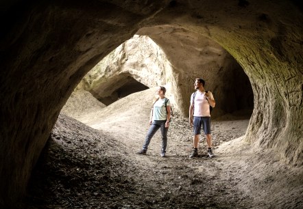
In the Trass caves on the Traumpfad cave and gorge trail, © Eifel Tourismus GmbH, Dominik Ketz

Traumpfad Höhlen- und Schluchtensteig

Lenght: 12.2 km

More information
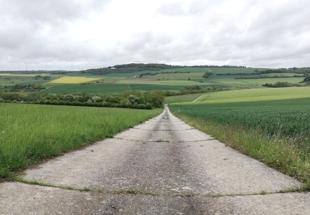
field path Fusenich, © Nicole Zimmer

Hiking trail Trierweiler - Fusenig 5

Lenght: 6.6 km
Route: Town Hall Fusenich to Town Hall Fusenich

More information
A forest clearing with a dense green canopy and a narrow path leading through the forest. The ground is covered with leaves., © TI Bitburger Land - Steffi Wagner

Bitburger LandGang - Oberkailer Waldroute - Circuit around Oberkail

Lenght: 4.2 km
Route: Gemeindehalle "Haus Kayl", Kyllburger Straße 6, 54533 Oberkail to Gemeindehalle "Haus Kayl", Kyllburger Straße 6, 54533 Oberkail

More information
Wandern zu den Narzissen der Eifel, © Städteregion Aachen, Dominik Ketz

Hiking tips for one-day hikes

SELECTED HIKES THROUGH THE EIFEL

More information