Active filter
- Search for "cones"
- Sort by "Best results"
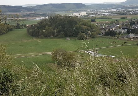
Lüxeberg Bombogen
Wittlich
The Lüxeberg is an extinct volcanic cone of a good 220 m, located on the southern edge of the volcanic Eifel in the Wittlicher Senke.
More information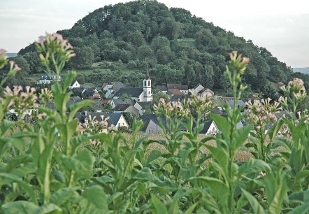
Neuerburger Kopf
Wittlich
The Neuerburger Kopf is an extinct volcanic cone of 286 m height and the symbol of the Wittlicher Senke.
More information
Romantik Schloss Hotel Kurfürstliches Amtshaus
Daun
- car parking lot
- WiFi
- pets welcome
- non-smokers
- sauna
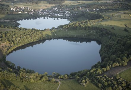
Eifel Geopark hosts
More information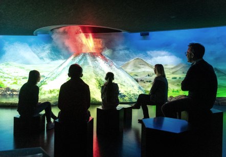
Volcano park - Laacher See national geopark
More information
UNESCO volcanic Eifel geopark
The volcanic Eifel - valuable natural heritage, certified as a europeen geopark, part of the UNESCO-supported global geopark network.
More information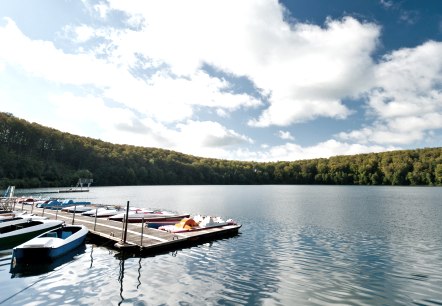
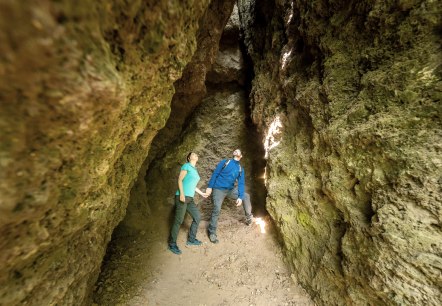
Steinzeithöhlen
Bad Bertrich
At the foot of the Falkenlay rock there are smaller stone age caves. Their settllement between 4,000 and 2,000 BC by Stone Age hunters was proven by corresponding finds. The caves can be reached via the "HeimatSpur Geo-Route", "HeimatSpur Wasserfall-Erlebnisroute" hiking trails…
More information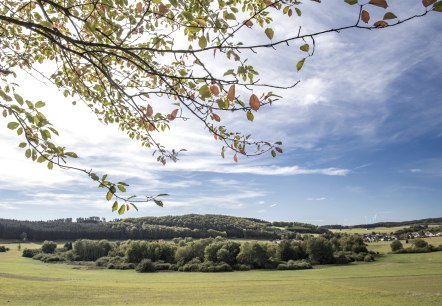
Mosbrucher Weiher
Mosbruch
Mosbrucher Pond The Mosbrucher pond is framed by agriculturally used area of the neighbouring communities. In the areas of undisturbed marshland development, the peat thickness is up to 6 metres, on top of which a varied mosaic of different marshland communities can be found…
More information
