Search | Holidays in the Eifel

Your search for passing returned passing hits

Bitte akzeptieren Sie den Einsatz aller Cookies, um den Inhalt dieser Seite sehen zu können.

Alle Cookies Freigeben

Active filter

  • Search for "passing"
  • Sort by "Best results"

Refine your search

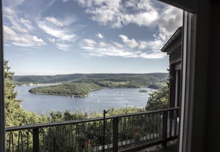
Ferienhaus Waldhaus Anne Seeblick

Waldhaus Anne

Nideggen-Schmidt

  • car parking lot
  • pets welcome
  • non-smokers
Read more
Schild

Actionbound: Wald erleben

Ochtendung

This "Bound" is a kind of an interactive digital rally. You need a smartphone on which you can download the "Actionbound" app for free. The bound "Experience the forest" is then loaded onto the smartphone, so that no internet is required on site.

More information
Sonnenuntergang am Burgberg, Krawutschketurm, © Andy Holz-huertgenwaldwetter.de, Kreis Düren

Eifel-Blick "Burgberg"

Hürtgenwald

The tower "Krawutschketurm" offers a breathtaking view over the valleys of the Eifel.

More information
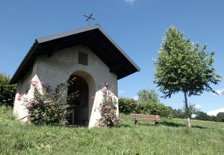
A small chapel in the countryside, surrounded by blooming roses. A bench stands next to it, a tree provides shade. Blue sky in the background., © Tourist-Information Bitburger Land, Melanie Salzburger

GPS bike tour "Idyllic Kallenbach Valley

Lenght: 65.1 km
Difficulty: medium

More information
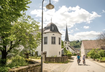
ET6490~1, © Eifel-Tourismus GmbH/Dominik Ketz

GPS-Radtour: Gutland-Route

Lenght: 54.3 km
Difficulty: medium

More information
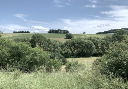
Grüne Felder und Bäume erstrecken sich unter einem blauen Himmel mit wenigen Wolken. Eine ruhige, ländliche Landschaft., © Benjamin Milbach

Hiking trail Röhl - From Rula and SulmanaWanderweg Röhl - Von Rula und Sulmana

Lenght: 19.8 km
Route: 54636 Röhl to 54636 Röhl
Difficulty: difficult

More information
Hiking trail Inderoute: Bridge on the Inde, © aachen tourist service

Inderoute

Lenght: 6.2 km
Route: Aachen-Brand to Kornelimünster
Difficulty: easy

More information
View of the Struffelt Heath, © Eifel Tourismus GmbH/D. Ketz

Struffeltroute

Lenght: 9.7 km
Route: Parking Filterwerk Roetgen to Parking Filterwerk Roetgen
Difficulty: easy

More information
Hiking with children on the Traumpfad volcano trail, © Eifel Tourismus GmbH, Dominik Ketz

Traumpfad Vulkanpfad

Lenght: 6.7 km
Difficulty: medium

More information