Active filter
- Search for "form"
- Sort by "Best results"
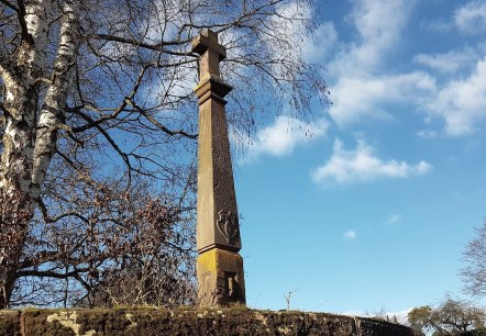
Schaftkreuz im Schlosspark Dreis
Dreis
On the 10. 5 km long Dreiser Kreuze-Weg you can admire the shaft cross in the castle park (station 8), around which a mysterious werewolf legend is entwined.
More information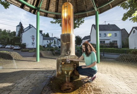
Steinborner Drees
Daun
In the Steinborn district, only a few kilometres from the town of Daun, ferrous mineral water bubbles up from the spring in the centre of the village.
More information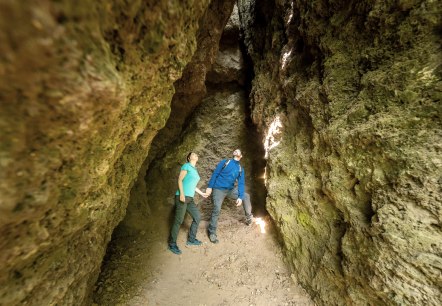
Steinzeithöhlen
Bad Bertrich
At the foot of the Falkenlay rock there are smaller stone age caves. Their settllement between 4,000 and 2,000 BC by Stone Age hunters was proven by corresponding finds. The caves can be reached via the "HeimatSpur Geo-Route", "HeimatSpur Wasserfall-Erlebnisroute" hiking trails…
More information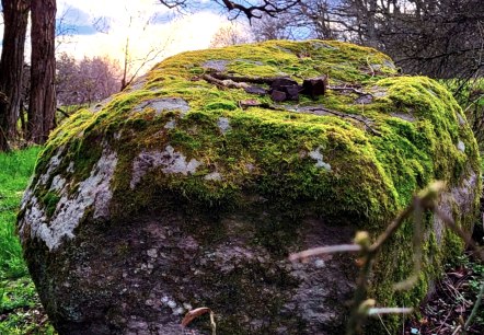
Teufelsstein Bruch
Bruch
The legendary Devil's Stone is a rectangular boulder, about 1. 5 meters long and 1. 5 meters wide. The way to the stone leads from Bruch on the old road to Arenrath over the Mellicher Berg. South of the road, opposite a small weekend house, follow the dirt road to the edge of the forest…
More information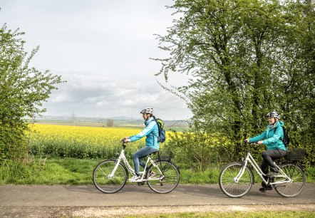
The Maifeld cycle route
Lenght: 20.2 km
Route: Mayen to Münstermaifeld/Ochtendung
Difficulty: easy
Aussichtspunkt Achterhöhe
Lutzerath
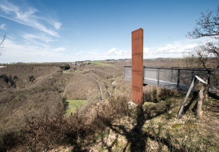
On a forest sofa, let your gaze wander comfortably over the Siebenbach valley and take in all seven meanders of the stream at a glance. On the way on the Heimatspur 05!.
More information
Jungferweiher
Ulmen
The Jungferweiher, a re-flooded dry maar located north of the Ulmener Maar, is known for its richness in migratory birds and serves as a source of drinking water for the Cochem-Zell district.
More information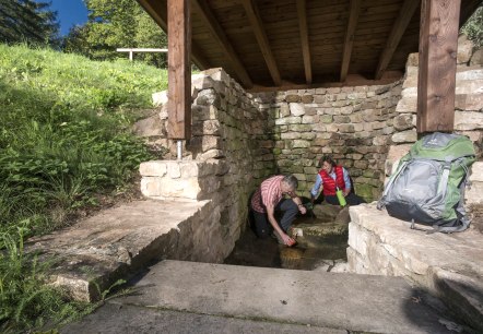
Dreisborn Mineralquelle
Bettenfeld
The “Dreisborn” in the upper Prembach valley below the Mosenberg volcanic group is a constantly producing mineral spring, a so-called “Säuerling” (acidulous spring). The “Dreisborn” belongs to the municipality of Bettenfeld.
More information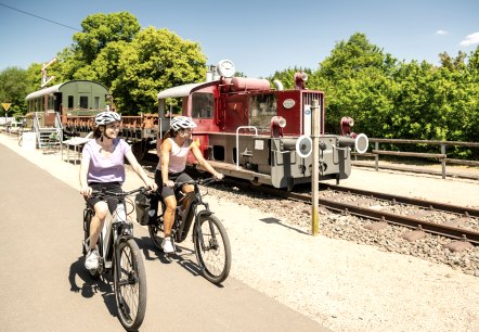
Eifel-Ardennes Cycle Route
Lenght: 36.2 km
Route: Prüm to St. Vith
Difficulty: medium
