Active filter
- Search for "long"
- Sort by "Best results"
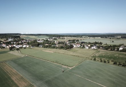
Bitburger LandGang - Between the bushes - Circular route around Idenheim
Lenght: 7 km
Route: Dorfplatz, Hauptstraße, 54636 Idenheim to Dorfplatz, Hauptstraße, 54636 Idenheim
Difficulty: medium
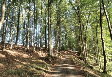
Bitburger LandGang - Echtersbach-Runde - Circular trail Brecht
Lenght: 4.4 km
Route: Dorfplatz an der Prüm Mühlenstraße, 54636 Brecht to Dorfplatz an der Prüm Mühlenstraße, 54636 Brecht
Difficulty: easy
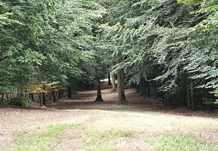
Bitburger LandGang - Oberkailer Waldroute - Circuit around Oberkail
Lenght: 4.2 km
Route: Gemeindehalle "Haus Kayl", Kyllburger Straße 6, 54533 Oberkail to Gemeindehalle "Haus Kayl", Kyllburger Straße 6, 54533 Oberkail
Difficulty: easy
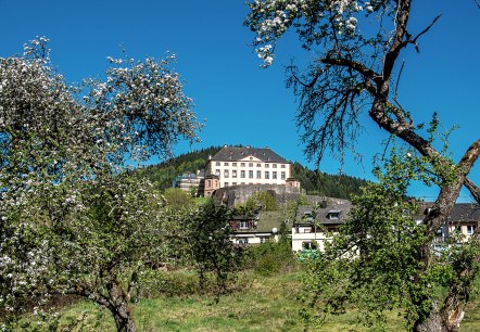
Bitburger LandGang - Schlossroute - Circular route around Malberg
Lenght: 3 km
Route: Gemeindehalle Malberg, Finstinger Straße, 54655 Malberg to Gemeindehalle Malberg, Finstinger Straße, 54655 Malberg
Difficulty: medium

Bitburger LandGang - Small juniper round - Circular route around Halsdorf
Lenght: 3.8 km
Route: Schulstraße (Gemeindehaus), 54646 Halsdorf to Schulstraße (Gemeindehaus), 54646 Halsdorf
Difficulty: easy
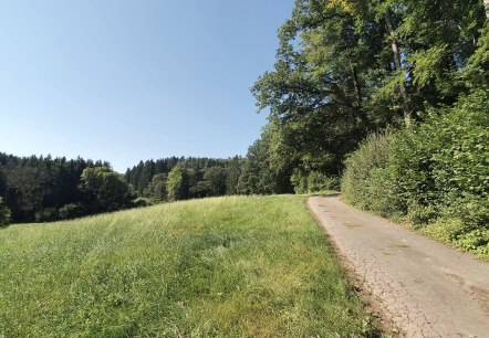
Bitburger LandGang – SULMANA - Circular route around Sülm
Lenght: 7.9 km
Route: Denkmalstraße an der Kapelle in Sülm to Denkmalstraße an der Kapelle in Sülm
Difficulty: medium

Bitburger LandGang- Kreuzweg-Schleife - Seffern and Sefferweich circular route
Lenght: 6.2 km
Route: Die hat zwei Startmöglichkeiten Seffern oder Sefferweich an der Kirche jeweils in der Hauptstraße to Die hat zwei Startmöglichkeiten Seffern oder Sefferweich an der Kirche jeweils in der Hauptstraße
Difficulty: medium
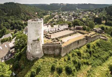
Burg Reifferscheid
Hellenthal
Close to the border between the Eifel and the Ardennes in the municipality of Hellenthal is Reifferscheid Castle, first mentioned in 1106, a medieval hilltop castle typical of the Eifel. The current system of castle ruins, outer bailey and fortified castle settlement reflects the change in this former mansion…
More information
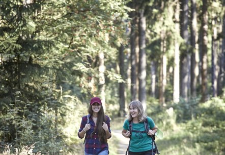
Circular route | Rundweg Hocheifel
Lenght: 25.6 km
Route: Dr.-Creuz-Platz in Adenau to Dr.-Creuz-Platz in Adenau
Difficulty: difficult

