Active filter
- Search for "long"
- Sort by "Best results"
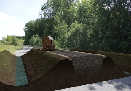
ARGO Roman Road Meckel-Meilbrück
Meckel
Experience ancient reality on the go with ARGO - Augmented Archaeology.
More information
Bäckerei Bell GmbH
Blankenheim
The name "BELL" stands for the tradition of a family business, the love of old craftsmanship and the use of natural and well-tried raw materials. Our company headquarters with production and our café are located in the Nürburgstraße in Blankenheim-Blankenheimerdorf…
More information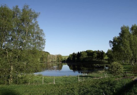
Booser Doppelmaar - Vulkanparkstation
Boos
At the "Booser Doppelmaar", western of the municiplity Boos it gives two extensive flat basins in the countryside. One of the two is a dry maar. The other is a pond. They are created through the meeting of hot magma.
More information
Café Bäckerei Bell
Blankenheim
Our branch in the centre of Blankenheim! The name "BELL" stands for the tradition of a family business, the love of old craftsmanship and the use of natural and well-tried raw materials.
More information
Café Bäckerei Bell im REWE
Blankenheim
Our bakery in the REWE-Center in the Blankenheim industrial park! The name "BELL" stands for the tradition of a family business, the love of old craftsmanship and the use of natural and well-tried raw materials.
More information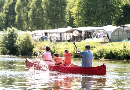
Canoe hire at Camping Altschmiede, Bollendorf an der Sauer
Bollendorf
The campsite "Altschmiede" rents out canoes for a tour on the border river "Sauer" during the season.
More information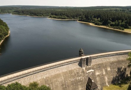
Dreilägerbachtalsperre
Roetgen
The Dreilägerbach dam, which was built between 1909 and 1911, is located between Roetgen and Rott. An undisturbed hike around the drinking water reservoir is particularly attractive in the southern area. You will find hiking boards and signposted circular hiking trails in the surrounding hiking car parks…
More information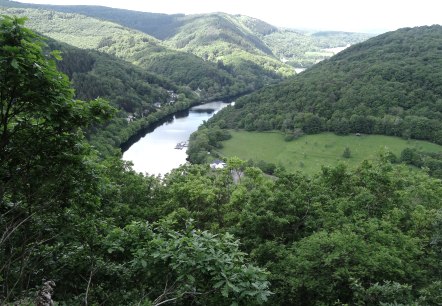
Eifel-Blick "Luna"
Heimbach
This Eifel view, at 340 metres above sea level, on the Bildchesberg offers you a distant view in a south to north-westerly direction, with two core areas of the Eifel National Park in view. Übersetzt mit DeepL Translate.
More information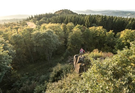
Gerolstein Celtic Route
Lenght: 8.9 km
Route: Tourist-Information in Gerolstein to Tourist-Information in Gerolstein

Höckerlinie des Westwalls
Grosskampenberg
Shortly before the Second World War, this anti-tank line formed from concrete humps was built. Part of the cusp line can be seen at Großkampenberg.
More information
