Search | Holidays in the Eifel

Your search for stops returned stops hits

Bitte akzeptieren Sie den Einsatz aller Cookies, um den Inhalt dieser Seite sehen zu können.

Alle Cookies Freigeben

Active filter

  • Search for "stops"
  • Sort by "Best results"

Refine your search

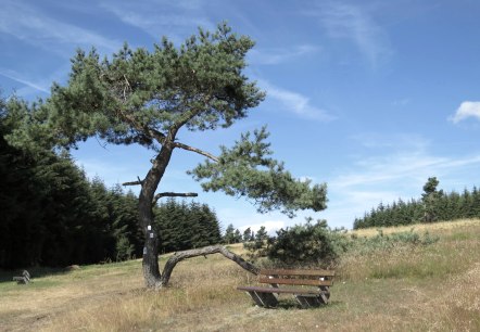
juniper-heath-by-arft, © Svenja Schulze-Entrup

Arfter Runde - roter Punkt - Rundwanderweg in Arft/ Eifel

Lenght: 5.8 km

More information
Aerial view of Idenheim: A rural settlement surrounded by green fields, with wind turbines on the horizon under a clear sky., © Ingrid Penning

Bitburger LandGang - Between the bushes - Circular route around Idenheim

Lenght: 7 km
Route: Dorfplatz, Hauptstraße, 54636 Idenheim to Dorfplatz, Hauptstraße, 54636 Idenheim
More information
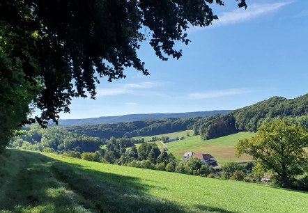
Panoramic view over the Enz valley with green meadows, forests and a farm under a blue sky. Shadow from trees in the foreground., © TI BItburger Land - Steffi Wagner

Bitburger LandGang - Small juniper round - Circular route around Halsdorf

Lenght: 3.8 km
Route: Schulstraße (Gemeindehaus), 54646 Halsdorf to Schulstraße (Gemeindehaus), 54646 Halsdorf
More information
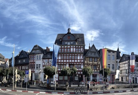
Adenau Markt, © TI Hocheifel-Nürburgring,S.Schulte

Discovery tour on the volcano bike route Eifel for pedelecs

Lenght: 23.8 km
Route: Eifeldorf Grüne Hölle, Nürburg to Eifeldorf Grüne Hölle, Nürburg
More information
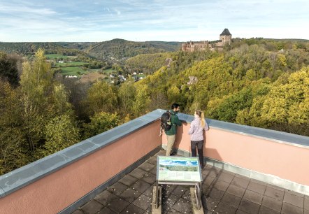
Eifel-Blick Jugendherberge Nideggen, © Eifel Tourismus GmbH, Dominik Ketz

Eifel-Blick "Nideggen Jugendherberge"

Nideggen

From the large panorama terrace of Nideggen Youth Hostel, visitors can enjoy a unique view of the wide landscape of the Rur-Eifel region.

More information
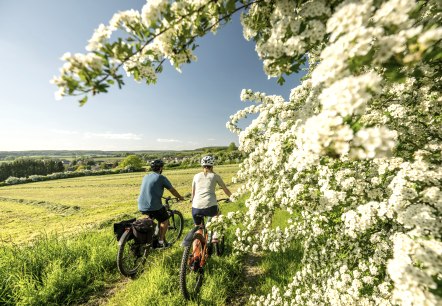
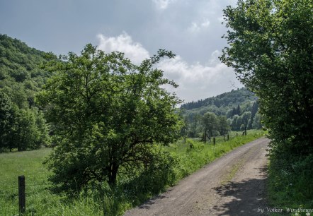
ET-2023-142-Nims Radweg, Messerich-©Eifel Tourismus GmbH, Dominik Ketz, © Eifel Tourismus GmbH, Dominik Ketz

GPS Tour: Bitburger Land Tour

Lenght: 19.7 km

More information
Historical school route Arft, © Volker Windheuser

Historischer Schulweg in Arft / Eifel

Lenght: 9.3 km

More information
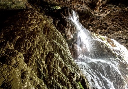
Huwelslay Holsthum, © Felsenland Südeifel Tourismus GmbH

Huwelslay bei Holsthum

Holsthum

Between Holsthum and Peffingen you can observe the formation of calcareous sinter.

More information
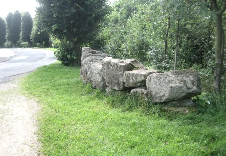
Kastell Icorigium

Icorigium - ehemaliges römisches Kastell

Jünkerath

Remains of a street settlement with a fort: This is where the traffic between the metropolises once pulsed. The former Roman fort Icorigium was located on Agrippastrasse, which led from Cologne to Trier right across the Eifel.

More information
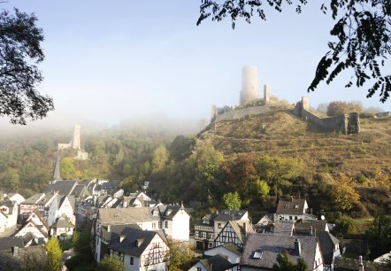
Monreal castles in the fog, © Laura Rinneburger

Karbachtalweg in Monreal und Reudelsterz/ Eifel

Lenght: 7.7 km

More information