The Eifel vacation region
Experiencing nature in the interplay of the elements
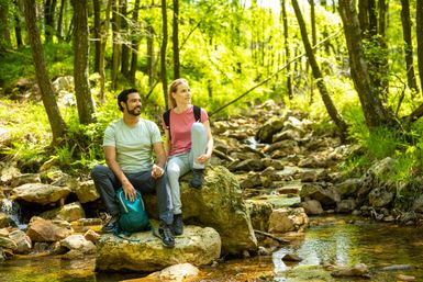
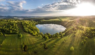
Fire, water, air and earth - hardly any other region in Germany is as characterized by the elements as the Eifel low mountain range. The landscape reflects the geological development of millions of years in fast motion: valleys criss-crossed by rivers, extinct volcanic cones, boggy dry maars, bizarre rock formations and piled-up mountain ranges. A landscape that seems to be constantly changing - a region that enjoys special protection through the creation of the Eifel National Park, UNESCO Global Geopark and nature parks.
Let yourself be inspired
Do you have questions about the Eifel?
The Eifel is a low mountain range in the far west of Germany, bordering Belgium and Luxembourg. The Eifel is located between Aachen, Cologne, Koblenz and Trier.
Our Eifel map gives you a good overview.
The Eifel stretches across the federal states of North Rhine-Westphalia and Rhineland-Palatinate.
The highest mountain in the Eifel is the Hohe Acht at almost 747 meters above sea level.
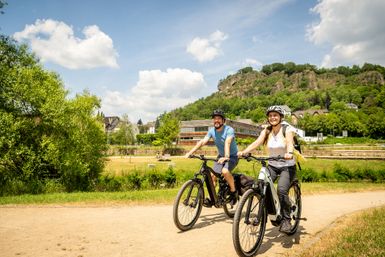
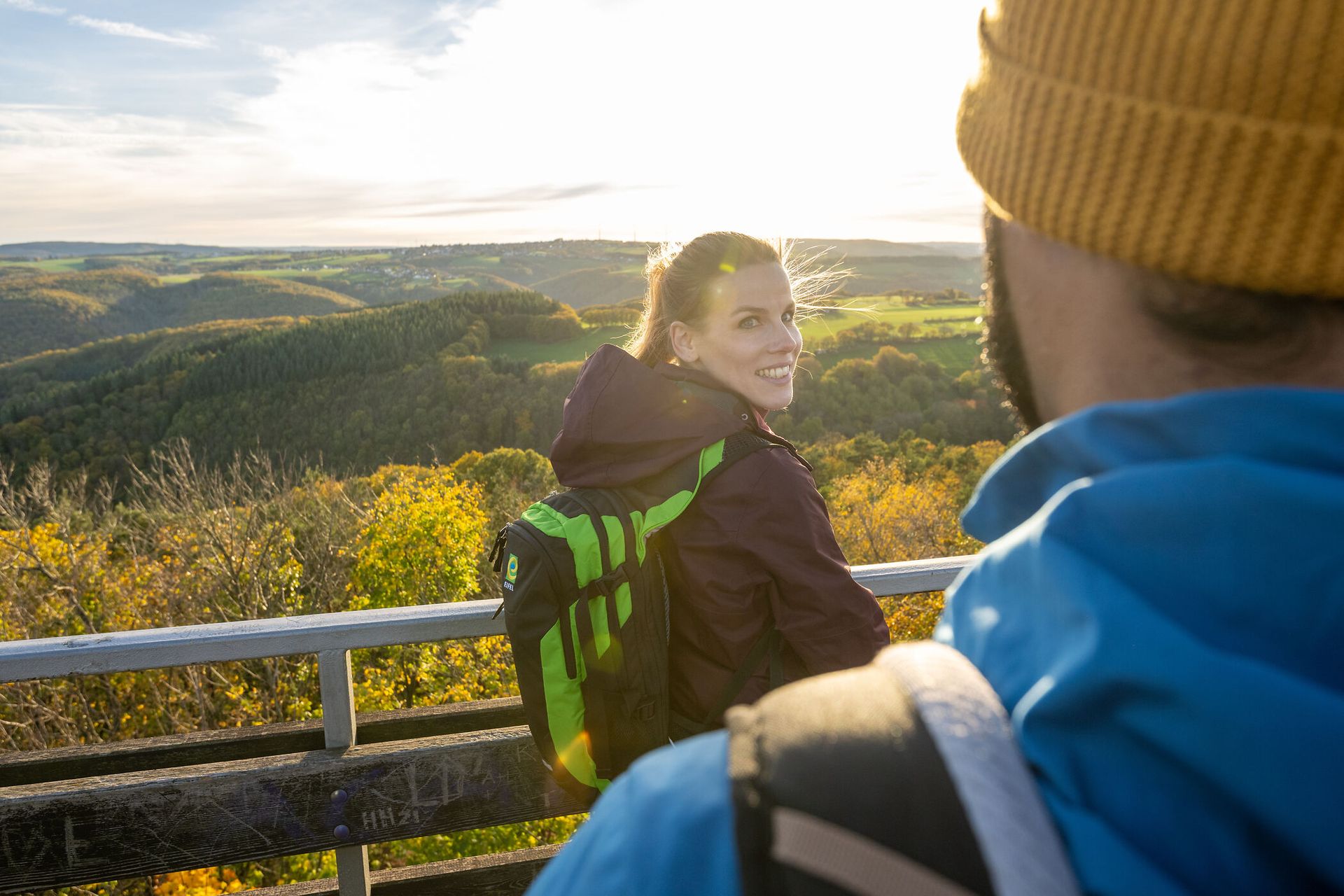
Of course, this is a matter of taste.... There are different landscapes in the Eifel: from the national park in the north to the volcanic landscape and the rocky landscape in the south. In between, there are many opportunities for hiking, cycling and experiencing nature. There are also historic town centers with half-timbered idylls and castles. Take a look at our top 15 excursion tips - you're sure to get an impression of what there is to see in the Eifel. Where do you find it most beautiful? - Share it with us on Instagram and Facebook
Historic town centers with half-timbered houses such as Monschau, Bad Münstereifel, Blankenheim or Monreal are particularly popular. The quaint alleyways in Nideggen, Stolberg, Heimbach or Kronenburg are also worth a visit - here are tips for excursions to the most beautiful little towns in the Eifel.


